Photos • Location


Size of this preview:
729 × 599 pixels. Other resolutions:
292 × 240 pixels |
584 × 480 pixels |
934 × 768 pixels |
1,246 × 1,024 pixels |
2,492 × 2,048 pixels |
3,331 × 2,738 pixels.
Original file (3,331 × 2,738 pixels, file size: 700 KB, MIME type: image/jpeg)
| This is a file from the
Wikimedia Commons. Information from its
description page there is shown below. Commons is a freely licensed media file repository. You can help. |
Summary
| Description |
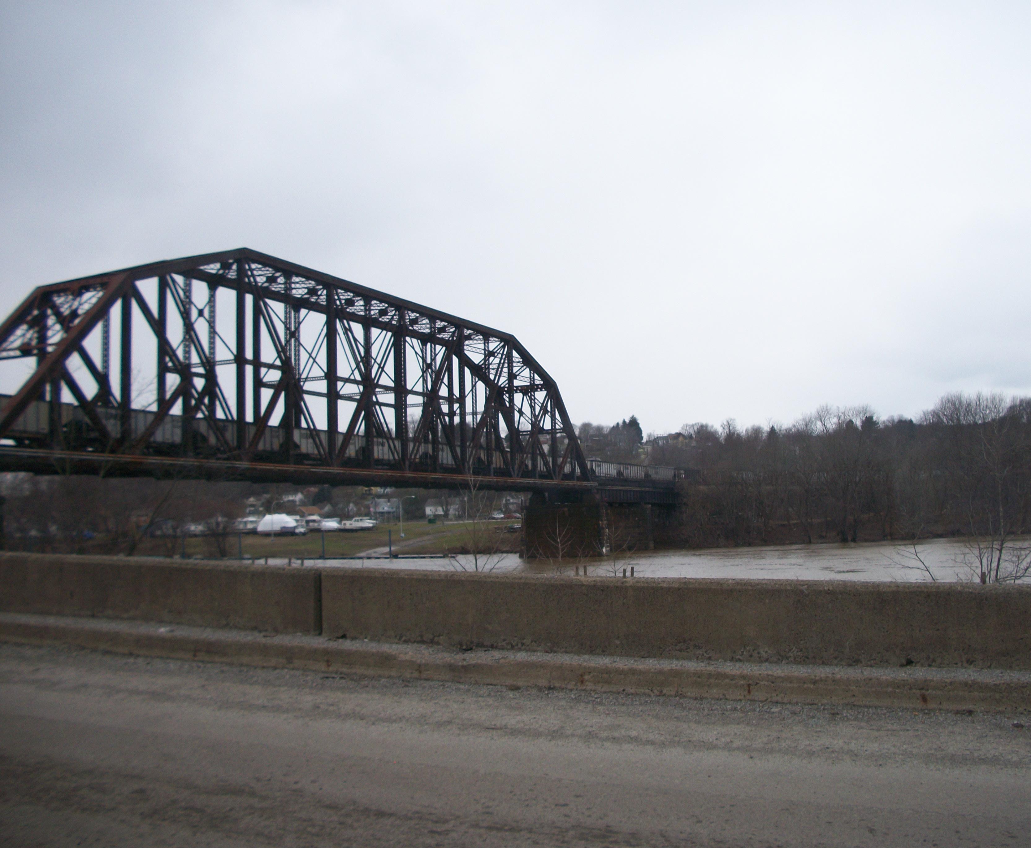
English: West Brownsville Junction Bridge |
| Date | 27 January 2010 (original upload date) |
| Source |
VitaleBaby ( talk)
|
| Author | VitaleBaby at en.wikipedia |
| Camera location | | View this and other nearby images on: OpenStreetMap |
|
|---|
Licensing
| This work has been released into the
public domain by its author,
VitaleBaby at
English Wikipedia. This applies worldwide. In some countries this may not be legally possible; if so: VitaleBaby grants anyone the right to use this work for any purpose, without any conditions, unless such conditions are required by law. |
Original upload log
The original description page was
here. All following user names refer to en.wikipedia.
Upload date | User | Bytes | Dimensions | Comment
- 2010-01-27 08:28 (UTC) | VitaleBaby | 716599 (bytes) | 3331×2738 | {{pd-self}}
File history
Click on a date/time to view the file as it appeared at that time.
| Date/Time | Thumbnail | Dimensions | User | Comment | |
|---|---|---|---|---|---|
| current | 10:40, 10 October 2011 |
| 3,331 × 2,738 (700 KB) | SreeBot | (Original text) : {{pd-self}} |
File usage
The following pages on the English Wikipedia use this file (pages on other projects are not listed):
Global file usage
The following other wikis use this file:
- Usage on sv.wikipedia.org
- Usage on www.wikidata.org
Metadata
Size of this preview:
729 × 599 pixels. Other resolutions:
292 × 240 pixels |
584 × 480 pixels |
934 × 768 pixels |
1,246 × 1,024 pixels |
2,492 × 2,048 pixels |
3,331 × 2,738 pixels.
Original file (3,331 × 2,738 pixels, file size: 700 KB, MIME type: image/jpeg)
| This is a file from the
Wikimedia Commons. Information from its
description page there is shown below. Commons is a freely licensed media file repository. You can help. |
Summary
| Description |
English: West Brownsville Junction Bridge |
| Date | 27 January 2010 (original upload date) |
| Source |
VitaleBaby ( talk)
|
| Author | VitaleBaby at en.wikipedia |
| Camera location | | View this and other nearby images on: OpenStreetMap |
|
|---|
Licensing
| This work has been released into the
public domain by its author,
VitaleBaby at
English Wikipedia. This applies worldwide. In some countries this may not be legally possible; if so: VitaleBaby grants anyone the right to use this work for any purpose, without any conditions, unless such conditions are required by law. |
Original upload log
The original description page was
here. All following user names refer to en.wikipedia.
Upload date | User | Bytes | Dimensions | Comment
- 2010-01-27 08:28 (UTC) | VitaleBaby | 716599 (bytes) | 3331×2738 | {{pd-self}}
File history
Click on a date/time to view the file as it appeared at that time.
| Date/Time | Thumbnail | Dimensions | User | Comment | |
|---|---|---|---|---|---|
| current | 10:40, 10 October 2011 |
| 3,331 × 2,738 (700 KB) | SreeBot | (Original text) : {{pd-self}} |
File usage
The following pages on the English Wikipedia use this file (pages on other projects are not listed):
Global file usage
The following other wikis use this file:
- Usage on sv.wikipedia.org
- Usage on www.wikidata.org