Photos • Location


Size of this preview:
800 × 533 pixels. Other resolutions:
320 × 213 pixels |
640 × 427 pixels |
1,024 × 683 pixels |
1,280 × 853 pixels |
2,560 × 1,707 pixels |
3,598 × 2,399 pixels.
Original file (3,598 × 2,399 pixels, file size: 4.88 MB, MIME type: image/jpeg)
| This is a file from the
Wikimedia Commons. Information from its
description page there is shown below. Commons is a freely licensed media file repository. You can help. |
Summary
| Description |
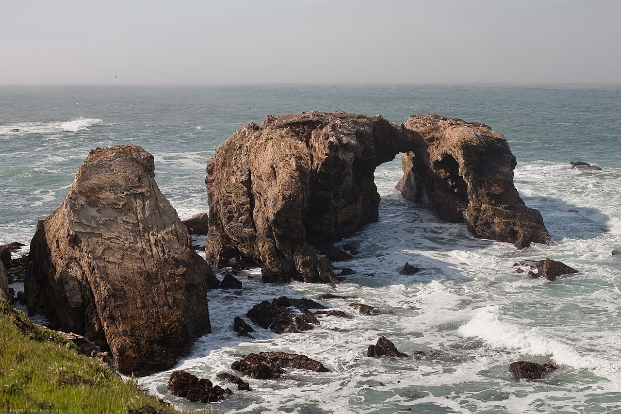
Waterscape with massive arches and stone outcroppings of Miguelito shale — scenery on the Point Buchon Trail.
|
| Date | |
| Source |
2 of 2 Waterscape with massive arches and stone outcroppings of Miguelito shale
|
| Author | Mike Baird from Morro Bay, USA |
| Camera location |
| View this and other nearby images on: OpenStreetMap |
|
|---|
Licensing
This file is licensed under the
Creative Commons
Attribution 2.0 Generic license.
Attribution:
"Mike" Michael L. Baird
- You are free:
- to share – to copy, distribute and transmit the work
- to remix – to adapt the work
- Under the following conditions:
- attribution – You must give appropriate credit, provide a link to the license, and indicate if changes were made. You may do so in any reasonable manner, but not in any way that suggests the licensor endorses you or your use.
| This image, originally posted to Flickr, was reviewed on January 23, 2012 by the administrator or reviewer File Upload Bot (Magnus Manske), who confirmed that it was available on Flickr under the stated license on that date. |
File history
Click on a date/time to view the file as it appeared at that time.
| Date/Time | Thumbnail | Dimensions | User | Comment | |
|---|---|---|---|---|---|
| current | 02:40, 23 January 2012 |
| 3,598 × 2,399 (4.88 MB) | File Upload Bot (Magnus Manske) | {{Information |Description=Waterscape with massive arches and stone outcroppings of Miguelito shale - Scenery from the Point Buchon Trail, which is south of Montana de Oro State Park in Los Osos, CA. Photo by Michael "Mike" L. Baird, mike [at} mikeb |
File usage
The following pages on the English Wikipedia use this file (pages on other projects are not listed):
Metadata
Size of this preview:
800 × 533 pixels. Other resolutions:
320 × 213 pixels |
640 × 427 pixels |
1,024 × 683 pixels |
1,280 × 853 pixels |
2,560 × 1,707 pixels |
3,598 × 2,399 pixels.
Original file (3,598 × 2,399 pixels, file size: 4.88 MB, MIME type: image/jpeg)
| This is a file from the
Wikimedia Commons. Information from its
description page there is shown below. Commons is a freely licensed media file repository. You can help. |
Summary
| Description |
Waterscape with massive arches and stone outcroppings of Miguelito shale — scenery on the Point Buchon Trail.
|
| Date | |
| Source |
2 of 2 Waterscape with massive arches and stone outcroppings of Miguelito shale
|
| Author | Mike Baird from Morro Bay, USA |
| Camera location |
| View this and other nearby images on: OpenStreetMap |
|
|---|
Licensing
This file is licensed under the
Creative Commons
Attribution 2.0 Generic license.
Attribution:
"Mike" Michael L. Baird
- You are free:
- to share – to copy, distribute and transmit the work
- to remix – to adapt the work
- Under the following conditions:
- attribution – You must give appropriate credit, provide a link to the license, and indicate if changes were made. You may do so in any reasonable manner, but not in any way that suggests the licensor endorses you or your use.
| This image, originally posted to Flickr, was reviewed on January 23, 2012 by the administrator or reviewer File Upload Bot (Magnus Manske), who confirmed that it was available on Flickr under the stated license on that date. |
File history
Click on a date/time to view the file as it appeared at that time.
| Date/Time | Thumbnail | Dimensions | User | Comment | |
|---|---|---|---|---|---|
| current | 02:40, 23 January 2012 |
| 3,598 × 2,399 (4.88 MB) | File Upload Bot (Magnus Manske) | {{Information |Description=Waterscape with massive arches and stone outcroppings of Miguelito shale - Scenery from the Point Buchon Trail, which is south of Montana de Oro State Park in Los Osos, CA. Photo by Michael "Mike" L. Baird, mike [at} mikeb |
File usage
The following pages on the English Wikipedia use this file (pages on other projects are not listed):