Photos • Location


Size of this preview:
800 × 533 pixels. Other resolutions:
320 × 213 pixels |
640 × 427 pixels |
1,024 × 683 pixels |
1,500 × 1,000 pixels.
Original file (1,500 × 1,000 pixels, file size: 406 KB, MIME type: image/jpeg)
| This is a file from the
Wikimedia Commons. Information from its
description page there is shown below. Commons is a freely licensed media file repository. You can help. |
| Description |
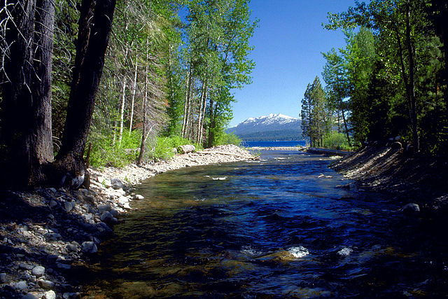
English: The mouth of Ward Creek on the western shore of Lake Tahoe near
Tahoe City, Placer County, California, USA.
Coordinates:
39°7′43.69″N 120°9′19.94″W / 39.1288028°N 120.1555389°W (mouth)
|
|||
| Location | Placer County | |||
| Date | ||||
| Source |
U.S. Army Corps of Engineers Digital Visual Library Image page Image description page Digital Visual Library home page |
|||
| Author | Michael Nevins, U.S. Army Corps of Engineers | |||
| Permission ( Reusing this file) |
|
File history
Click on a date/time to view the file as it appeared at that time.
| Date/Time | Thumbnail | Dimensions | User | Comment | |
|---|---|---|---|---|---|
| current | 20:46, 5 May 2007 |
| 1,500 × 1,000 (406 KB) | DanMS | {{Information | Description = {{en|The mouth of Ward Creek on the western shore of Lake Tahoe near Tahoe City, Placer County, California, USA. The creek flows into Lake Tahoe and is one of the subjects of a study project to maintain the purity of Lake |
File usage
The following pages on the English Wikipedia use this file (pages on other projects are not listed):
Global file usage
The following other wikis use this file:
- Usage on de.wikipedia.org
- Usage on www.wikidata.org
Size of this preview:
800 × 533 pixels. Other resolutions:
320 × 213 pixels |
640 × 427 pixels |
1,024 × 683 pixels |
1,500 × 1,000 pixels.
Original file (1,500 × 1,000 pixels, file size: 406 KB, MIME type: image/jpeg)
| This is a file from the
Wikimedia Commons. Information from its
description page there is shown below. Commons is a freely licensed media file repository. You can help. |
| Description |
English: The mouth of Ward Creek on the western shore of Lake Tahoe near
Tahoe City, Placer County, California, USA.
Coordinates:
39°7′43.69″N 120°9′19.94″W / 39.1288028°N 120.1555389°W (mouth)
|
|||
| Location | Placer County | |||
| Date | ||||
| Source |
U.S. Army Corps of Engineers Digital Visual Library Image page Image description page Digital Visual Library home page |
|||
| Author | Michael Nevins, U.S. Army Corps of Engineers | |||
| Permission ( Reusing this file) |
|
File history
Click on a date/time to view the file as it appeared at that time.
| Date/Time | Thumbnail | Dimensions | User | Comment | |
|---|---|---|---|---|---|
| current | 20:46, 5 May 2007 |
| 1,500 × 1,000 (406 KB) | DanMS | {{Information | Description = {{en|The mouth of Ward Creek on the western shore of Lake Tahoe near Tahoe City, Placer County, California, USA. The creek flows into Lake Tahoe and is one of the subjects of a study project to maintain the purity of Lake |
File usage
The following pages on the English Wikipedia use this file (pages on other projects are not listed):
Global file usage
The following other wikis use this file:
- Usage on de.wikipedia.org
- Usage on www.wikidata.org