Photos • Location


Size of this preview:
800 × 502 pixels. Other resolutions:
320 × 201 pixels |
640 × 402 pixels |
1,024 × 643 pixels |
1,280 × 804 pixels |
2,560 × 1,608 pixels |
3,420 × 2,148 pixels.
Original file (3,420 × 2,148 pixels, file size: 2.12 MB, MIME type: image/jpeg)
| This is a file from the
Wikimedia Commons. Information from its
description page there is shown below. Commons is a freely licensed media file repository. You can help. |
Summary
| Description |
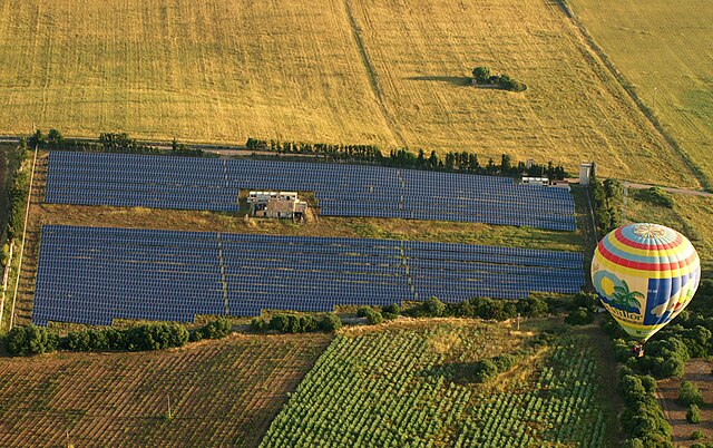
Català: Excursió en globus a Manacor
English: Balloon excursion over Place Son Perot, Manacor, Mallorca |
||
| Date | |||
| Source | Self-photographed | ||
| Author | Chixoy | ||
| Permission ( Reusing this file) |
|
||
| Other versions |
Català: Font: Vaig fer la foto jo mateix. |
| Camera location |
| View this and other nearby images on: OpenStreetMap |
|
|---|
File history
Click on a date/time to view the file as it appeared at that time.
| Date/Time | Thumbnail | Dimensions | User | Comment | |
|---|---|---|---|---|---|
| current | 14:13, 25 August 2010 |
| 3,420 × 2,148 (2.12 MB) | Chixoy | ==== {{int:filedesc}} ==== *{{ca|Excursió en globus a Manacor}} *{{en|Balloon excursion over Manacor}} ===Place=== * '''Lloc'''/'''Place''': Son Perot, Manacor, Mallorca * '''Per''' / '''By''': Chixoy * '''Data''' / '''Date''': 22.0 |
File usage
The following pages on the English Wikipedia use this file (pages on other projects are not listed):
Global file usage
The following other wikis use this file:
- Usage on es.wikipedia.org
- Usage on fr.wikipedia.org
Metadata
Size of this preview:
800 × 502 pixels. Other resolutions:
320 × 201 pixels |
640 × 402 pixels |
1,024 × 643 pixels |
1,280 × 804 pixels |
2,560 × 1,608 pixels |
3,420 × 2,148 pixels.
Original file (3,420 × 2,148 pixels, file size: 2.12 MB, MIME type: image/jpeg)
| This is a file from the
Wikimedia Commons. Information from its
description page there is shown below. Commons is a freely licensed media file repository. You can help. |
Summary
| Description |
Català: Excursió en globus a Manacor
English: Balloon excursion over Place Son Perot, Manacor, Mallorca |
||
| Date | |||
| Source | Self-photographed | ||
| Author | Chixoy | ||
| Permission ( Reusing this file) |
|
||
| Other versions |
Català: Font: Vaig fer la foto jo mateix. |
| Camera location |
| View this and other nearby images on: OpenStreetMap |
|
|---|
File history
Click on a date/time to view the file as it appeared at that time.
| Date/Time | Thumbnail | Dimensions | User | Comment | |
|---|---|---|---|---|---|
| current | 14:13, 25 August 2010 |
| 3,420 × 2,148 (2.12 MB) | Chixoy | ==== {{int:filedesc}} ==== *{{ca|Excursió en globus a Manacor}} *{{en|Balloon excursion over Manacor}} ===Place=== * '''Lloc'''/'''Place''': Son Perot, Manacor, Mallorca * '''Per''' / '''By''': Chixoy * '''Data''' / '''Date''': 22.0 |
File usage
The following pages on the English Wikipedia use this file (pages on other projects are not listed):
Global file usage
The following other wikis use this file:
- Usage on es.wikipedia.org
- Usage on fr.wikipedia.org