Photos • Location


Size of this preview:
800 × 600 pixels. Other resolutions:
320 × 240 pixels |
640 × 480 pixels |
1,024 × 768 pixels |
1,280 × 960 pixels |
2,560 × 1,920 pixels.
Original file (2,560 × 1,920 pixels, file size: 1.09 MB, MIME type: image/jpeg)
| This is a file from the
Wikimedia Commons. Information from its
description page there is shown below. Commons is a freely licensed media file repository. You can help. |
| Description | |
| Date | May 22, 2005. |
| Source | Own work |
| Author | Photo by Derek Jensen ( Tysto) |
| Permission ( Reusing this file) |
This file is licensed under the
Creative Commons
Attribution 2.0 Generic license.
|
| Camera location | | View this and other nearby images on: OpenStreetMap |
|
|---|
File history
Click on a date/time to view the file as it appeared at that time.
| Date/Time | Thumbnail | Dimensions | User | Comment | |
|---|---|---|---|---|---|
| current | 00:07, 24 May 2005 |
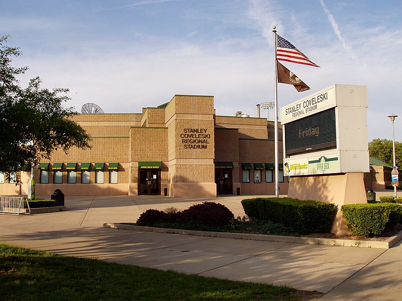
| 2,560 × 1,920 (1.09 MB) | Tysto | Coveleski Stadium in South Bend, Indiana.<br> Photo by Derek Jensen ( Tysto), 2005-May-22 {{cc-by-2.0}} |
File usage
The following pages on the English Wikipedia use this file (pages on other projects are not listed):
Global file usage
The following other wikis use this file:
- Usage on www.wikidata.org
Metadata
Size of this preview:
800 × 600 pixels. Other resolutions:
320 × 240 pixels |
640 × 480 pixels |
1,024 × 768 pixels |
1,280 × 960 pixels |
2,560 × 1,920 pixels.
Original file (2,560 × 1,920 pixels, file size: 1.09 MB, MIME type: image/jpeg)
| This is a file from the
Wikimedia Commons. Information from its
description page there is shown below. Commons is a freely licensed media file repository. You can help. |
| Description | |
| Date | May 22, 2005. |
| Source | Own work |
| Author | Photo by Derek Jensen ( Tysto) |
| Permission ( Reusing this file) |
This file is licensed under the
Creative Commons
Attribution 2.0 Generic license.
|
| Camera location | | View this and other nearby images on: OpenStreetMap |
|
|---|
File history
Click on a date/time to view the file as it appeared at that time.
| Date/Time | Thumbnail | Dimensions | User | Comment | |
|---|---|---|---|---|---|
| current | 00:07, 24 May 2005 |
| 2,560 × 1,920 (1.09 MB) | Tysto | Coveleski Stadium in South Bend, Indiana.<br> Photo by Derek Jensen ( Tysto), 2005-May-22 {{cc-by-2.0}} |
File usage
The following pages on the English Wikipedia use this file (pages on other projects are not listed):
Global file usage
The following other wikis use this file:
- Usage on www.wikidata.org