Photos • Location


Size of this preview:
800 × 594 pixels. Other resolutions:
320 × 238 pixels |
640 × 475 pixels |
1,024 × 760 pixels |
1,280 × 950 pixels |
2,080 × 1,544 pixels.
Original file (2,080 × 1,544 pixels, file size: 941 KB, MIME type: image/jpeg)
| This is a file from the
Wikimedia Commons. Information from its
description page there is shown below. Commons is a freely licensed media file repository. You can help. |
Summary
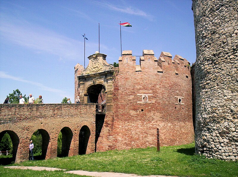
A siklósi vár (barbakán) – photo taken by uploader User:Csanády in 2006.
| Camera location |
| View this and other nearby images on: OpenStreetMap |
|
|---|
Licensing
| I, the copyright holder of this work, release this work into the
public domain. This applies worldwide. In some countries this may not be legally possible; if so: I grant anyone the right to use this work for any purpose, without any conditions, unless such conditions are required by law. |
File history
Click on a date/time to view the file as it appeared at that time.
| Date/Time | Thumbnail | Dimensions | User | Comment | |
|---|---|---|---|---|---|
| current | 19:35, 24 August 2006 |
| 2,080 × 1,544 (941 KB) | Csanády | A siklósi vár (barbakán) – photo taken by uploader User:Csanády in 2006. Category:Siklós |
File usage
The following pages on the English Wikipedia use this file (pages on other projects are not listed):
Global file usage
The following other wikis use this file:
- Usage on bg.wikipedia.org
- Usage on es.wikipedia.org
- Usage on fr.wikipedia.org
- Usage on hu.wikipedia.org
- Usage on sr.wikipedia.org
- Usage on vi.wikipedia.org
Metadata
Size of this preview:
800 × 594 pixels. Other resolutions:
320 × 238 pixels |
640 × 475 pixels |
1,024 × 760 pixels |
1,280 × 950 pixels |
2,080 × 1,544 pixels.
Original file (2,080 × 1,544 pixels, file size: 941 KB, MIME type: image/jpeg)
| This is a file from the
Wikimedia Commons. Information from its
description page there is shown below. Commons is a freely licensed media file repository. You can help. |
Summary
A siklósi vár (barbakán) – photo taken by uploader User:Csanády in 2006.
| Camera location |
| View this and other nearby images on: OpenStreetMap |
|
|---|
Licensing
| I, the copyright holder of this work, release this work into the
public domain. This applies worldwide. In some countries this may not be legally possible; if so: I grant anyone the right to use this work for any purpose, without any conditions, unless such conditions are required by law. |
File history
Click on a date/time to view the file as it appeared at that time.
| Date/Time | Thumbnail | Dimensions | User | Comment | |
|---|---|---|---|---|---|
| current | 19:35, 24 August 2006 |
| 2,080 × 1,544 (941 KB) | Csanády | A siklósi vár (barbakán) – photo taken by uploader User:Csanády in 2006. Category:Siklós |
File usage
The following pages on the English Wikipedia use this file (pages on other projects are not listed):
Global file usage
The following other wikis use this file:
- Usage on bg.wikipedia.org
- Usage on es.wikipedia.org
- Usage on fr.wikipedia.org
- Usage on hu.wikipedia.org
- Usage on sr.wikipedia.org
- Usage on vi.wikipedia.org