Size of this preview:
757 × 600 pixels. Other resolutions:
303 × 240 pixels |
606 × 480 pixels |
970 × 768 pixels |
1,192 × 944 pixels.
Original file (1,192 × 944 pixels, file size: 186 KB, MIME type: image/png)
| This is a file from the
Wikimedia Commons. Information from its
description page there is shown below. Commons is a freely licensed media file repository. You can help. |
Summary
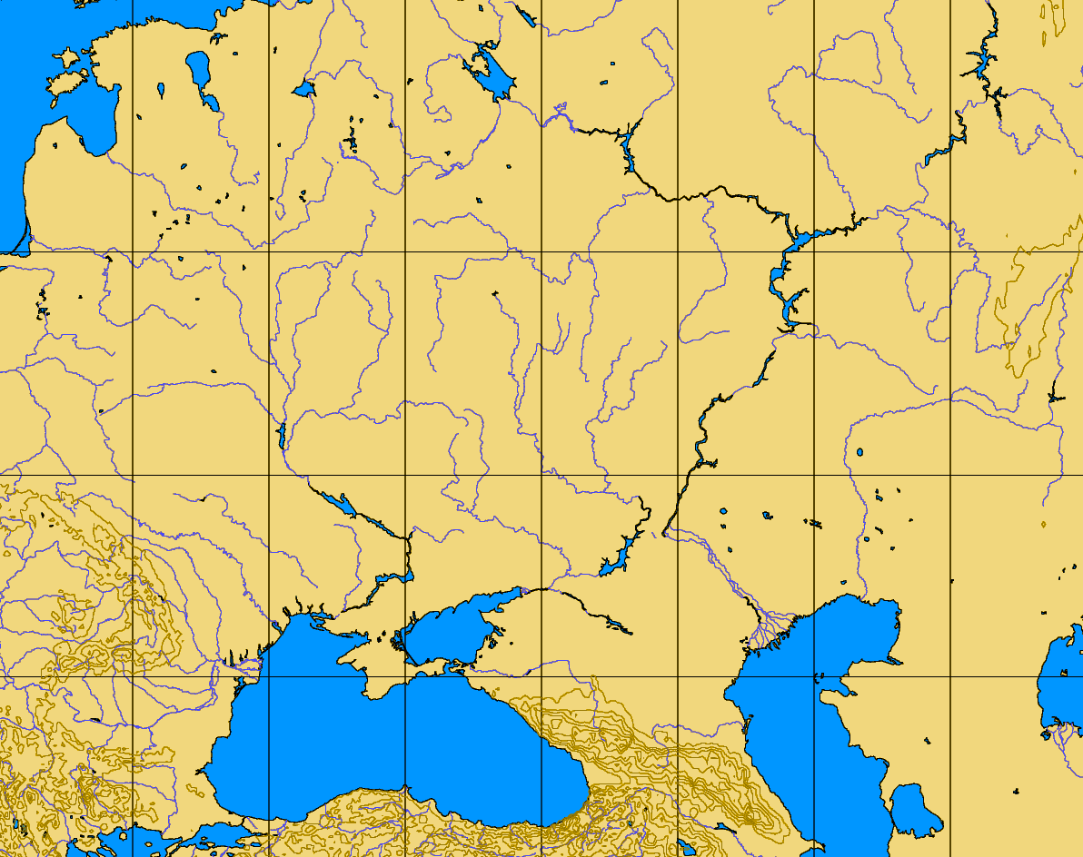
| Description | blank map of the Pontic-Caspian steppes, 40-60 N, 20-60 E |
| Source | http://www.aquarius.geomar.de/omc/make_map.html |
| Author |
Licensing
| This image is from
Planiglobe. All maps hosted on Planiglobe are licensed under the
Creative Commons
Attribution 2.5 License, but Planiglobe suggests that they not be used for navigational purposes. For the purposes of this license, this clause is considered a disclaimer and not a license restriction. This file is licensed under the
Creative Commons
Attribution 2.5 Generic license.
|
File history
Click on a date/time to view the file as it appeared at that time.
| Date/Time | Thumbnail | Dimensions | User | Comment | |
|---|---|---|---|---|---|
| current | 07:35, 11 August 2005 |
| 1,192 × 944 (186 KB) | Dbachmann | blank map of the Pontic-Caspian steppes, 40-60 N, 20-60 E http://www.aquarius.geomar.de/omc/make_map.html {{PD}} |
File usage
The following pages on the English Wikipedia use this file (pages on other projects are not listed):
Size of this preview:
757 × 600 pixels. Other resolutions:
303 × 240 pixels |
606 × 480 pixels |
970 × 768 pixels |
1,192 × 944 pixels.
Original file (1,192 × 944 pixels, file size: 186 KB, MIME type: image/png)
| This is a file from the
Wikimedia Commons. Information from its
description page there is shown below. Commons is a freely licensed media file repository. You can help. |
Summary
| Description | blank map of the Pontic-Caspian steppes, 40-60 N, 20-60 E |
| Source | http://www.aquarius.geomar.de/omc/make_map.html |
| Author |
Licensing
| This image is from
Planiglobe. All maps hosted on Planiglobe are licensed under the
Creative Commons
Attribution 2.5 License, but Planiglobe suggests that they not be used for navigational purposes. For the purposes of this license, this clause is considered a disclaimer and not a license restriction. This file is licensed under the
Creative Commons
Attribution 2.5 Generic license.
|
File history
Click on a date/time to view the file as it appeared at that time.
| Date/Time | Thumbnail | Dimensions | User | Comment | |
|---|---|---|---|---|---|
| current | 07:35, 11 August 2005 |
| 1,192 × 944 (186 KB) | Dbachmann | blank map of the Pontic-Caspian steppes, 40-60 N, 20-60 E http://www.aquarius.geomar.de/omc/make_map.html {{PD}} |
File usage
The following pages on the English Wikipedia use this file (pages on other projects are not listed):