
Size of this preview:
800 × 263 pixels. Other resolutions:
320 × 105 pixels |
640 × 210 pixels |
1,024 × 336 pixels |
3,000 × 985 pixels.
Original file (3,000 × 985 pixels, file size: 1.16 MB, MIME type: image/jpeg)
| This is a file from the
Wikimedia Commons. Information from its
description page there is shown below. Commons is a freely licensed media file repository. You can help. |
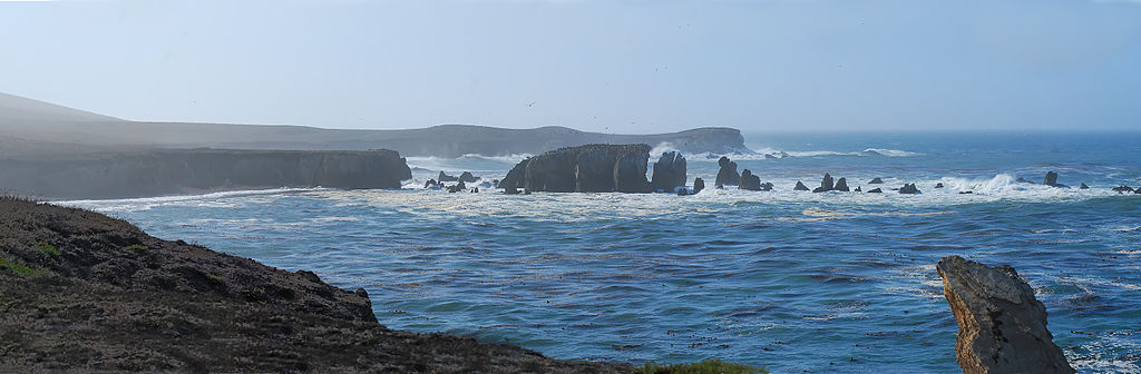
| Description | Point Buchon Trail panorama — view from the public access trail on PG&E land, at the southern end of Montana de Oro State Park, in San Luis Obispo County, California. |
| Date | |
| Source | Buchon Trail Panorama |
| Author | Anita Ritenour from Santa Maria, CA, USA |
Licensing
This file is licensed under the
Creative Commons
Attribution 2.0 Generic license.
- You are free:
- to share – to copy, distribute and transmit the work
- to remix – to adapt the work
- Under the following conditions:
- attribution – You must give appropriate credit, provide a link to the license, and indicate if changes were made. You may do so in any reasonable manner, but not in any way that suggests the licensor endorses you or your use.
| This image was originally posted to Flickr by puliarf at https://www.flickr.com/photos/11418908@N07/2930424330. It was reviewed on 4 December 2008 by FlickreviewR and was confirmed to be licensed under the terms of the cc-by-2.0. |
File history
Click on a date/time to view the file as it appeared at that time.
| Date/Time | Thumbnail | Dimensions | User | Comment | |
|---|---|---|---|---|---|
| current | 00:28, 4 December 2008 |
| 3,000 × 985 (1.16 MB) | Chin tin tin | {{Information |Description= Point Buchon Trail, Montana de Oro State Park |Source=[http://www.flickr.com/photos/11418908@N07/2930424330/ Buchon Trail Panorama] |Date=October 09, 2008 at 11:10 |Author=[http://www.flickr.com/people/11418908@N07 Anita Riteno |
File usage
The following pages on the English Wikipedia use this file (pages on other projects are not listed):
Metadata
Size of this preview:
800 × 263 pixels. Other resolutions:
320 × 105 pixels |
640 × 210 pixels |
1,024 × 336 pixels |
3,000 × 985 pixels.
Original file (3,000 × 985 pixels, file size: 1.16 MB, MIME type: image/jpeg)
| This is a file from the
Wikimedia Commons. Information from its
description page there is shown below. Commons is a freely licensed media file repository. You can help. |
| Description | Point Buchon Trail panorama — view from the public access trail on PG&E land, at the southern end of Montana de Oro State Park, in San Luis Obispo County, California. |
| Date | |
| Source | Buchon Trail Panorama |
| Author | Anita Ritenour from Santa Maria, CA, USA |
Licensing
This file is licensed under the
Creative Commons
Attribution 2.0 Generic license.
- You are free:
- to share – to copy, distribute and transmit the work
- to remix – to adapt the work
- Under the following conditions:
- attribution – You must give appropriate credit, provide a link to the license, and indicate if changes were made. You may do so in any reasonable manner, but not in any way that suggests the licensor endorses you or your use.
| This image was originally posted to Flickr by puliarf at https://www.flickr.com/photos/11418908@N07/2930424330. It was reviewed on 4 December 2008 by FlickreviewR and was confirmed to be licensed under the terms of the cc-by-2.0. |
File history
Click on a date/time to view the file as it appeared at that time.
| Date/Time | Thumbnail | Dimensions | User | Comment | |
|---|---|---|---|---|---|
| current | 00:28, 4 December 2008 |
| 3,000 × 985 (1.16 MB) | Chin tin tin | {{Information |Description= Point Buchon Trail, Montana de Oro State Park |Source=[http://www.flickr.com/photos/11418908@N07/2930424330/ Buchon Trail Panorama] |Date=October 09, 2008 at 11:10 |Author=[http://www.flickr.com/people/11418908@N07 Anita Riteno |
File usage
The following pages on the English Wikipedia use this file (pages on other projects are not listed):