Original file (2,216 × 1,634 pixels, file size: 1.8 MB, MIME type: image/jpeg)
| This is a file from the
Wikimedia Commons. Information from its
description page there is shown below. Commons is a freely licensed media file repository. You can help. |
| Date | 1852 | ||||
| Accession number |
British Library HMNTS 10255.k.8. |
||||
| Source/Photographer |
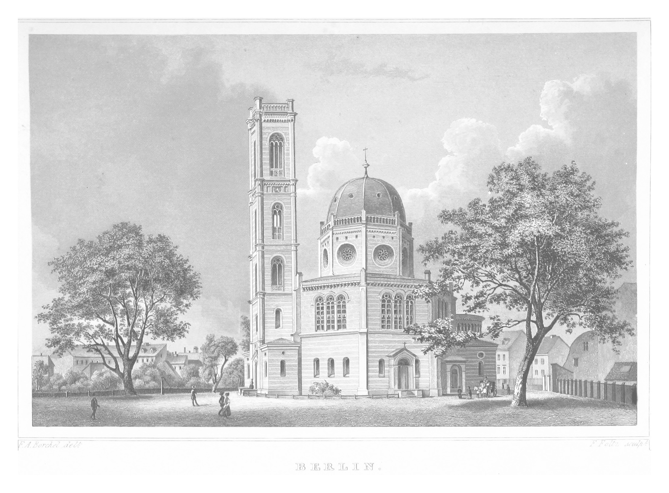
Image extracted from page 737 of volume 2 of Das Königreich Preussen in malerischen Original-Ansichten seiner interessantesten Gegenden, merkwürdigsten Städte ... und sonstigen ausgezeichneten Baudenkmaler alter und neuer Zeit. ..., by POPPEL, Johann Gabriel Friedrich. Original held and digitised by the British Library. Copied from Flickr. Note: The colours, contrast and appearance of these illustrations are unlikely to be true to life. They are derived from scanned images that have been enhanced for machine interpretation and have been altered from their originals.
|
||||
| Permission ( Reusing this file) |
|
||||

_p2.737_BERLIN.jpg)
| Object location |
| View this and other nearby images on: OpenStreetMap |
|
|---|
_p2.737_BERLIN.jpg¶ms=052.519720_N_0013.426910_E_globe:Earth_class:object_type:object__&language=en)
File history
Click on a date/time to view the file as it appeared at that time.
| Date/Time | Thumbnail | Dimensions | User | Comment | |
|---|---|---|---|---|---|
| current | 14:32, 31 October 2014 |
| 2,216 × 1,634 (1.8 MB) | Metilsteiner | User created page with UploadWizard |
File usage
Global file usage
The following other wikis use this file:
- Usage on de.wikipedia.org
- Usage on www.wikidata.org
_p2.737_BERLIN.jpg)
Original file (2,216 × 1,634 pixels, file size: 1.8 MB, MIME type: image/jpeg)
| This is a file from the
Wikimedia Commons. Information from its
description page there is shown below. Commons is a freely licensed media file repository. You can help. |
| Date | 1852 | ||||
| Accession number |
British Library HMNTS 10255.k.8. |
||||
| Source/Photographer |
Image extracted from page 737 of volume 2 of Das Königreich Preussen in malerischen Original-Ansichten seiner interessantesten Gegenden, merkwürdigsten Städte ... und sonstigen ausgezeichneten Baudenkmaler alter und neuer Zeit. ..., by POPPEL, Johann Gabriel Friedrich. Original held and digitised by the British Library. Copied from Flickr. Note: The colours, contrast and appearance of these illustrations are unlikely to be true to life. They are derived from scanned images that have been enhanced for machine interpretation and have been altered from their originals.
|
||||
| Permission ( Reusing this file) |
|
||||
| Object location |
| View this and other nearby images on: OpenStreetMap |
|
|---|
File history
Click on a date/time to view the file as it appeared at that time.
| Date/Time | Thumbnail | Dimensions | User | Comment | |
|---|---|---|---|---|---|
| current | 14:32, 31 October 2014 |
| 2,216 × 1,634 (1.8 MB) | Metilsteiner | User created page with UploadWizard |
File usage
Global file usage
The following other wikis use this file:
- Usage on de.wikipedia.org
- Usage on www.wikidata.org