Photos • Location


Size of this preview:
800 × 569 pixels. Other resolutions:
320 × 228 pixels |
640 × 455 pixels |
1,024 × 728 pixels |
1,280 × 910 pixels |
2,560 × 1,821 pixels |
3,200 × 2,276 pixels.
Original file (3,200 × 2,276 pixels, file size: 2.89 MB, MIME type: image/jpeg)
| This is a file from the
Wikimedia Commons. Information from its
description page there is shown below. Commons is a freely licensed media file repository. You can help. |
Summary
| Description |
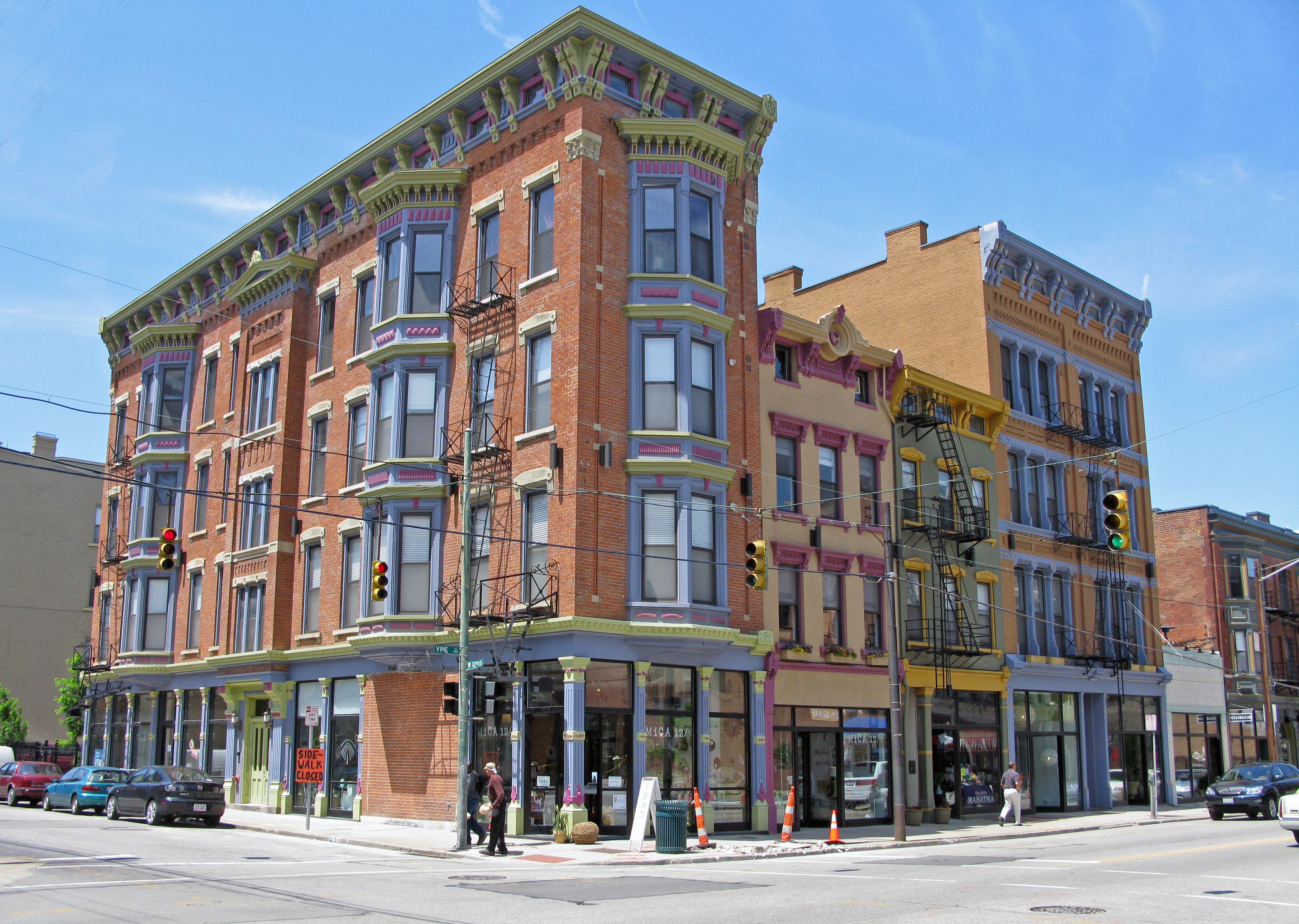
English: The Duncanson Lofts at 12th and Vine Streets in Over-the-Rhine, part of 3CDC's "Gateway Quarter." |
| Date | |
| Source | Own work |
| Author | Wholtone |
| Other versions | Derivative works of this file: Cincinnati Over-the-Rhine 12th and Vine banner.jpg |
.jpg)
| Camera location | | View this and other nearby images on: OpenStreetMap |
|
|---|
Licensing
| I, the copyright holder of this work, release this work into the
public domain. This applies worldwide. In some countries this may not be legally possible; if so: I grant anyone the right to use this work for any purpose, without any conditions, unless such conditions are required by law. |
File history
Click on a date/time to view the file as it appeared at that time.
| Date/Time | Thumbnail | Dimensions | User | Comment | |
|---|---|---|---|---|---|
| current | 23:33, 23 May 2009 |
| 3,200 × 2,276 (2.89 MB) | Wholtone | {{Information |Description={{en|1=At 12th and Vine Streets in Over-the-Rhine, sometimes called "The Gateway Quarter."}} |Source=Own work by uploader |Author= Wholtone |Date= |Permission= |other_versions= }} <!--{{ImageUpload|full}}--> [[ |
File usage
The following pages on the English Wikipedia use this file (pages on other projects are not listed):
Global file usage
The following other wikis use this file:
- Usage on ast.wikipedia.org
- Usage on en.wikivoyage.org
- Usage on es.wikipedia.org
- Usage on es.wikivoyage.org
- Usage on fr.wikipedia.org
- Usage on it.wikivoyage.org
- Usage on ja.wikipedia.org
- Usage on sr.wikipedia.org
- Usage on uz.wikipedia.org
Metadata
Size of this preview:
800 × 569 pixels. Other resolutions:
320 × 228 pixels |
640 × 455 pixels |
1,024 × 728 pixels |
1,280 × 910 pixels |
2,560 × 1,821 pixels |
3,200 × 2,276 pixels.
Original file (3,200 × 2,276 pixels, file size: 2.89 MB, MIME type: image/jpeg)
| This is a file from the
Wikimedia Commons. Information from its
description page there is shown below. Commons is a freely licensed media file repository. You can help. |
Summary
| Description |
English: The Duncanson Lofts at 12th and Vine Streets in Over-the-Rhine, part of 3CDC's "Gateway Quarter." |
| Date | |
| Source | Own work |
| Author | Wholtone |
| Other versions | Derivative works of this file: Cincinnati Over-the-Rhine 12th and Vine banner.jpg |
| Camera location | | View this and other nearby images on: OpenStreetMap |
|
|---|
Licensing
| I, the copyright holder of this work, release this work into the
public domain. This applies worldwide. In some countries this may not be legally possible; if so: I grant anyone the right to use this work for any purpose, without any conditions, unless such conditions are required by law. |
File history
Click on a date/time to view the file as it appeared at that time.
| Date/Time | Thumbnail | Dimensions | User | Comment | |
|---|---|---|---|---|---|
| current | 23:33, 23 May 2009 |
| 3,200 × 2,276 (2.89 MB) | Wholtone | {{Information |Description={{en|1=At 12th and Vine Streets in Over-the-Rhine, sometimes called "The Gateway Quarter."}} |Source=Own work by uploader |Author= Wholtone |Date= |Permission= |other_versions= }} <!--{{ImageUpload|full}}--> [[ |
File usage
The following pages on the English Wikipedia use this file (pages on other projects are not listed):
Global file usage
The following other wikis use this file:
- Usage on ast.wikipedia.org
- Usage on en.wikivoyage.org
- Usage on es.wikipedia.org
- Usage on es.wikivoyage.org
- Usage on fr.wikipedia.org
- Usage on it.wikivoyage.org
- Usage on ja.wikipedia.org
- Usage on sr.wikipedia.org
- Usage on uz.wikipedia.org