Original file (4,928 × 3,264 pixels, file size: 6.65 MB, MIME type: image/jpeg)
| This is a file from the
Wikimedia Commons. Information from its
description page there is shown below. Commons is a freely licensed media file repository. You can help. |
|
Summary
| Description |
Lietuvių: Mirties slėnis žvelgiant nuo Parnidžio kopos, Neringa
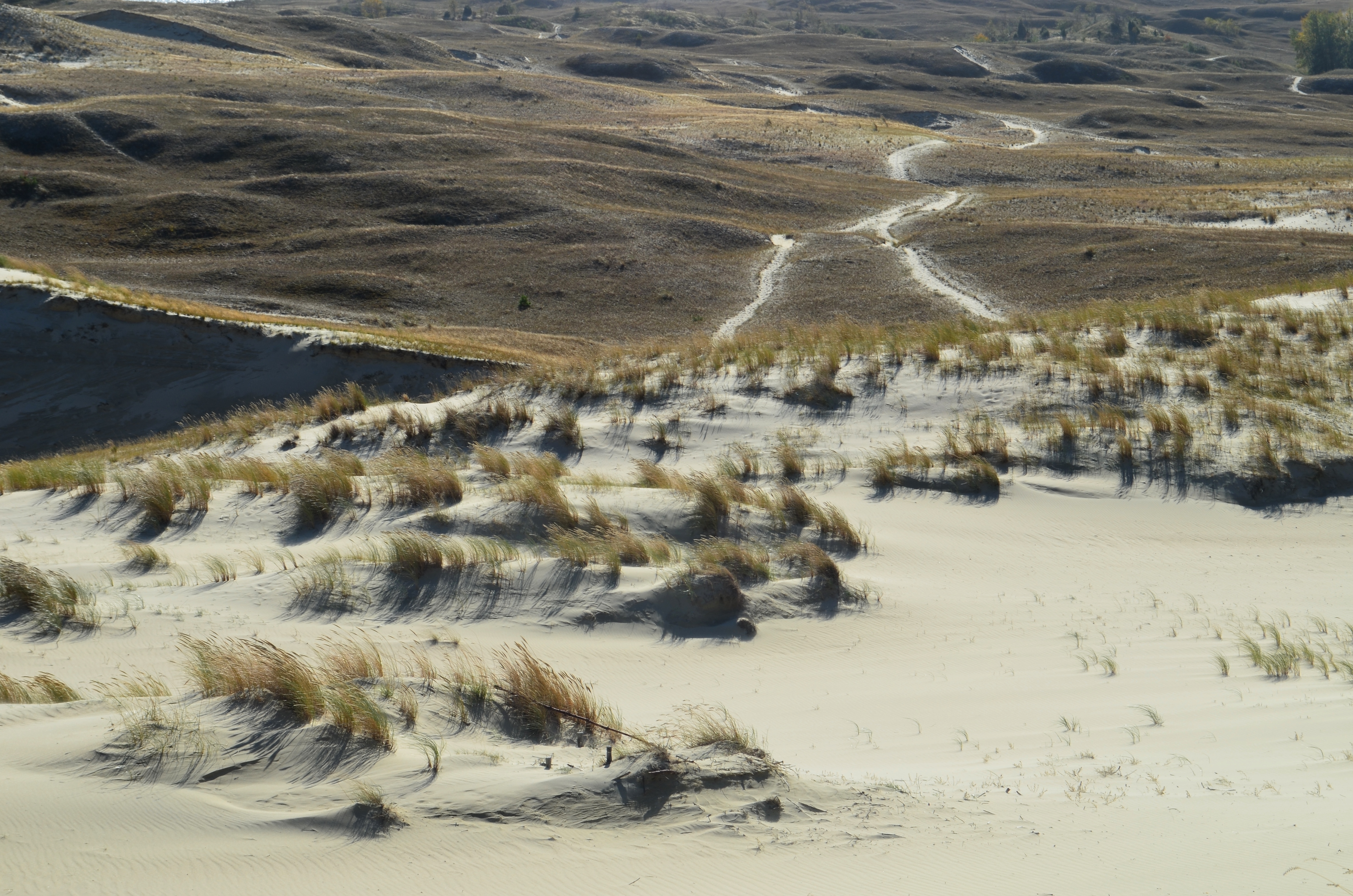
English: The Valley of Death looking from the Parnidis Dune, Neringa, Lithuania
Español: El Valle del Muerte mirando desde la Duna del Parnidis en Neringa, Lituania
Žemaitėška: Vaizds nug Parnėdė kuopas ont Smertėis slienė. Neringa
संस्कृतम्: मृत्युनिवत् दृष्टम् पर्णिदिवालुकगिरेः । नेरिङ्गा । लेतुवा ॥
Русский: Взгляд на долиной Смерти от дюны Парнидиса. Неринга, Литва. |
||
| Date | |||
| Source | Own work | ||
| Author | Hugo.arg ( talk) | ||
| Permission ( Reusing this file) |
|
| Camera location |
| View this and other nearby images on: OpenStreetMap |
|
|---|
File history
Click on a date/time to view the file as it appeared at that time.
| Date/Time | Thumbnail | Dimensions | User | Comment | |
|---|---|---|---|---|---|
| current | 15:46, 8 October 2022 |
| 4,928 × 3,264 (6.65 MB) | Hugo.arg | == {{int:filedesc}} == {{Information |Description={{lt|Mirties slėnis žvelgiant nuo Parnidžio kopos, Neringa}} |Source={{own}} |Date=2022-10-06 |Author= Hugo.arg ( <span class="signature-talk">{{int:Talkpagelinktext}}</span>) |Permission={{PD-self}} |other_versions= }} Category:Death Valley, Nida |
File usage
Global file usage
The following other wikis use this file:
- Usage on cs.wikipedia.org
- Usage on lt.wikipedia.org
Metadata
Original file (4,928 × 3,264 pixels, file size: 6.65 MB, MIME type: image/jpeg)
| This is a file from the
Wikimedia Commons. Information from its
description page there is shown below. Commons is a freely licensed media file repository. You can help. |
|
Summary
| Description |
Lietuvių: Mirties slėnis žvelgiant nuo Parnidžio kopos, Neringa
English: The Valley of Death looking from the Parnidis Dune, Neringa, Lithuania
Español: El Valle del Muerte mirando desde la Duna del Parnidis en Neringa, Lituania
Žemaitėška: Vaizds nug Parnėdė kuopas ont Smertėis slienė. Neringa
संस्कृतम्: मृत्युनिवत् दृष्टम् पर्णिदिवालुकगिरेः । नेरिङ्गा । लेतुवा ॥
Русский: Взгляд на долиной Смерти от дюны Парнидиса. Неринга, Литва. |
||
| Date | |||
| Source | Own work | ||
| Author | Hugo.arg ( talk) | ||
| Permission ( Reusing this file) |
|
| Camera location |
| View this and other nearby images on: OpenStreetMap |
|
|---|
File history
Click on a date/time to view the file as it appeared at that time.
| Date/Time | Thumbnail | Dimensions | User | Comment | |
|---|---|---|---|---|---|
| current | 15:46, 8 October 2022 |
| 4,928 × 3,264 (6.65 MB) | Hugo.arg | == {{int:filedesc}} == {{Information |Description={{lt|Mirties slėnis žvelgiant nuo Parnidžio kopos, Neringa}} |Source={{own}} |Date=2022-10-06 |Author= Hugo.arg ( <span class="signature-talk">{{int:Talkpagelinktext}}</span>) |Permission={{PD-self}} |other_versions= }} Category:Death Valley, Nida |
File usage
Global file usage
The following other wikis use this file:
- Usage on cs.wikipedia.org
- Usage on lt.wikipedia.org