Photos • Location


Size of this preview:
800 × 477 pixels. Other resolutions:
320 × 191 pixels |
640 × 382 pixels |
1,090 × 650 pixels.
Original file (1,090 × 650 pixels, file size: 148 KB, MIME type: image/jpeg)
| This is a file from the
Wikimedia Commons. Information from its
description page there is shown below. Commons is a freely licensed media file repository. You can help. |
_(2).jpg)
Summary
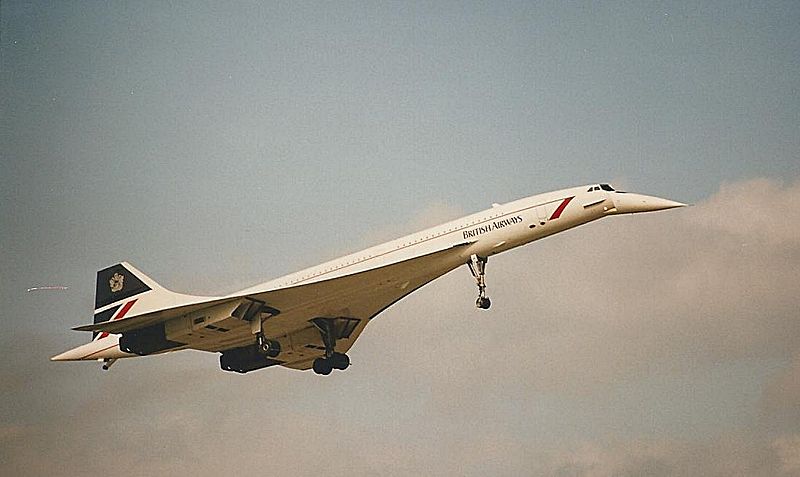
| Description | Loveley landing shot of Concorde at LBA |
| Date | |
| Source | Loveley landing shot of Concorde at LBA |
| Author | Ian Gratton from Sutton-n-Craven, North Yorkshire, England |
| Camera location |
| View this and other nearby images on: OpenStreetMap |
|
|---|
_(2).jpg¶ms=053.879249_N_-001.664428_E_globe:Earth_type:camera_source:Flickr_&language=en)
Licensing
This file is licensed under the
Creative Commons
Attribution 2.0 Generic license.
- You are free:
- to share – to copy, distribute and transmit the work
- to remix – to adapt the work
- Under the following conditions:
- attribution – You must give appropriate credit, provide a link to the license, and indicate if changes were made. You may do so in any reasonable manner, but not in any way that suggests the licensor endorses you or your use.
| This image, originally posted to Flickr, was reviewed on 9 May 2013 by the administrator or reviewer File Upload Bot (Magnus Manske), who confirmed that it was available on Flickr under the stated license on that date. |
File history
Click on a date/time to view the file as it appeared at that time.
| Date/Time | Thumbnail | Dimensions | User | Comment | |
|---|---|---|---|---|---|
| current | 19:41, 9 May 2013 |
| 1,090 × 650 (148 KB) | File Upload Bot (Magnus Manske) | Transferred from Flickr by User:russavia |
File usage
The following pages on the English Wikipedia use this file (pages on other projects are not listed):
- User:Adriazeri
- User:Adriazeri/UBM/concorde
- User:Aero11430
- User:Aviafanboi
- User:Azhar0705
- User:Beldark
- User:Byrappa
- User:Clucky192
- User:Dineshkumarreddy94
- User:DiscoA340
- User:DroViz
- User:Einsteinium108
- User:GPWScallouts
- User:Iatrogenic plateau
- User:Jasonb28
- User:JosVan
- User:Luke David O'Rourke
- User:Metroidplane26/Userboxes 2
- User:Mrkrabs420
- User:Nickrulercreator
- User:Nutcracker100
- User:OGWFP
- User:SpanCan
- User:Steelers3814
- User:SupersonicSpeedbird
- User:Tadpolefarm
- User:ThirdEchelon
- User:Tibrones
- User:Tofusaurus
- User:Tranquility2007
- User:UBX/aircraft fan
- User:Veryproicelandic
- User:Welshvoxel
- User:XanderHGX
- Wikipedia:Userboxes/Aviation/Aircraft
_(2).jpg)
Size of this preview:
800 × 477 pixels. Other resolutions:
320 × 191 pixels |
640 × 382 pixels |
1,090 × 650 pixels.
Original file (1,090 × 650 pixels, file size: 148 KB, MIME type: image/jpeg)
| This is a file from the
Wikimedia Commons. Information from its
description page there is shown below. Commons is a freely licensed media file repository. You can help. |
Summary
| Description | Loveley landing shot of Concorde at LBA |
| Date | |
| Source | Loveley landing shot of Concorde at LBA |
| Author | Ian Gratton from Sutton-n-Craven, North Yorkshire, England |
| Camera location |
| View this and other nearby images on: OpenStreetMap |
|
|---|
Licensing
This file is licensed under the
Creative Commons
Attribution 2.0 Generic license.
- You are free:
- to share – to copy, distribute and transmit the work
- to remix – to adapt the work
- Under the following conditions:
- attribution – You must give appropriate credit, provide a link to the license, and indicate if changes were made. You may do so in any reasonable manner, but not in any way that suggests the licensor endorses you or your use.
| This image, originally posted to Flickr, was reviewed on 9 May 2013 by the administrator or reviewer File Upload Bot (Magnus Manske), who confirmed that it was available on Flickr under the stated license on that date. |
File history
Click on a date/time to view the file as it appeared at that time.
| Date/Time | Thumbnail | Dimensions | User | Comment | |
|---|---|---|---|---|---|
| current | 19:41, 9 May 2013 |
| 1,090 × 650 (148 KB) | File Upload Bot (Magnus Manske) | Transferred from Flickr by User:russavia |
File usage
The following pages on the English Wikipedia use this file (pages on other projects are not listed):
- User:Adriazeri
- User:Adriazeri/UBM/concorde
- User:Aero11430
- User:Aviafanboi
- User:Azhar0705
- User:Beldark
- User:Byrappa
- User:Clucky192
- User:Dineshkumarreddy94
- User:DiscoA340
- User:DroViz
- User:Einsteinium108
- User:GPWScallouts
- User:Iatrogenic plateau
- User:Jasonb28
- User:JosVan
- User:Luke David O'Rourke
- User:Metroidplane26/Userboxes 2
- User:Mrkrabs420
- User:Nickrulercreator
- User:Nutcracker100
- User:OGWFP
- User:SpanCan
- User:Steelers3814
- User:SupersonicSpeedbird
- User:Tadpolefarm
- User:ThirdEchelon
- User:Tibrones
- User:Tofusaurus
- User:Tranquility2007
- User:UBX/aircraft fan
- User:Veryproicelandic
- User:Welshvoxel
- User:XanderHGX
- Wikipedia:Userboxes/Aviation/Aircraft