Photos • Location


Size of this preview:
800 × 600 pixels. Other resolutions:
320 × 240 pixels |
640 × 480 pixels |
1,024 × 768 pixels |
1,280 × 960 pixels |
2,560 × 1,920 pixels |
2,816 × 2,112 pixels.
Original file (2,816 × 2,112 pixels, file size: 1.25 MB, MIME type: image/jpeg)
| This is a file from the
Wikimedia Commons. Information from its
description page there is shown below. Commons is a freely licensed media file repository. You can help. |
| Camera location |
| View this and other nearby images on: OpenStreetMap |
|
|---|
| Description | |||
| Date | Taken on 15 March 2009 | ||
| Source | Own work | ||
| Author | Nyttend | ||
| Permission ( Reusing this file) |
|
File history
Click on a date/time to view the file as it appeared at that time.
| Date/Time | Thumbnail | Dimensions | User | Comment | |
|---|---|---|---|---|---|
| current | 00:31, 6 April 2009 |
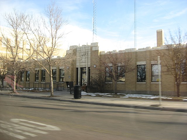
| 2,816 × 2,112 (1.25 MB) | Nyttend | {{Location|41|18|42.84|N|105|35|31.596|W}} {{Information |Description={{en|City Hall in {{w|Laramie, Wyoming|Laramie}}, {{w|Wyoming}}, {{w|United States}}, located at 406 Ivinson Street.}} |Source=Own work |Date=15 March 2009 |Author={{w|User:Nyttend|Nytt |
File usage
The following pages on the English Wikipedia use this file (pages on other projects are not listed):
Global file usage
The following other wikis use this file:
- Usage on ja.wikipedia.org
- Usage on ro.wikipedia.org
- Usage on uk.wikipedia.org
Metadata
Size of this preview:
800 × 600 pixels. Other resolutions:
320 × 240 pixels |
640 × 480 pixels |
1,024 × 768 pixels |
1,280 × 960 pixels |
2,560 × 1,920 pixels |
2,816 × 2,112 pixels.
Original file (2,816 × 2,112 pixels, file size: 1.25 MB, MIME type: image/jpeg)
| This is a file from the
Wikimedia Commons. Information from its
description page there is shown below. Commons is a freely licensed media file repository. You can help. |
| Camera location |
| View this and other nearby images on: OpenStreetMap |
|
|---|
| Description | |||
| Date | Taken on 15 March 2009 | ||
| Source | Own work | ||
| Author | Nyttend | ||
| Permission ( Reusing this file) |
|
File history
Click on a date/time to view the file as it appeared at that time.
| Date/Time | Thumbnail | Dimensions | User | Comment | |
|---|---|---|---|---|---|
| current | 00:31, 6 April 2009 |
| 2,816 × 2,112 (1.25 MB) | Nyttend | {{Location|41|18|42.84|N|105|35|31.596|W}} {{Information |Description={{en|City Hall in {{w|Laramie, Wyoming|Laramie}}, {{w|Wyoming}}, {{w|United States}}, located at 406 Ivinson Street.}} |Source=Own work |Date=15 March 2009 |Author={{w|User:Nyttend|Nytt |
File usage
The following pages on the English Wikipedia use this file (pages on other projects are not listed):
Global file usage
The following other wikis use this file:
- Usage on ja.wikipedia.org
- Usage on ro.wikipedia.org
- Usage on uk.wikipedia.org