Photos • Location


Size of this preview:
800 × 533 pixels. Other resolutions:
320 × 213 pixels |
640 × 427 pixels |
1,024 × 683 pixels |
1,280 × 853 pixels |
2,560 × 1,707 pixels |
5,184 × 3,456 pixels.
Original file (5,184 × 3,456 pixels, file size: 10.37 MB, MIME type: image/jpeg)
| This is a file from the
Wikimedia Commons. Information from its
description page there is shown below. Commons is a freely licensed media file repository. You can help. |
Summary
| Description |
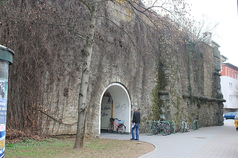
English: Fortification wall in
Klagenfurt
Deutsch: Befestigungsmauert in
Klagenfurt am Wörthersee
|
| Date | |
| Source | Own work |
| Author | Raul de Chissota |
| Permission ( Reusing this file) |
PD |
| Object location |
| View this and other nearby images on: OpenStreetMap |
|
|---|
| I, the copyright holder of this work, release this work into the
public domain. This applies worldwide. In some countries this may not be legally possible; if so: I grant anyone the right to use this work for any purpose, without any conditions, unless such conditions are required by law. |
File history
Click on a date/time to view the file as it appeared at that time.
| Date/Time | Thumbnail | Dimensions | User | Comment | |
|---|---|---|---|---|---|
| current | 12:21, 2 April 2012 |
| 5,184 × 3,456 (10.37 MB) | Raul de Chissota | == {{int:filedesc}} == {{Denkmalgeschütztes Objekt Österreich|1= 48859}} {{Information |Description={{en|1=Fortification wall in Klagenfurt}} {{de|1=Befestigungsmauert in Klagenfurt am Wörthersee}} ... |
File usage
The following pages on the English Wikipedia use this file (pages on other projects are not listed):
Global file usage
The following other wikis use this file:
Metadata
Size of this preview:
800 × 533 pixels. Other resolutions:
320 × 213 pixels |
640 × 427 pixels |
1,024 × 683 pixels |
1,280 × 853 pixels |
2,560 × 1,707 pixels |
5,184 × 3,456 pixels.
Original file (5,184 × 3,456 pixels, file size: 10.37 MB, MIME type: image/jpeg)
| This is a file from the
Wikimedia Commons. Information from its
description page there is shown below. Commons is a freely licensed media file repository. You can help. |
Summary
| Description |
English: Fortification wall in
Klagenfurt
Deutsch: Befestigungsmauert in
Klagenfurt am Wörthersee
|
| Date | |
| Source | Own work |
| Author | Raul de Chissota |
| Permission ( Reusing this file) |
PD |
| Object location |
| View this and other nearby images on: OpenStreetMap |
|
|---|
| I, the copyright holder of this work, release this work into the
public domain. This applies worldwide. In some countries this may not be legally possible; if so: I grant anyone the right to use this work for any purpose, without any conditions, unless such conditions are required by law. |
File history
Click on a date/time to view the file as it appeared at that time.
| Date/Time | Thumbnail | Dimensions | User | Comment | |
|---|---|---|---|---|---|
| current | 12:21, 2 April 2012 |
| 5,184 × 3,456 (10.37 MB) | Raul de Chissota | == {{int:filedesc}} == {{Denkmalgeschütztes Objekt Österreich|1= 48859}} {{Information |Description={{en|1=Fortification wall in Klagenfurt}} {{de|1=Befestigungsmauert in Klagenfurt am Wörthersee}} ... |
File usage
The following pages on the English Wikipedia use this file (pages on other projects are not listed):
Global file usage
The following other wikis use this file: