
Size of this PNG preview of this SVG file:
205 × 149 pixels. Other resolutions:
320 × 233 pixels |
640 × 465 pixels |
1,024 × 744 pixels |
1,280 × 930 pixels |
2,560 × 1,861 pixels.
Original file (SVG file, nominally 205 × 149 pixels, file size: 1.37 MB)
| This is a file from the
Wikimedia Commons. Information from its
description page there is shown below. Commons is a freely licensed media file repository. You can help. |
Summary
| Description |
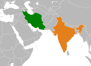
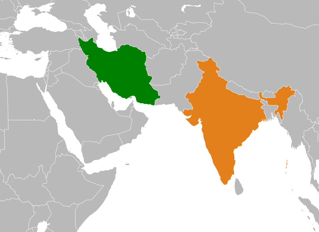
English: Map showing locations of India and Iran. Image based on File:BlankMap-World6, compact.svg |
| Date | 3 October 2011 (original upload date) |
| Source | Transferred from en.wikipedia to Commons. |
| Author | The original uploader was Bazonka at English Wikipedia. |
Licensing
This file is licensed under the
Creative Commons
Attribution-Share Alike 3.0 Unported license.
- You are free:
- to share – to copy, distribute and transmit the work
- to remix – to adapt the work
- Under the following conditions:
- attribution – You must give appropriate credit, provide a link to the license, and indicate if changes were made. You may do so in any reasonable manner, but not in any way that suggests the licensor endorses you or your use.
- share alike – If you remix, transform, or build upon the material, you must distribute your contributions under the same or compatible license as the original.
|
|
Warning! According to Indian law, it is illegal to produce maps that in the view of the Indian government, misrepresent Indian territories by showing areas the Indian government claims ownership of but does not control as not belonging to India or as being contested. |
Original upload log
The original description page was
here. All following user names refer to en.wikipedia.
| Date/Time | Dimensions | User | Comment |
|---|---|---|---|
| 2011-10-03 20:03 | 940×415× (1849822 bytes) | Bazonka | Map showing locations of India and Iran. Image based on File:BlankMap-World6, compact.svg |
File history
Click on a date/time to view the file as it appeared at that time.
| Date/Time | Thumbnail | Dimensions | User | Comment | |
|---|---|---|---|---|---|
| current | 16:31, 2 January 2022 |
| 205 × 149 (1.37 MB) | Hogweard | Regional zoom |
| 11:27, 10 April 2016 |
 | 940 × 415 (1.76 MB) | FastilyClone | Transferred from enwp |
File usage
The following pages on the English Wikipedia use this file (pages on other projects are not listed):
Global file usage
The following other wikis use this file:
- Usage on de.wikipedia.org
- Usage on he.wikipedia.org
- Usage on hi.wikipedia.org
- Usage on id.wikipedia.org
- Usage on pnb.wikipedia.org
- Usage on ur.wikipedia.org
- Usage on www.wikidata.org
Metadata
Size of this PNG preview of this SVG file:
205 × 149 pixels. Other resolutions:
320 × 233 pixels |
640 × 465 pixels |
1,024 × 744 pixels |
1,280 × 930 pixels |
2,560 × 1,861 pixels.
Original file (SVG file, nominally 205 × 149 pixels, file size: 1.37 MB)
| This is a file from the
Wikimedia Commons. Information from its
description page there is shown below. Commons is a freely licensed media file repository. You can help. |
Summary
| Description |
English: Map showing locations of India and Iran. Image based on File:BlankMap-World6, compact.svg |
| Date | 3 October 2011 (original upload date) |
| Source | Transferred from en.wikipedia to Commons. |
| Author | The original uploader was Bazonka at English Wikipedia. |
Licensing
This file is licensed under the
Creative Commons
Attribution-Share Alike 3.0 Unported license.
- You are free:
- to share – to copy, distribute and transmit the work
- to remix – to adapt the work
- Under the following conditions:
- attribution – You must give appropriate credit, provide a link to the license, and indicate if changes were made. You may do so in any reasonable manner, but not in any way that suggests the licensor endorses you or your use.
- share alike – If you remix, transform, or build upon the material, you must distribute your contributions under the same or compatible license as the original.
|
|
Warning! According to Indian law, it is illegal to produce maps that in the view of the Indian government, misrepresent Indian territories by showing areas the Indian government claims ownership of but does not control as not belonging to India or as being contested. |
Original upload log
The original description page was
here. All following user names refer to en.wikipedia.
| Date/Time | Dimensions | User | Comment |
|---|---|---|---|
| 2011-10-03 20:03 | 940×415× (1849822 bytes) | Bazonka | Map showing locations of India and Iran. Image based on File:BlankMap-World6, compact.svg |
File history
Click on a date/time to view the file as it appeared at that time.
| Date/Time | Thumbnail | Dimensions | User | Comment | |
|---|---|---|---|---|---|
| current | 16:31, 2 January 2022 |
| 205 × 149 (1.37 MB) | Hogweard | Regional zoom |
| 11:27, 10 April 2016 |
| 940 × 415 (1.76 MB) | FastilyClone | Transferred from enwp |
File usage
The following pages on the English Wikipedia use this file (pages on other projects are not listed):
Global file usage
The following other wikis use this file:
- Usage on de.wikipedia.org
- Usage on he.wikipedia.org
- Usage on hi.wikipedia.org
- Usage on id.wikipedia.org
- Usage on pnb.wikipedia.org
- Usage on ur.wikipedia.org
- Usage on www.wikidata.org