Photos • Location


Size of this preview:
800 × 544 pixels. Other resolutions:
320 × 217 pixels |
640 × 435 pixels |
1,024 × 696 pixels |
1,280 × 870 pixels |
2,560 × 1,739 pixels |
4,320 × 2,935 pixels.
Original file (4,320 × 2,935 pixels, file size: 2.1 MB, MIME type: image/jpeg)
| This is a file from the
Wikimedia Commons. Information from its
description page there is shown below. Commons is a freely licensed media file repository. You can help. |
| Description |
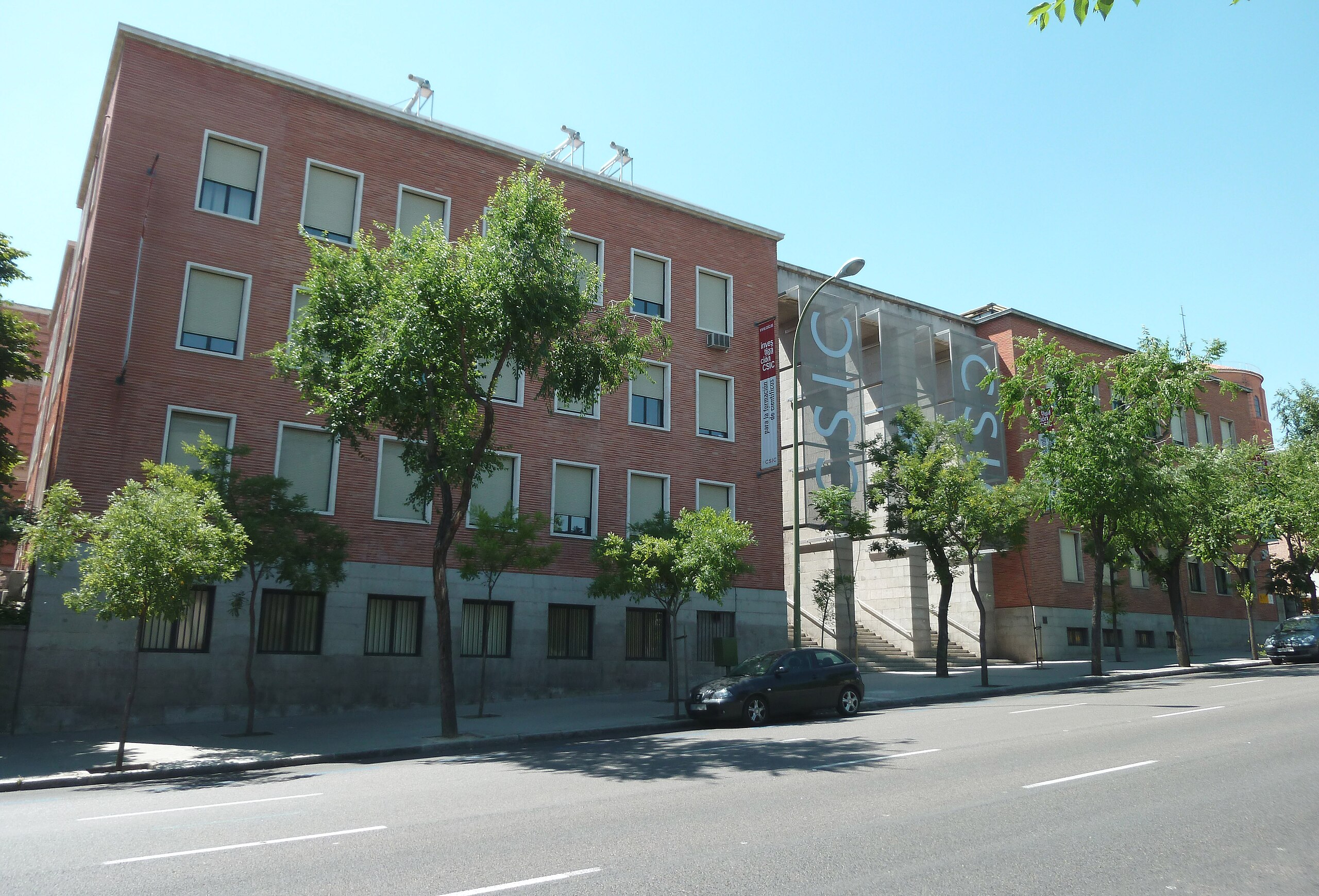
English: Façade of
CSIC's Institute of Edaphology and Vegetable Physiology, at 113
Calle de Serrano (street) in
Chamartín district in
Madrid (
Spain). Building designed in 1944 by
Miguel Fisac.
Español: Fachada del Instituto de Edafología y Fisiología Vegetal del
CSIC, en el nº 113 de la
Calle de Serrano de
Madrid (
España), en el
distrito de Chamartín. Edificio proyectado en 1944 por
Miguel Fisac. |
||
| Date | |||
| Source | Own work | ||
| Author | Luis García ( Zaqarbal) | ||
| Permission ( Reusing this file) |
I, the copyright holder of this work, hereby publish it under the following licenses:
This file is licensed under the
Creative Commons
Attribution-Share Alike 3.0 Unported license. Attribution: Luis García
You may select the license of your choice. |
||
| Other versions |
_02.jpg) |

_01.jpg)
| Object location |
| View this and other nearby images on: OpenStreetMap |
|
|---|
_01.jpg¶ms=040.441103_N_-003.686336_E_globe:Earth_class:object_type:landmark_region:ES_&language=en)
File history
Click on a date/time to view the file as it appeared at that time.
| Date/Time | Thumbnail | Dimensions | User | Comment | |
|---|---|---|---|---|---|
| current | 13:42, 12 July 2011 |
| 4,320 × 2,935 (2.1 MB) | Zaqarbal | Photo taken by Luis García ( Zaqarbal) on June 20, 2011. Hereby published under GFDL and Cc-by-sa-3.0 licenses. |
File usage
The following pages on the English Wikipedia use this file (pages on other projects are not listed):
Metadata
_01.jpg)
Size of this preview:
800 × 544 pixels. Other resolutions:
320 × 217 pixels |
640 × 435 pixels |
1,024 × 696 pixels |
1,280 × 870 pixels |
2,560 × 1,739 pixels |
4,320 × 2,935 pixels.
Original file (4,320 × 2,935 pixels, file size: 2.1 MB, MIME type: image/jpeg)
| This is a file from the
Wikimedia Commons. Information from its
description page there is shown below. Commons is a freely licensed media file repository. You can help. |
| Description |
English: Façade of
CSIC's Institute of Edaphology and Vegetable Physiology, at 113
Calle de Serrano (street) in
Chamartín district in
Madrid (
Spain). Building designed in 1944 by
Miguel Fisac.
Español: Fachada del Instituto de Edafología y Fisiología Vegetal del
CSIC, en el nº 113 de la
Calle de Serrano de
Madrid (
España), en el
distrito de Chamartín. Edificio proyectado en 1944 por
Miguel Fisac. |
||
| Date | |||
| Source | Own work | ||
| Author | Luis García ( Zaqarbal) | ||
| Permission ( Reusing this file) |
I, the copyright holder of this work, hereby publish it under the following licenses:
This file is licensed under the
Creative Commons
Attribution-Share Alike 3.0 Unported license. Attribution: Luis García
You may select the license of your choice. |
||
| Other versions |
|
| Object location |
| View this and other nearby images on: OpenStreetMap |
|
|---|
File history
Click on a date/time to view the file as it appeared at that time.
| Date/Time | Thumbnail | Dimensions | User | Comment | |
|---|---|---|---|---|---|
| current | 13:42, 12 July 2011 |
| 4,320 × 2,935 (2.1 MB) | Zaqarbal | Photo taken by Luis García ( Zaqarbal) on June 20, 2011. Hereby published under GFDL and Cc-by-sa-3.0 licenses. |
File usage
The following pages on the English Wikipedia use this file (pages on other projects are not listed):