Size of this preview:
799 × 375 pixels. Other resolutions:
320 × 150 pixels |
640 × 300 pixels |
1,024 × 481 pixels |
1,280 × 601 pixels |
2,938 × 1,379 pixels.
Original file (2,938 × 1,379 pixels, file size: 439 KB, MIME type: image/png)
| This is a file from the
Wikimedia Commons. Information from its
description page there is shown below. Commons is a freely licensed media file repository. You can help. |
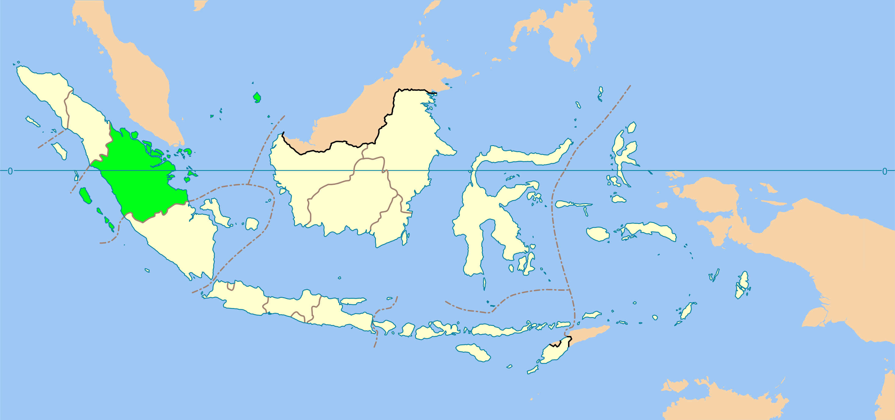
| Description | Locator map of Central Sumatra province until 1957, Indonesia |
| Date | (UTC) |
| Source | |
| Author |
|
I, the copyright holder of this work, hereby publish it under the following licenses:
| This file is licensed under the Creative Commons Attribution-Share Alike 3.0 Unported license. | ||
| ||
| This licensing tag was added to this file as part of the GFDL licensing update. |

|
Permission is granted to copy, distribute and/or modify this document under the terms of the GNU Free Documentation License, Version 1.2 or any later version published by the Free Software Foundation; with no Invariant Sections, no Front-Cover Texts, and no Back-Cover Texts. A copy of the license is included in the section entitled GNU Free Documentation License. |
You may select the license of your choice.
Original upload log
This image is a derivative work of the following images:
-
File:Indonesia_provinces_blank_map.svg licensed with Cc-by-sa-3.0-migrated, GFDL
- 2007-02-21T11:04:30Z Bwmodular 1322x620 (398286 Bytes) Added border between Bali and West Nusa Tenggara. Removed arrow from strait between Bali and Lombok.
- 2007-02-07T10:24:05Z Bwmodular 1322x620 (397362 Bytes) Same as previous version, have just tidied up provincial boundaries so they don't poke out beyond coastal boundaries.
- 2007-02-05T17:28:24Z Bwmodular 1322x620 (397362 Bytes) Identical to previous version, just tidying up some of the boundary lines so they don't spill into the ocean.
- 2007-01-20T23:03:54Z Indon 1322x620 (396953 Bytes) {{Information |Description= Indonesia provinces blank map |Source= Base map is [[:Image:Southeast asia.svg]] |Date=2007 |Author=[[:en:User:Indon]] |Permission={{GFDL self}} |other_versions= }} {{Base map|w:Wikipedia:WikiProje
Uploaded with derivativeFX
File history
Click on a date/time to view the file as it appeared at that time.
| Date/Time | Thumbnail | Dimensions | User | Comment | |
|---|---|---|---|---|---|
| current | 14:25, 19 November 2010 |
| 2,938 × 1,379 (439 KB) | Rémih | {{Information |Description=Locator map of Central Sumatra province until 1957, Indonesia |Source=* File:Indonesia_provinces_blank_map.svg |Date=2010-11-19 14:25 (UTC) |Author=* File:Indonesia_provinces_blank_map.svg: en:User:Indon *derivati |
File usage
The following pages on the English Wikipedia use this file (pages on other projects are not listed):
Global file usage
The following other wikis use this file:
- Usage on es.wikipedia.org
- Usage on fr.wikipedia.org
- Usage on id.wikipedia.org
- Usage on min.wikipedia.org
- Usage on pl.wikipedia.org
Size of this preview:
799 × 375 pixels. Other resolutions:
320 × 150 pixels |
640 × 300 pixels |
1,024 × 481 pixels |
1,280 × 601 pixels |
2,938 × 1,379 pixels.
Original file (2,938 × 1,379 pixels, file size: 439 KB, MIME type: image/png)
| This is a file from the
Wikimedia Commons. Information from its
description page there is shown below. Commons is a freely licensed media file repository. You can help. |
| Description | Locator map of Central Sumatra province until 1957, Indonesia |
| Date | (UTC) |
| Source | |
| Author |
|
I, the copyright holder of this work, hereby publish it under the following licenses:
| This file is licensed under the Creative Commons Attribution-Share Alike 3.0 Unported license. | ||
| ||
| This licensing tag was added to this file as part of the GFDL licensing update. |
|
|
Permission is granted to copy, distribute and/or modify this document under the terms of the GNU Free Documentation License, Version 1.2 or any later version published by the Free Software Foundation; with no Invariant Sections, no Front-Cover Texts, and no Back-Cover Texts. A copy of the license is included in the section entitled GNU Free Documentation License. |
You may select the license of your choice.
Original upload log
This image is a derivative work of the following images:
-
File:Indonesia_provinces_blank_map.svg licensed with Cc-by-sa-3.0-migrated, GFDL
- 2007-02-21T11:04:30Z Bwmodular 1322x620 (398286 Bytes) Added border between Bali and West Nusa Tenggara. Removed arrow from strait between Bali and Lombok.
- 2007-02-07T10:24:05Z Bwmodular 1322x620 (397362 Bytes) Same as previous version, have just tidied up provincial boundaries so they don't poke out beyond coastal boundaries.
- 2007-02-05T17:28:24Z Bwmodular 1322x620 (397362 Bytes) Identical to previous version, just tidying up some of the boundary lines so they don't spill into the ocean.
- 2007-01-20T23:03:54Z Indon 1322x620 (396953 Bytes) {{Information |Description= Indonesia provinces blank map |Source= Base map is [[:Image:Southeast asia.svg]] |Date=2007 |Author=[[:en:User:Indon]] |Permission={{GFDL self}} |other_versions= }} {{Base map|w:Wikipedia:WikiProje
Uploaded with derivativeFX
File history
Click on a date/time to view the file as it appeared at that time.
| Date/Time | Thumbnail | Dimensions | User | Comment | |
|---|---|---|---|---|---|
| current | 14:25, 19 November 2010 |
| 2,938 × 1,379 (439 KB) | Rémih | {{Information |Description=Locator map of Central Sumatra province until 1957, Indonesia |Source=* File:Indonesia_provinces_blank_map.svg |Date=2010-11-19 14:25 (UTC) |Author=* File:Indonesia_provinces_blank_map.svg: en:User:Indon *derivati |
File usage
The following pages on the English Wikipedia use this file (pages on other projects are not listed):
Global file usage
The following other wikis use this file:
- Usage on es.wikipedia.org
- Usage on fr.wikipedia.org
- Usage on id.wikipedia.org
- Usage on min.wikipedia.org
- Usage on pl.wikipedia.org