Photos • Location


Size of this preview:
800 × 480 pixels. Other resolutions:
320 × 192 pixels |
1,024 × 615 pixels |
1,280 × 768 pixels |
3,332 × 2,000 pixels.
Original file (3,332 × 2,000 pixels, file size: 2.99 MB, MIME type: image/jpeg)
| This is a file from the
Wikimedia Commons. Information from its
description page there is shown below. Commons is a freely licensed media file repository. You can help. |
Summary
| Camera location |
| View this and other nearby images on: OpenStreetMap |
|
|---|
| Description |
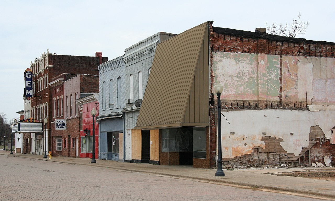
English: Historic GEM Building and surrounding block in downtown Cairo, Illinois |
||
| Date | Taken on 8 March 2011 | ||
| Source | Own work | ||
| Author | Jonathunder | ||
| Permission ( Reusing this file) |
|
Licensing

|
Permission is granted to copy, distribute and/or modify this document under the terms of the GNU Free Documentation License, Version 1.2 only as published by the Free Software Foundation; with no Invariant Sections, no Front-Cover Texts, and no Back-Cover Texts. A copy of the license is included in the section entitled GNU Free Documentation License. | 1.2 only |
File history
Click on a date/time to view the file as it appeared at that time.
| Date/Time | Thumbnail | Dimensions | User | Comment | |
|---|---|---|---|---|---|
| current | 03:55, 18 June 2011 |
| 3,332 × 2,000 (2.99 MB) | Jonathunder | {{Information |Description ={{en|1=Historic GEM Building and its block in downtown Cairo, Illinois {{GFDL-1.2}}}} |Source ={{own}} |Author = Jonathunder |Date =2011-03-08 |Permission ={{Jonathunder/Lice |
File usage
The following pages on the English Wikipedia use this file (pages on other projects are not listed):
Metadata
Size of this preview:
800 × 480 pixels. Other resolutions:
320 × 192 pixels |
1,024 × 615 pixels |
1,280 × 768 pixels |
3,332 × 2,000 pixels.
Original file (3,332 × 2,000 pixels, file size: 2.99 MB, MIME type: image/jpeg)
| This is a file from the
Wikimedia Commons. Information from its
description page there is shown below. Commons is a freely licensed media file repository. You can help. |
Summary
| Camera location |
| View this and other nearby images on: OpenStreetMap |
|
|---|
| Description |
English: Historic GEM Building and surrounding block in downtown Cairo, Illinois |
||
| Date | Taken on 8 March 2011 | ||
| Source | Own work | ||
| Author | Jonathunder | ||
| Permission ( Reusing this file) |
|
Licensing
|
|
Permission is granted to copy, distribute and/or modify this document under the terms of the GNU Free Documentation License, Version 1.2 only as published by the Free Software Foundation; with no Invariant Sections, no Front-Cover Texts, and no Back-Cover Texts. A copy of the license is included in the section entitled GNU Free Documentation License. | 1.2 only |
File history
Click on a date/time to view the file as it appeared at that time.
| Date/Time | Thumbnail | Dimensions | User | Comment | |
|---|---|---|---|---|---|
| current | 03:55, 18 June 2011 |
| 3,332 × 2,000 (2.99 MB) | Jonathunder | {{Information |Description ={{en|1=Historic GEM Building and its block in downtown Cairo, Illinois {{GFDL-1.2}}}} |Source ={{own}} |Author = Jonathunder |Date =2011-03-08 |Permission ={{Jonathunder/Lice |
File usage
The following pages on the English Wikipedia use this file (pages on other projects are not listed):