
Original file (4,872 × 3,248 pixels, file size: 12.42 MB, MIME type: image/jpeg)
| This is a file from the
Wikimedia Commons. Information from its
description page there is shown below. Commons is a freely licensed media file repository. You can help. |
.jpg)
Summary
| Description |
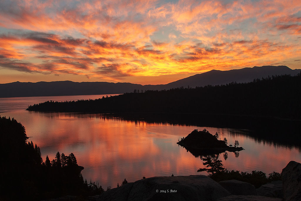
Lake Tahoe — A stunning sunrise over Emerald Bay on the western side of Lake Tahoe, California. The USGS conducts a wide range of science in Lake Tahoe including water quality monitoring, streamgaging, bathymetry, aerial LiDAR, historic use of aerial photography, and more. This wide range of consistent, reliable, long-term data and maps are crucial for evaluating and maintaining the lake and basin. USGS researchers are working to rapidly deliver the best science possible in the on-going effort to protect, preserve and restore the spectacular national treasure, Lake Tahoe. Watch the USGS video on Lake Tahoe science at bit.ly/USGSLakeTahoe Photo credit: Sue B (firago on Flickr). Thanks to Sue for sharing this photo with the USGS Science in Action Flickr Group! Share your earth science photo for a chance to be featured in upcoming USGS products and social media: www.flickr.com/groups/usgsscience |
| Date | |
| Source | Emerald Bay, Lake Tahoe |
| Author | U.S. Geological Survey from Reston, VA, USA |
Licensing
- You are free:
- to share – to copy, distribute and transmit the work
- to remix – to adapt the work
- Under the following conditions:
- attribution – You must give appropriate credit, provide a link to the license, and indicate if changes were made. You may do so in any reasonable manner, but not in any way that suggests the licensor endorses you or your use.
| This image was originally posted to Flickr by U.S. Geological Survey at https://flickr.com/photos/27784370@N05/15387213956. It was reviewed on 3 August 2015 by FlickreviewR and was confirmed to be licensed under the terms of the cc-by-2.0. |
File history
Click on a date/time to view the file as it appeared at that time.
| Date/Time | Thumbnail | Dimensions | User | Comment | |
|---|---|---|---|---|---|
| current | 19:11, 3 August 2015 |
| 4,872 × 3,248 (12.42 MB) | Wilfredor | Transferred from Flickr via Flickr2Commons |
File usage
Metadata
.jpg)
Original file (4,872 × 3,248 pixels, file size: 12.42 MB, MIME type: image/jpeg)
| This is a file from the
Wikimedia Commons. Information from its
description page there is shown below. Commons is a freely licensed media file repository. You can help. |
Summary
| Description |
Lake Tahoe — A stunning sunrise over Emerald Bay on the western side of Lake Tahoe, California. The USGS conducts a wide range of science in Lake Tahoe including water quality monitoring, streamgaging, bathymetry, aerial LiDAR, historic use of aerial photography, and more. This wide range of consistent, reliable, long-term data and maps are crucial for evaluating and maintaining the lake and basin. USGS researchers are working to rapidly deliver the best science possible in the on-going effort to protect, preserve and restore the spectacular national treasure, Lake Tahoe. Watch the USGS video on Lake Tahoe science at bit.ly/USGSLakeTahoe Photo credit: Sue B (firago on Flickr). Thanks to Sue for sharing this photo with the USGS Science in Action Flickr Group! Share your earth science photo for a chance to be featured in upcoming USGS products and social media: www.flickr.com/groups/usgsscience |
| Date | |
| Source | Emerald Bay, Lake Tahoe |
| Author | U.S. Geological Survey from Reston, VA, USA |
Licensing
- You are free:
- to share – to copy, distribute and transmit the work
- to remix – to adapt the work
- Under the following conditions:
- attribution – You must give appropriate credit, provide a link to the license, and indicate if changes were made. You may do so in any reasonable manner, but not in any way that suggests the licensor endorses you or your use.
| This image was originally posted to Flickr by U.S. Geological Survey at https://flickr.com/photos/27784370@N05/15387213956. It was reviewed on 3 August 2015 by FlickreviewR and was confirmed to be licensed under the terms of the cc-by-2.0. |
File history
Click on a date/time to view the file as it appeared at that time.
| Date/Time | Thumbnail | Dimensions | User | Comment | |
|---|---|---|---|---|---|
| current | 19:11, 3 August 2015 |
| 4,872 × 3,248 (12.42 MB) | Wilfredor | Transferred from Flickr via Flickr2Commons |