Photos • Location


Size of this preview:
800 × 600 pixels. Other resolutions:
320 × 240 pixels |
640 × 480 pixels |
1,024 × 768 pixels |
1,280 × 960 pixels |
1,600 × 1,200 pixels.
Original file (1,600 × 1,200 pixels, file size: 404 KB, MIME type: image/jpeg)
| This is a file from the
Wikimedia Commons. Information from its
description page there is shown below. Commons is a freely licensed media file repository. You can help. |
| This media shows the protected monument with the number 808-2409/0 (
other) in the Slovak Republic. |
| Description |
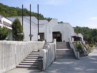
Slovenčina: Jaskyňa Domica, vstupný areál.
English: Domica Cave, entrance. |
|||
| Date | ||||
| Source | Own work | |||
| Author | Martin Hlauka (Pescan) 08:45, 6 August 2005 (UTC) | |||
| Permission ( Reusing this file) |
|

| Camera location |
| View this and other nearby images on: OpenStreetMap |
|
|---|
File history
Click on a date/time to view the file as it appeared at that time.
| Date/Time | Thumbnail | Dimensions | User | Comment | |
|---|---|---|---|---|---|
| current | 18:42, 4 October 2009 |
| 1,600 × 1,200 (404 KB) | Pescan | Highest resolution |
| 08:43, 6 August 2005 |
 | 400 × 300 (35 KB) | Pescan |
File usage
The following pages on the English Wikipedia use this file (pages on other projects are not listed):
Global file usage
The following other wikis use this file:
- Usage on cs.wikipedia.org
- Usage on da.wikipedia.org
- Usage on de.wikipedia.org
- Usage on eo.wikipedia.org
- Usage on hu.wikipedia.org
- Usage on nl.wikipedia.org
- Usage on sk.wikipedia.org
- Usage on sl.wikipedia.org
- Usage on vi.wikipedia.org
- Usage on www.wikidata.org
Metadata
Size of this preview:
800 × 600 pixels. Other resolutions:
320 × 240 pixels |
640 × 480 pixels |
1,024 × 768 pixels |
1,280 × 960 pixels |
1,600 × 1,200 pixels.
Original file (1,600 × 1,200 pixels, file size: 404 KB, MIME type: image/jpeg)
| This is a file from the
Wikimedia Commons. Information from its
description page there is shown below. Commons is a freely licensed media file repository. You can help. |
| This media shows the protected monument with the number 808-2409/0 (
other) in the Slovak Republic. |
| Description |
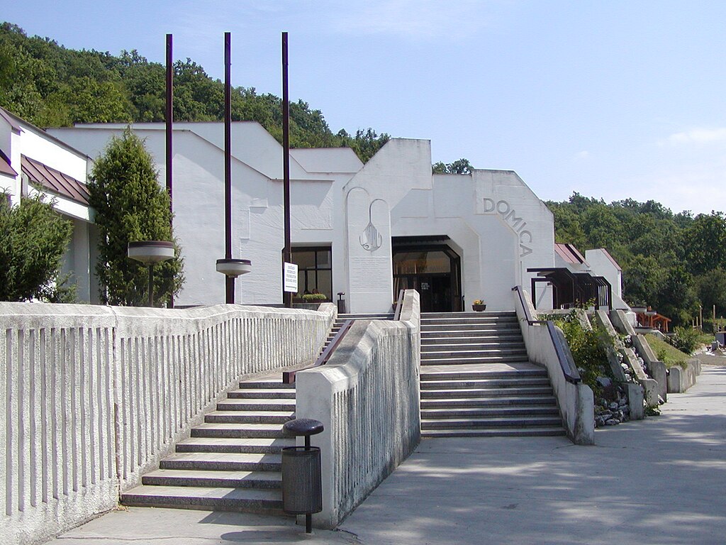
Slovenčina: Jaskyňa Domica, vstupný areál.
English: Domica Cave, entrance. |
|||
| Date | ||||
| Source | Own work | |||
| Author | Martin Hlauka (Pescan) 08:45, 6 August 2005 (UTC) | |||
| Permission ( Reusing this file) |
|
| Camera location |
| View this and other nearby images on: OpenStreetMap |
|
|---|
File history
Click on a date/time to view the file as it appeared at that time.
| Date/Time | Thumbnail | Dimensions | User | Comment | |
|---|---|---|---|---|---|
| current | 18:42, 4 October 2009 |
| 1,600 × 1,200 (404 KB) | Pescan | Highest resolution |
| 08:43, 6 August 2005 |
| 400 × 300 (35 KB) | Pescan |
File usage
The following pages on the English Wikipedia use this file (pages on other projects are not listed):
Global file usage
The following other wikis use this file:
- Usage on cs.wikipedia.org
- Usage on da.wikipedia.org
- Usage on de.wikipedia.org
- Usage on eo.wikipedia.org
- Usage on hu.wikipedia.org
- Usage on nl.wikipedia.org
- Usage on sk.wikipedia.org
- Usage on sl.wikipedia.org
- Usage on vi.wikipedia.org
- Usage on www.wikidata.org