Photos • Location


Size of this preview:
800 × 533 pixels. Other resolutions:
320 × 213 pixels |
640 × 427 pixels |
1,024 × 683 pixels |
1,280 × 853 pixels |
2,591 × 1,727 pixels.
Original file (2,591 × 1,727 pixels, file size: 1.44 MB, MIME type: image/jpeg)
| This is a file from the
Wikimedia Commons. Information from its
description page there is shown below. Commons is a freely licensed media file repository. You can help. |
Summary
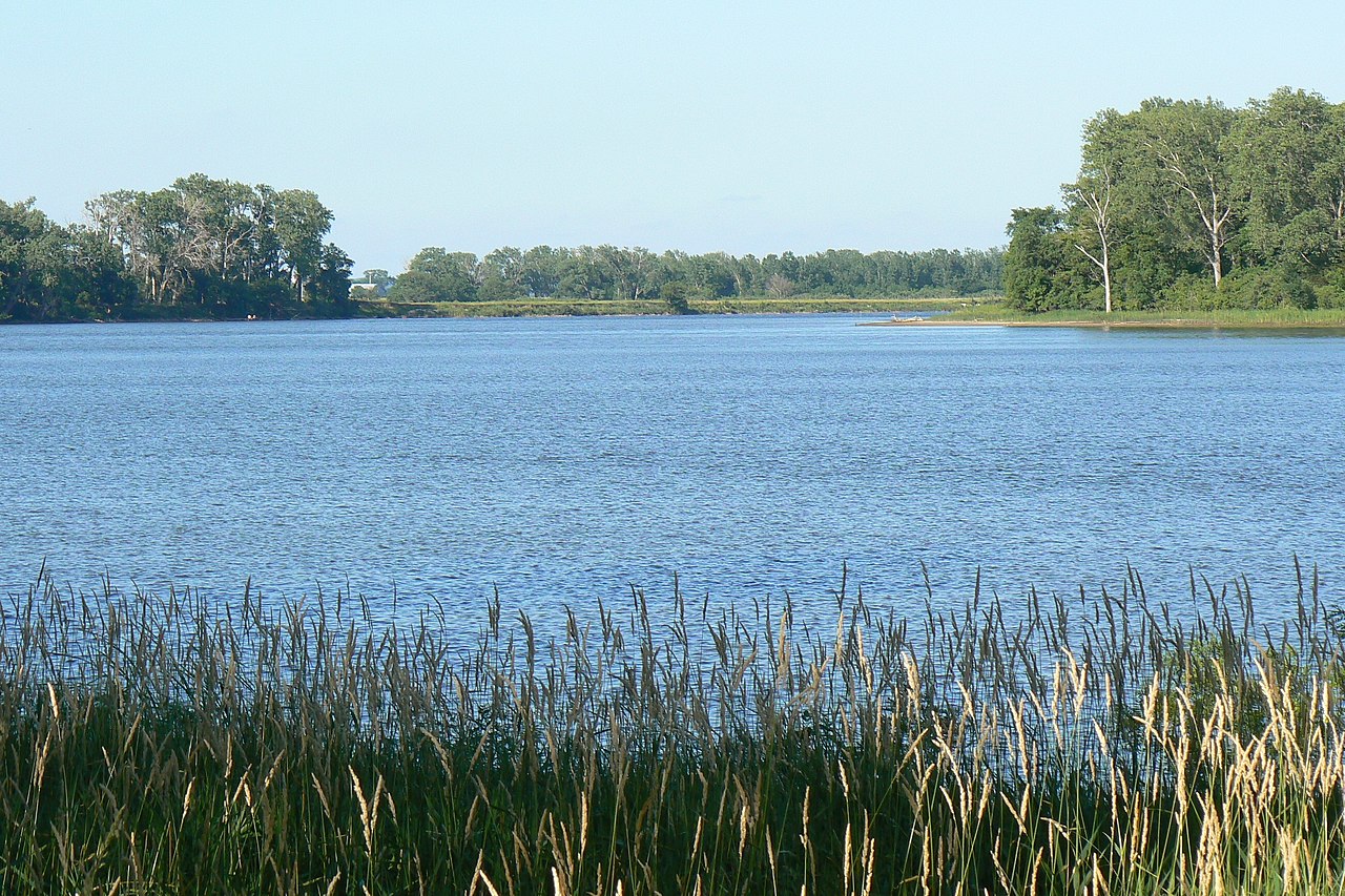
| Description | DeSoto lake at DeSoto National Wildlife Refuge |
| Date | |
| Source | I took this image on 6.24.2007 |
| Author |
| Camera location | | View this and other nearby images on: OpenStreetMap |
|
|---|
Licensing
| This work has been released into the
public domain by its author, I,
MONGO. This applies worldwide. In some countries this may not be legally possible; if so: I, MONGO grants anyone the right to use this work for any purpose, without any conditions, unless such conditions are required by law. |
File history
Click on a date/time to view the file as it appeared at that time.
| Date/Time | Thumbnail | Dimensions | User | Comment | |
|---|---|---|---|---|---|
| current | 07:41, 25 June 2007 |
| 2,591 × 1,727 (1.44 MB) | MONGO | {{Information |Description=DeSoto lake at DeSoto National Wildlife Refuge |Source= |Date=6.24.2007 |Author= }} {{Location dec|41.5402|-96.0306|type:forest_region:US_scale:5000_heading:NE}} * '''Location Datum:''' WGS84/[[:en |
File usage
The following pages on the English Wikipedia use this file (pages on other projects are not listed):
Global file usage
The following other wikis use this file:
Metadata
Size of this preview:
800 × 533 pixels. Other resolutions:
320 × 213 pixels |
640 × 427 pixels |
1,024 × 683 pixels |
1,280 × 853 pixels |
2,591 × 1,727 pixels.
Original file (2,591 × 1,727 pixels, file size: 1.44 MB, MIME type: image/jpeg)
| This is a file from the
Wikimedia Commons. Information from its
description page there is shown below. Commons is a freely licensed media file repository. You can help. |
Summary
| Description | DeSoto lake at DeSoto National Wildlife Refuge |
| Date | |
| Source | I took this image on 6.24.2007 |
| Author |
| Camera location | | View this and other nearby images on: OpenStreetMap |
|
|---|
Licensing
| This work has been released into the
public domain by its author, I,
MONGO. This applies worldwide. In some countries this may not be legally possible; if so: I, MONGO grants anyone the right to use this work for any purpose, without any conditions, unless such conditions are required by law. |
File history
Click on a date/time to view the file as it appeared at that time.
| Date/Time | Thumbnail | Dimensions | User | Comment | |
|---|---|---|---|---|---|
| current | 07:41, 25 June 2007 |
| 2,591 × 1,727 (1.44 MB) | MONGO | {{Information |Description=DeSoto lake at DeSoto National Wildlife Refuge |Source= |Date=6.24.2007 |Author= }} {{Location dec|41.5402|-96.0306|type:forest_region:US_scale:5000_heading:NE}} * '''Location Datum:''' WGS84/[[:en |
File usage
The following pages on the English Wikipedia use this file (pages on other projects are not listed):
Global file usage
The following other wikis use this file: