Photos • Location


No higher resolution available.
CvO_19.jpg (800 × 600 pixels, file size: 104 KB, MIME type: image/jpeg)
| This is a file from the
Wikimedia Commons. Information from its
description page there is shown below. Commons is a freely licensed media file repository. You can help. |
Summary
| Description |
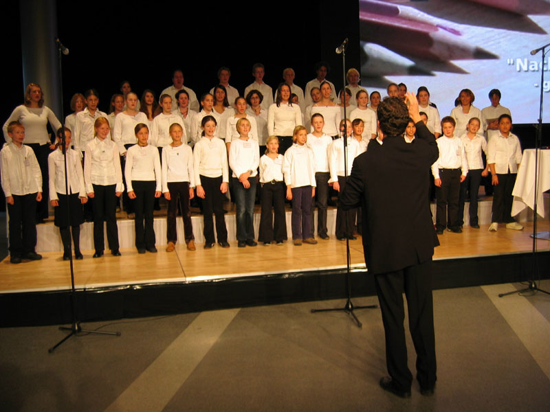
Deutsch: Auftritt des „kleinen Schulchors“ des Carl-von-Ossietzky-Gymnasiums anlässlich einer Kunstausstellung im Forum von T-Mobile Deutschland in Bonn |
| Date | 8 July 2006 (original upload date) |
| Source | No machine-readable source provided. Own work assumed (based on copyright claims). |
| Author | No machine-readable author provided. Micha2564 assumed (based on copyright claims). |
| Camera location |
| View this and other nearby images on: OpenStreetMap |
|
|---|
Licensing
| I, the copyright holder of this work, release this work into the
public domain. This applies worldwide. In some countries this may not be legally possible; if so: I grant anyone the right to use this work for any purpose, without any conditions, unless such conditions are required by law. |
File history
Click on a date/time to view the file as it appeared at that time.
| Date/Time | Thumbnail | Dimensions | User | Comment | |
|---|---|---|---|---|---|
| current | 18:04, 8 July 2006 |
| 800 × 600 (104 KB) | Micha2564 |
File usage
The following pages on the English Wikipedia use this file (pages on other projects are not listed):
Global file usage
The following other wikis use this file:
- Usage on ar.wikipedia.org
- Usage on de.wikipedia.org
- Usage on ha.wikipedia.org
- Usage on ml.wikipedia.org
- Usage on uz.wikipedia.org
Metadata
No higher resolution available.
CvO_19.jpg (800 × 600 pixels, file size: 104 KB, MIME type: image/jpeg)
| This is a file from the
Wikimedia Commons. Information from its
description page there is shown below. Commons is a freely licensed media file repository. You can help. |
Summary
| Description |
Deutsch: Auftritt des „kleinen Schulchors“ des Carl-von-Ossietzky-Gymnasiums anlässlich einer Kunstausstellung im Forum von T-Mobile Deutschland in Bonn |
| Date | 8 July 2006 (original upload date) |
| Source | No machine-readable source provided. Own work assumed (based on copyright claims). |
| Author | No machine-readable author provided. Micha2564 assumed (based on copyright claims). |
| Camera location |
| View this and other nearby images on: OpenStreetMap |
|
|---|
Licensing
| I, the copyright holder of this work, release this work into the
public domain. This applies worldwide. In some countries this may not be legally possible; if so: I grant anyone the right to use this work for any purpose, without any conditions, unless such conditions are required by law. |
File history
Click on a date/time to view the file as it appeared at that time.
| Date/Time | Thumbnail | Dimensions | User | Comment | |
|---|---|---|---|---|---|
| current | 18:04, 8 July 2006 |
| 800 × 600 (104 KB) | Micha2564 |
File usage
The following pages on the English Wikipedia use this file (pages on other projects are not listed):
Global file usage
The following other wikis use this file:
- Usage on ar.wikipedia.org
- Usage on de.wikipedia.org
- Usage on ha.wikipedia.org
- Usage on ml.wikipedia.org
- Usage on uz.wikipedia.org