Photos • Location


Size of this preview:
764 × 599 pixels. Other resolutions:
306 × 240 pixels |
612 × 480 pixels |
979 × 768 pixels |
1,280 × 1,004 pixels |
2,560 × 2,008 pixels |
2,940 × 2,306 pixels.
Original file (2,940 × 2,306 pixels, file size: 521 KB, MIME type: image/jpeg)
| This is a file from the
Wikimedia Commons. Information from its
description page there is shown below. Commons is a freely licensed media file repository. You can help. |
Summary
| Description |
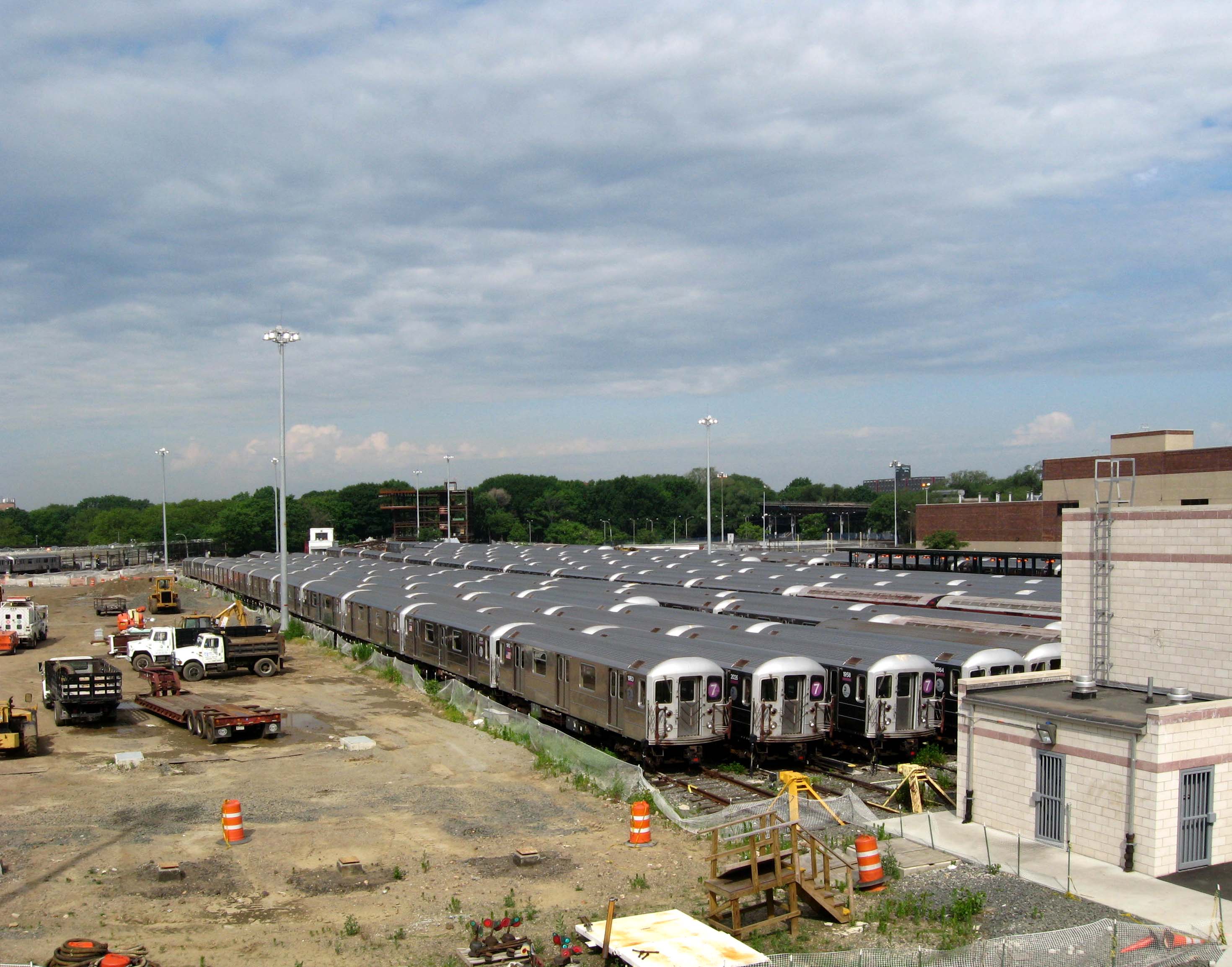
English: Looking west from ramp at
Corona Yard in sunny morning. |
| Date | Taken on 8 June 2008 |
| Source | Own work |
| Author | Jim.henderson |
| Camera location | | View this and other nearby images on: OpenStreetMap |
|
|---|
Licensing
| I, the copyright holder of this work, release this work into the
public domain. This applies worldwide. In some countries this may not be legally possible; if so: I grant anyone the right to use this work for any purpose, without any conditions, unless such conditions are required by law. |
File history
Click on a date/time to view the file as it appeared at that time.
| Date/Time | Thumbnail | Dimensions | User | Comment | |
|---|---|---|---|---|---|
| current | 04:33, 27 June 2008 |
| 2,940 × 2,306 (521 KB) | Jim.henderson | Looking west from ramp at en:Corona Yard in sunny late morning in summertime. Category: IRT Flushing Line |
File usage
The following pages on the English Wikipedia use this file (pages on other projects are not listed):
Global file usage
The following other wikis use this file:
- Usage on fr.wikipedia.org
- Usage on ja.wikipedia.org
- Usage on zh.wikipedia.org
Metadata
Size of this preview:
764 × 599 pixels. Other resolutions:
306 × 240 pixels |
612 × 480 pixels |
979 × 768 pixels |
1,280 × 1,004 pixels |
2,560 × 2,008 pixels |
2,940 × 2,306 pixels.
Original file (2,940 × 2,306 pixels, file size: 521 KB, MIME type: image/jpeg)
| This is a file from the
Wikimedia Commons. Information from its
description page there is shown below. Commons is a freely licensed media file repository. You can help. |
Summary
| Description |
English: Looking west from ramp at
Corona Yard in sunny morning. |
| Date | Taken on 8 June 2008 |
| Source | Own work |
| Author | Jim.henderson |
| Camera location | | View this and other nearby images on: OpenStreetMap |
|
|---|
Licensing
| I, the copyright holder of this work, release this work into the
public domain. This applies worldwide. In some countries this may not be legally possible; if so: I grant anyone the right to use this work for any purpose, without any conditions, unless such conditions are required by law. |
File history
Click on a date/time to view the file as it appeared at that time.
| Date/Time | Thumbnail | Dimensions | User | Comment | |
|---|---|---|---|---|---|
| current | 04:33, 27 June 2008 |
| 2,940 × 2,306 (521 KB) | Jim.henderson | Looking west from ramp at en:Corona Yard in sunny late morning in summertime. Category: IRT Flushing Line |
File usage
The following pages on the English Wikipedia use this file (pages on other projects are not listed):
Global file usage
The following other wikis use this file:
- Usage on fr.wikipedia.org
- Usage on ja.wikipedia.org
- Usage on zh.wikipedia.org