Size of this preview:
800 × 507 pixels. Other resolutions:
320 × 203 pixels |
640 × 405 pixels |
1,024 × 648 pixels |
1,280 × 810 pixels |
2,560 × 1,621 pixels |
5,487 × 3,474 pixels.
Original file (5,487 × 3,474 pixels, file size: 8.7 MB, MIME type: image/jpeg)
| This is a file from the
Wikimedia Commons. Information from its
description page there is shown below. Commons is a freely licensed media file repository. You can help. |
Summary
| Description |
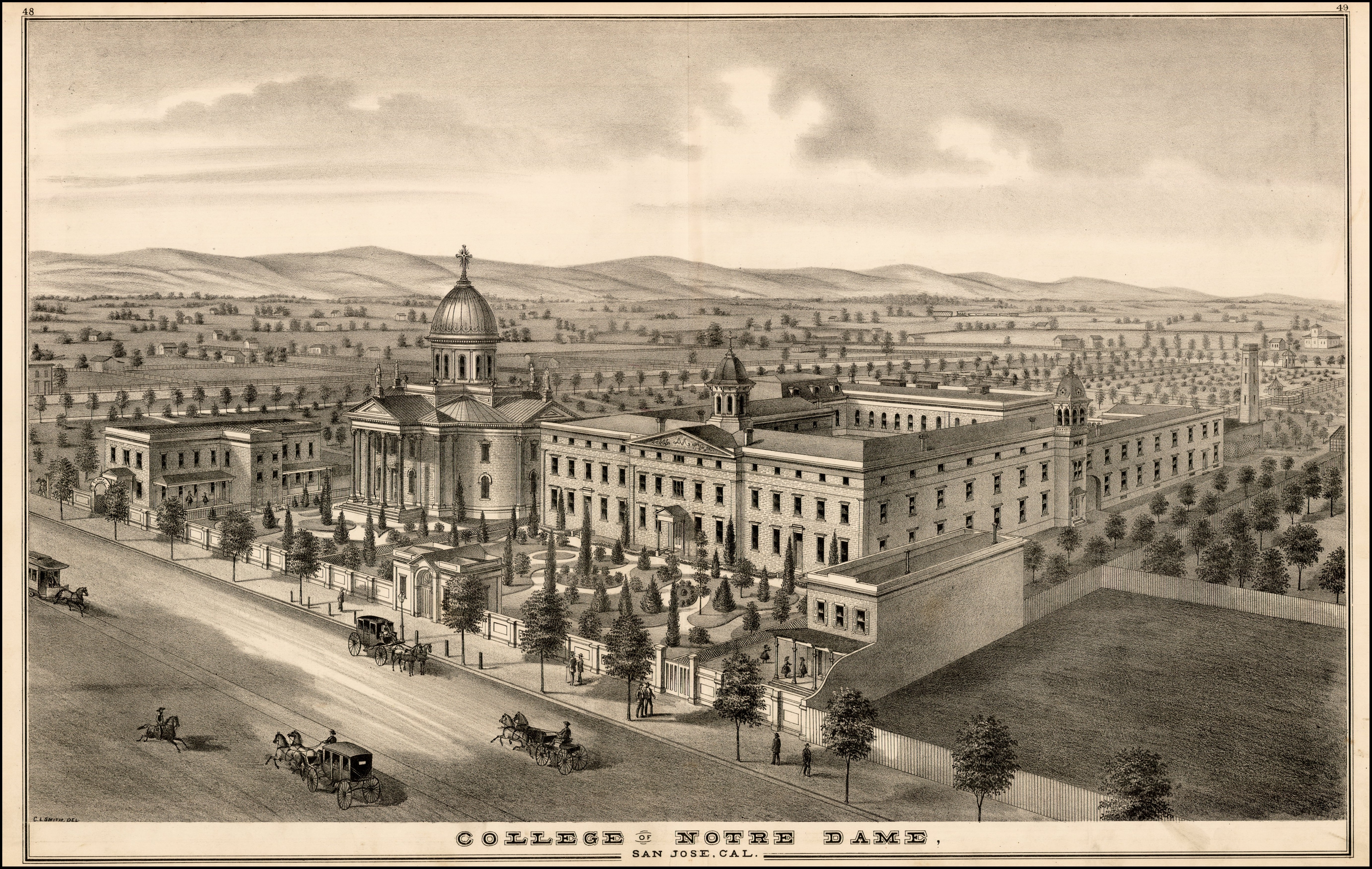
English: Birdseye view of the original location of Notre Dame de Namur University (originally called the College of Notre Dame), from Thomson & West's Historical atlas map of Santa Clara County, California. Compiled, drawn and published from personal examinations and surveys by Thompson & West, San Francisco. Made in 1876. |
| Date | |
| Source | BLR Antique Maps - https://www.raremaps.com/gallery/detail/28528/college-of-notre-dame-san-jose-cal-thompson-west |
| Author | Thompson & West, San Francisco. |
Licensing
|
This work is in the public domain in its country of origin and other countries and areas where the copyright term is the author's life plus 100 years or fewer. | |
| This file has been identified as being free of known restrictions under copyright law, including all related and neighboring rights. | |
File history
Click on a date/time to view the file as it appeared at that time.
| Date/Time | Thumbnail | Dimensions | User | Comment | |
|---|---|---|---|---|---|
| current | 22:14, 10 March 2024 |
| 5,487 × 3,474 (8.7 MB) | Artanisen | Uploaded a work by Thompson & West, San Francisco. from BLR Antique Maps - https://www.raremaps.com/gallery/detail/28528/college-of-notre-dame-san-jose-cal-thompson-west with UploadWizard |
File usage
The following pages on the English Wikipedia use this file (pages on other projects are not listed):
Global file usage
The following other wikis use this file:
- Usage on es.wikipedia.org
- Usage on ne.wikipedia.org
- Usage on www.wikidata.org
Size of this preview:
800 × 507 pixels. Other resolutions:
320 × 203 pixels |
640 × 405 pixels |
1,024 × 648 pixels |
1,280 × 810 pixels |
2,560 × 1,621 pixels |
5,487 × 3,474 pixels.
Original file (5,487 × 3,474 pixels, file size: 8.7 MB, MIME type: image/jpeg)
| This is a file from the
Wikimedia Commons. Information from its
description page there is shown below. Commons is a freely licensed media file repository. You can help. |
Summary
| Description |
English: Birdseye view of the original location of Notre Dame de Namur University (originally called the College of Notre Dame), from Thomson & West's Historical atlas map of Santa Clara County, California. Compiled, drawn and published from personal examinations and surveys by Thompson & West, San Francisco. Made in 1876. |
| Date | |
| Source | BLR Antique Maps - https://www.raremaps.com/gallery/detail/28528/college-of-notre-dame-san-jose-cal-thompson-west |
| Author | Thompson & West, San Francisco. |
Licensing
|
This work is in the public domain in its country of origin and other countries and areas where the copyright term is the author's life plus 100 years or fewer. | |
| This file has been identified as being free of known restrictions under copyright law, including all related and neighboring rights. | |
File history
Click on a date/time to view the file as it appeared at that time.
| Date/Time | Thumbnail | Dimensions | User | Comment | |
|---|---|---|---|---|---|
| current | 22:14, 10 March 2024 |
| 5,487 × 3,474 (8.7 MB) | Artanisen | Uploaded a work by Thompson & West, San Francisco. from BLR Antique Maps - https://www.raremaps.com/gallery/detail/28528/college-of-notre-dame-san-jose-cal-thompson-west with UploadWizard |
File usage
The following pages on the English Wikipedia use this file (pages on other projects are not listed):
Global file usage
The following other wikis use this file:
- Usage on es.wikipedia.org
- Usage on ne.wikipedia.org
- Usage on www.wikidata.org