Photos • Location


Size of this preview:
800 × 600 pixels. Other resolutions:
320 × 240 pixels |
640 × 480 pixels |
816 × 612 pixels.
Original file (816 × 612 pixels, file size: 265 KB, MIME type: image/jpeg)
| This is a file from the
Wikimedia Commons. Information from its
description page there is shown below. Commons is a freely licensed media file repository. You can help. |
Summary
| Description |
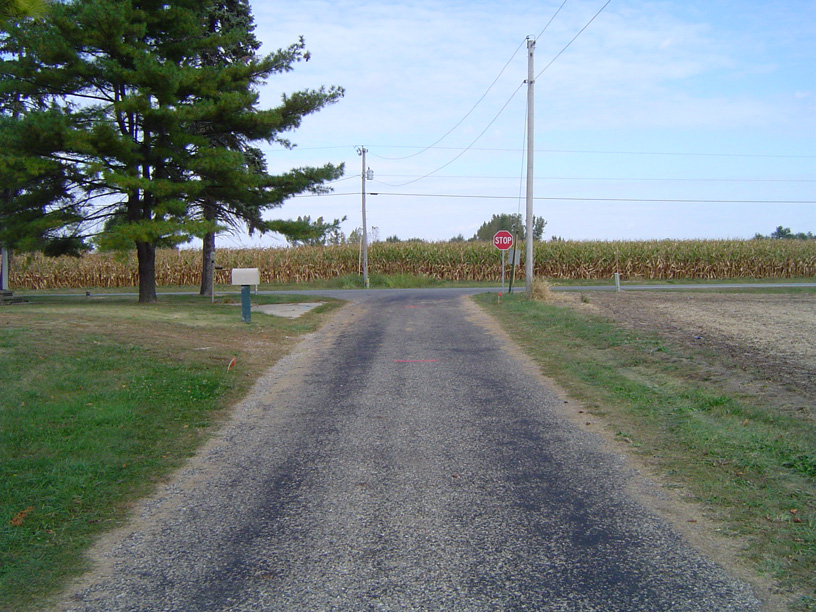
English: Example of a chip 'n' seal paved road |
| Date | |
| Source | Own work |
| Author | Bengrimm99 |
| Camera location |
| View this and other nearby images on: OpenStreetMap |
|
|---|
Licensing
| I, the copyright holder of this work, release this work into the
public domain. This applies worldwide. In some countries this may not be legally possible; if so: I grant anyone the right to use this work for any purpose, without any conditions, unless such conditions are required by law. |
File history
Click on a date/time to view the file as it appeared at that time.
| Date/Time | Thumbnail | Dimensions | User | Comment | |
|---|---|---|---|---|---|
| current | 18:18, 9 October 2008 |
| 816 × 612 (265 KB) | Bengrimm99 | {{Information |Description={{en|1=Example of a chip 'n' seal paved road}} |Source=Own work by uploader |Author= Bengrimm99 |Date=October 9, 2008 |Permission= |other_versions= }} {{Coor dms|40|16|19.2|N|86|12|45.1|W}} {{Location|40|16|19 |
File usage
The following pages on the English Wikipedia use this file (pages on other projects are not listed):
Global file usage
The following other wikis use this file:
- Usage on en.wiktionary.org
- Usage on pl.wikipedia.org
- Usage on sv.wikipedia.org
Metadata
Size of this preview:
800 × 600 pixels. Other resolutions:
320 × 240 pixels |
640 × 480 pixels |
816 × 612 pixels.
Original file (816 × 612 pixels, file size: 265 KB, MIME type: image/jpeg)
| This is a file from the
Wikimedia Commons. Information from its
description page there is shown below. Commons is a freely licensed media file repository. You can help. |
Summary
| Description |
English: Example of a chip 'n' seal paved road |
| Date | |
| Source | Own work |
| Author | Bengrimm99 |
| Camera location |
| View this and other nearby images on: OpenStreetMap |
|
|---|
Licensing
| I, the copyright holder of this work, release this work into the
public domain. This applies worldwide. In some countries this may not be legally possible; if so: I grant anyone the right to use this work for any purpose, without any conditions, unless such conditions are required by law. |
File history
Click on a date/time to view the file as it appeared at that time.
| Date/Time | Thumbnail | Dimensions | User | Comment | |
|---|---|---|---|---|---|
| current | 18:18, 9 October 2008 |
| 816 × 612 (265 KB) | Bengrimm99 | {{Information |Description={{en|1=Example of a chip 'n' seal paved road}} |Source=Own work by uploader |Author= Bengrimm99 |Date=October 9, 2008 |Permission= |other_versions= }} {{Coor dms|40|16|19.2|N|86|12|45.1|W}} {{Location|40|16|19 |
File usage
The following pages on the English Wikipedia use this file (pages on other projects are not listed):
Global file usage
The following other wikis use this file:
- Usage on en.wiktionary.org
- Usage on pl.wikipedia.org
- Usage on sv.wikipedia.org