Size of this preview:
405 × 599 pixels. Other resolutions:
162 × 240 pixels |
325 × 480 pixels |
690 × 1,020 pixels.
Original file (690 × 1,020 pixels, file size: 38 KB, MIME type: image/png)
| This is a file from the
Wikimedia Commons. Information from its
description page there is shown below. Commons is a freely licensed media file repository. You can help. |
| Description |
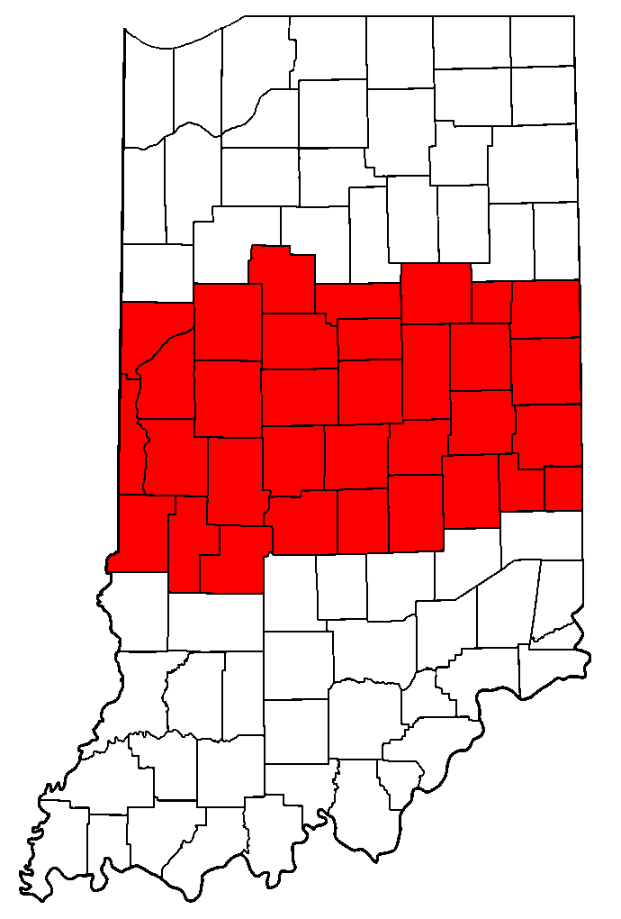
English: I created this map of counties in Central Indiana on March 20, 2007. |
| Date | |
| Source | Own work |
| Author | Wikichange ( talk) ( Uploads) |
Summary
I created this map of counties in Central Indiana on March 20, 2007.
Licensing
| I, the copyright holder of this work, release this work into the
public domain. This applies worldwide. In some countries this may not be legally possible; if so: I grant anyone the right to use this work for any purpose, without any conditions, unless such conditions are required by law. |
File history
Click on a date/time to view the file as it appeared at that time.
| Date/Time | Thumbnail | Dimensions | User | Comment | |
|---|---|---|---|---|---|
| current | 00:19, 14 November 2008 |
| 690 × 1,020 (38 KB) | TheHoosierState89 | state outline, color consistency among other Indiana maps |
| 03:20, 21 March 2007 |
 | 307 × 434 (10 KB) | Wikichange | I created this map of counties in Central Indiana on March 20, 2007. |
File usage
The following pages on the English Wikipedia use this file (pages on other projects are not listed):
Metadata
Size of this preview:
405 × 599 pixels. Other resolutions:
162 × 240 pixels |
325 × 480 pixels |
690 × 1,020 pixels.
Original file (690 × 1,020 pixels, file size: 38 KB, MIME type: image/png)
| This is a file from the
Wikimedia Commons. Information from its
description page there is shown below. Commons is a freely licensed media file repository. You can help. |
| Description |
English: I created this map of counties in Central Indiana on March 20, 2007. |
| Date | |
| Source | Own work |
| Author | Wikichange ( talk) ( Uploads) |
Summary
I created this map of counties in Central Indiana on March 20, 2007.
Licensing
| I, the copyright holder of this work, release this work into the
public domain. This applies worldwide. In some countries this may not be legally possible; if so: I grant anyone the right to use this work for any purpose, without any conditions, unless such conditions are required by law. |
File history
Click on a date/time to view the file as it appeared at that time.
| Date/Time | Thumbnail | Dimensions | User | Comment | |
|---|---|---|---|---|---|
| current | 00:19, 14 November 2008 |
| 690 × 1,020 (38 KB) | TheHoosierState89 | state outline, color consistency among other Indiana maps |
| 03:20, 21 March 2007 |
| 307 × 434 (10 KB) | Wikichange | I created this map of counties in Central Indiana on March 20, 2007. |
File usage
The following pages on the English Wikipedia use this file (pages on other projects are not listed):