Photos • Location


Size of this preview:
800 × 599 pixels. Other resolutions:
320 × 239 pixels |
640 × 479 pixels |
1,024 × 766 pixels |
1,280 × 958 pixels |
2,288 × 1,712 pixels.
Original file (2,288 × 1,712 pixels, file size: 880 KB, MIME type: image/jpeg)
| This is a file from the
Wikimedia Commons. Information from its
description page there is shown below. Commons is a freely licensed media file repository. You can help. |
Summary
| Description |
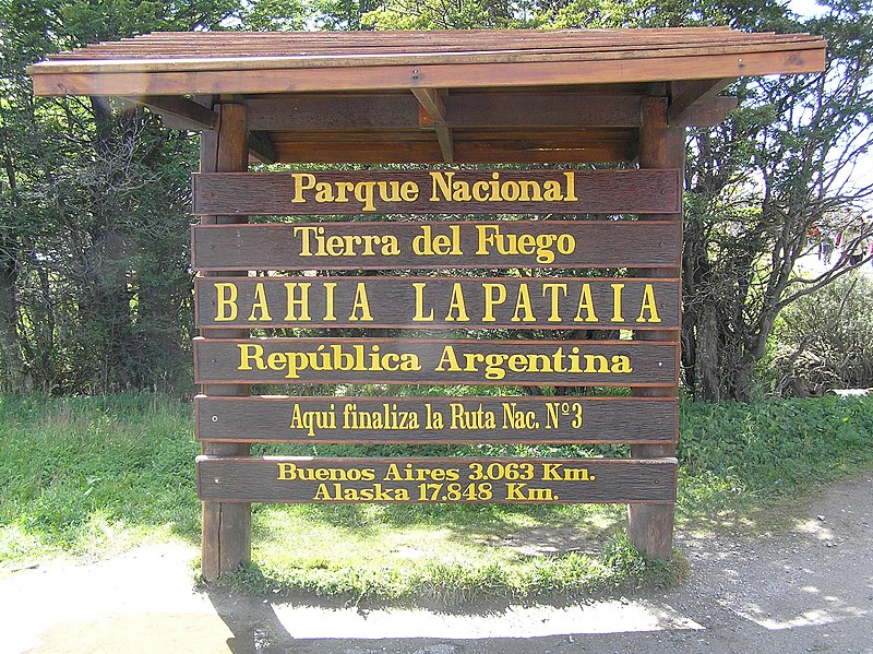
Español: Indicación del Parque Nacional Tierra del Fuego (Argentina) en la Bahía Lapataia. Fin de la Ruta Nacional Nº 3. |
||||||||
| Date | |||||||||
| Source | Own work | ||||||||
| Author | Mr. Tickle | ||||||||
| Permission ( Reusing this file) |
I, the copyright holder of this work, hereby publish it under the following licenses:
This file is licensed under the
Creative Commons
Attribution 2.5 Generic license.
You may select the license of your choice. |

| Camera location |
| View this and other nearby images on: OpenStreetMap |
|
|---|
File history
Click on a date/time to view the file as it appeared at that time.
| Date/Time | Thumbnail | Dimensions | User | Comment | |
|---|---|---|---|---|---|
| current | 19:46, 24 February 2006 |
| 2,288 × 1,712 (880 KB) | Mr. Tickle | {{es|Indicación del Parque Nacional Tierra del Fuego (Argentina) en la bahía Lapataia. Fin de la Ruta Nacional Nº 3}} '''Author''': Miguel A. Monjas '''Date''': January 6th, 2006 '''Place''': Bahía Latapaia, Isla Grande de Tierra del Fuego (Argenti |
File usage
The following pages on the English Wikipedia use this file (pages on other projects are not listed):
Global file usage
The following other wikis use this file:
- Usage on de.wikipedia.org
- Usage on es.wikipedia.org
- Usage on et.wikipedia.org
- Usage on fa.wikipedia.org
- Usage on pt.wikipedia.org
- Usage on sl.wikipedia.org
- Usage on zh.wikipedia.org
Metadata
Size of this preview:
800 × 599 pixels. Other resolutions:
320 × 239 pixels |
640 × 479 pixels |
1,024 × 766 pixels |
1,280 × 958 pixels |
2,288 × 1,712 pixels.
Original file (2,288 × 1,712 pixels, file size: 880 KB, MIME type: image/jpeg)
| This is a file from the
Wikimedia Commons. Information from its
description page there is shown below. Commons is a freely licensed media file repository. You can help. |
Summary
| Description |
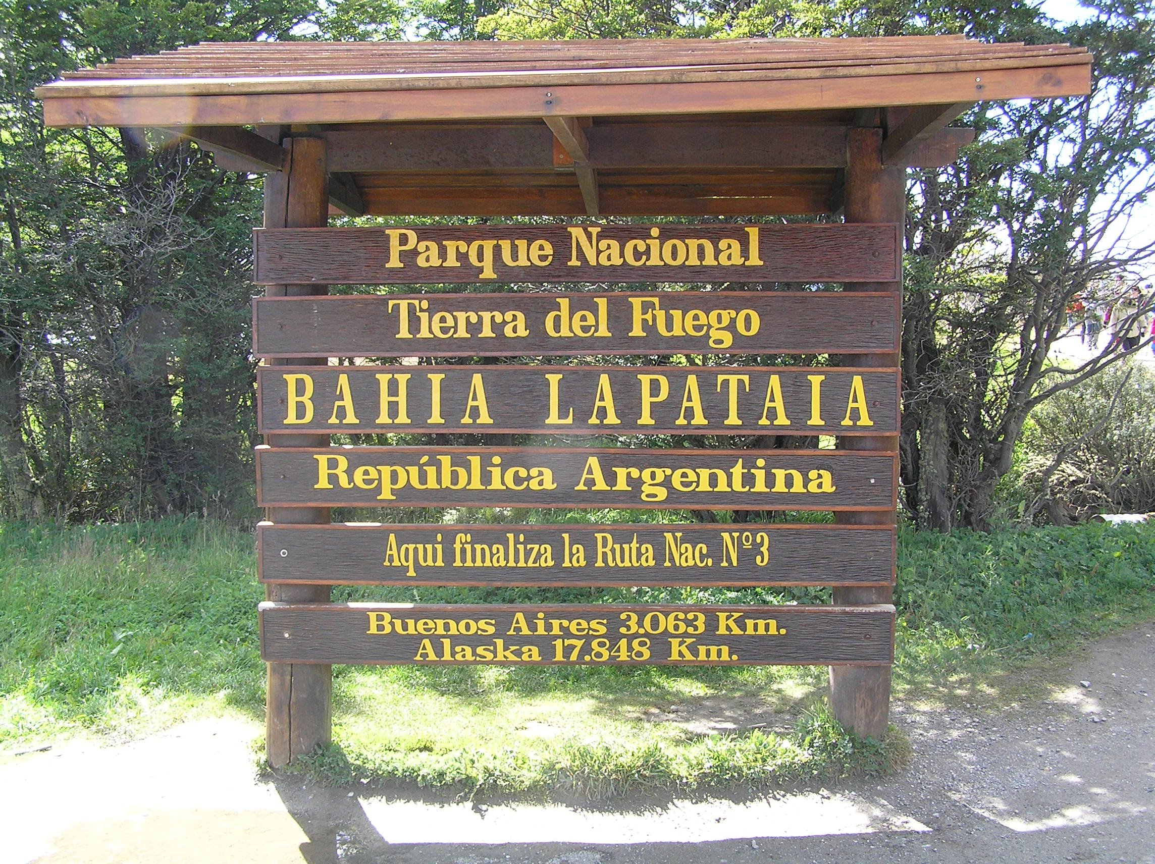
Español: Indicación del Parque Nacional Tierra del Fuego (Argentina) en la Bahía Lapataia. Fin de la Ruta Nacional Nº 3. |
||||||||
| Date | |||||||||
| Source | Own work | ||||||||
| Author | Mr. Tickle | ||||||||
| Permission ( Reusing this file) |
I, the copyright holder of this work, hereby publish it under the following licenses:
This file is licensed under the
Creative Commons
Attribution 2.5 Generic license.
You may select the license of your choice. |
| Camera location |
| View this and other nearby images on: OpenStreetMap |
|
|---|
File history
Click on a date/time to view the file as it appeared at that time.
| Date/Time | Thumbnail | Dimensions | User | Comment | |
|---|---|---|---|---|---|
| current | 19:46, 24 February 2006 |
| 2,288 × 1,712 (880 KB) | Mr. Tickle | {{es|Indicación del Parque Nacional Tierra del Fuego (Argentina) en la bahía Lapataia. Fin de la Ruta Nacional Nº 3}} '''Author''': Miguel A. Monjas '''Date''': January 6th, 2006 '''Place''': Bahía Latapaia, Isla Grande de Tierra del Fuego (Argenti |
File usage
The following pages on the English Wikipedia use this file (pages on other projects are not listed):
Global file usage
The following other wikis use this file:
- Usage on de.wikipedia.org
- Usage on es.wikipedia.org
- Usage on et.wikipedia.org
- Usage on fa.wikipedia.org
- Usage on pt.wikipedia.org
- Usage on sl.wikipedia.org
- Usage on zh.wikipedia.org