
Original file (SVG file, nominally 1,304 × 1,263 pixels, file size: 123 KB)
| This is a file from the
Wikimedia Commons. Information from its
description page there is shown below. Commons is a freely licensed media file repository. You can help. |
| Description |
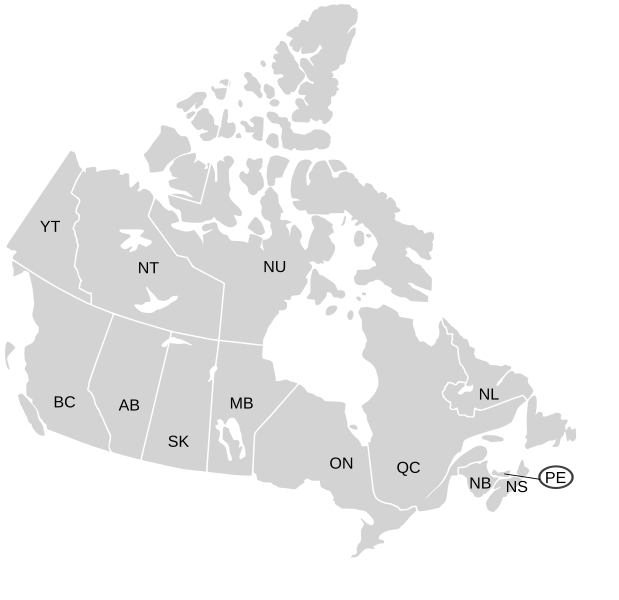
English: SVG map of Canada labelled with province names
Non-contiguous parts of a states/provinces are "grouped" together with the main area of the state/provinces, so any state/provinces can be coloured in completion with one click anywhere on the state/provinces's area. Also, all states/provinces have a "id" attached to them, making them easy to find. Select "find" and then enter in the state/provinces's ISO 3166-2 code in the "id" field to find it. The codes can be found here (Canada) and here (USA). |
| Date | 03-07-2007 edited 8-Aug-2007 |
| Source |
|
| Author | Lokal_Profil image cut to remove Canada and move Alaska closer by Paul Robinson |
| Permission ( Reusing this file) |
This file is licensed under the
Creative Commons
Attribution-Share Alike 2.5 Generic license.
|
| Other versions |
Labelled US map.svg same map with state labels, Blank US Map.svg similar map with inset versions of Alaska and Hawaii (as opposed to actual size, which is what appears here) Original blank map of USA and Canada, That image with labels, Original USA/Canada map with labels, Canada blank map.svg blank map of Canada |
File history
Click on a date/time to view the file as it appeared at that time.
| Date/Time | Thumbnail | Dimensions | User | Comment | |
|---|---|---|---|---|---|
| current | 19:07, 7 January 2009 |
| 1,304 × 1,263 (123 KB) | Lokal Profil | Fixed NS (Nova Scotia) / NB (New Brunswick) issue |
| 21:20, 9 August 2007 |
 | 1,304 × 1,263 (123 KB) | Rfc1394 | {{Information |Description={{en|SVG map of Canada labelled with province names}} Non-contiguous parts of a states/provinces are "grouped" together with the main area of the state/provinces, so any state/provinces can be coloured in completion with one cli |
File usage
Global file usage
The following other wikis use this file:
- Usage on ca.wikipedia.org
- Usage on eo.wikipedia.org
- Usage on es.wikipedia.org
- Usage on ja.wikipedia.org
- Usage on lt.wikipedia.org
- Usage on mk.wikipedia.org
- Usage on no.wikipedia.org
- Usage on sv.wikipedia.org
- Usage on tr.wikipedia.org
- Usage on zh-min-nan.wikipedia.org
- Usage on zh.wikipedia.org
Original file (SVG file, nominally 1,304 × 1,263 pixels, file size: 123 KB)
| This is a file from the
Wikimedia Commons. Information from its
description page there is shown below. Commons is a freely licensed media file repository. You can help. |
| Description |
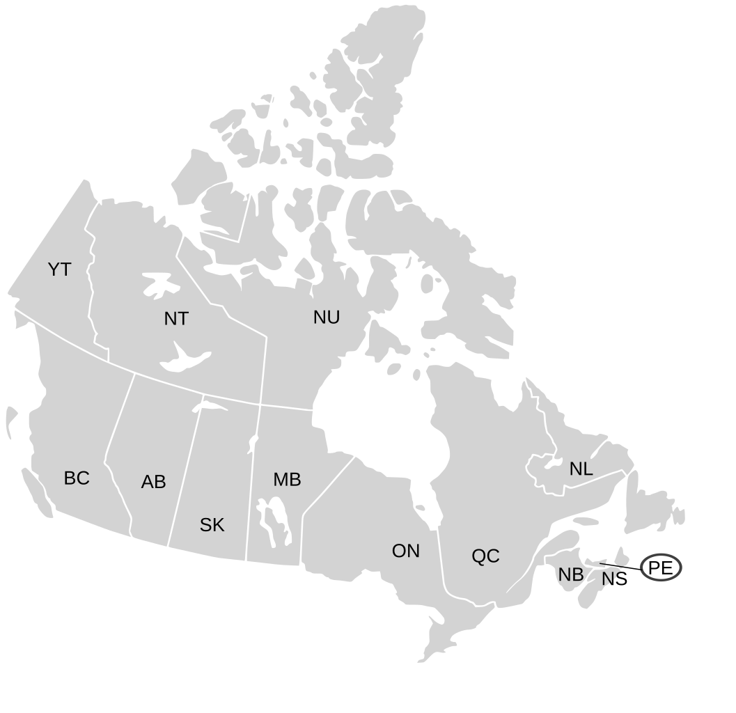
English: SVG map of Canada labelled with province names
Non-contiguous parts of a states/provinces are "grouped" together with the main area of the state/provinces, so any state/provinces can be coloured in completion with one click anywhere on the state/provinces's area. Also, all states/provinces have a "id" attached to them, making them easy to find. Select "find" and then enter in the state/provinces's ISO 3166-2 code in the "id" field to find it. The codes can be found here (Canada) and here (USA). |
| Date | 03-07-2007 edited 8-Aug-2007 |
| Source |
|
| Author | Lokal_Profil image cut to remove Canada and move Alaska closer by Paul Robinson |
| Permission ( Reusing this file) |
This file is licensed under the
Creative Commons
Attribution-Share Alike 2.5 Generic license.
|
| Other versions |
Labelled US map.svg same map with state labels, Blank US Map.svg similar map with inset versions of Alaska and Hawaii (as opposed to actual size, which is what appears here) Original blank map of USA and Canada, That image with labels, Original USA/Canada map with labels, Canada blank map.svg blank map of Canada |
File history
Click on a date/time to view the file as it appeared at that time.
| Date/Time | Thumbnail | Dimensions | User | Comment | |
|---|---|---|---|---|---|
| current | 19:07, 7 January 2009 |
| 1,304 × 1,263 (123 KB) | Lokal Profil | Fixed NS (Nova Scotia) / NB (New Brunswick) issue |
| 21:20, 9 August 2007 |
| 1,304 × 1,263 (123 KB) | Rfc1394 | {{Information |Description={{en|SVG map of Canada labelled with province names}} Non-contiguous parts of a states/provinces are "grouped" together with the main area of the state/provinces, so any state/provinces can be coloured in completion with one cli |
File usage
Global file usage
The following other wikis use this file:
- Usage on ca.wikipedia.org
- Usage on eo.wikipedia.org
- Usage on es.wikipedia.org
- Usage on ja.wikipedia.org
- Usage on lt.wikipedia.org
- Usage on mk.wikipedia.org
- Usage on no.wikipedia.org
- Usage on sv.wikipedia.org
- Usage on tr.wikipedia.org
- Usage on zh-min-nan.wikipedia.org
- Usage on zh.wikipedia.org