
Original file (SVG file, nominally 940 × 477 pixels, file size: 1.98 MB)
| This is a file from the
Wikimedia Commons. Information from its
description page there is shown below. Commons is a freely licensed media file repository. You can help. |
Summary
| Description |
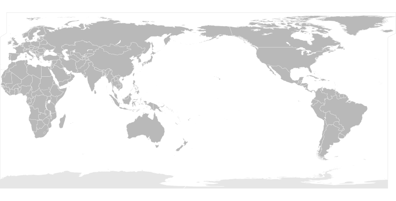
English: A blank flattened political map of the world centered at the 162E longitude line.
Detailed SVG map with grouping enabled to connect all non-contiguous parts of a country's territory for easy colouring. Smaller countries can also be represented by larger circles to show their data easier. A thorough description of use and other instructions relating to can be found on the instruction page |
||
| Date | |||
| Source | Based on Image:BlankMap-World6.svg and rotated and flattenedusing the pythonscript available at http://gsl-nagoya-u.net/appendix/software/worldmap/ | ||
| Author | Lokal_Profil | ||
| Permission ( Reusing this file) |
The map data manipulated by the script is in the public domain. The raw output of the script, including the file shown here, is also in the public domain.
|
||
| Other versions | Version centred at 180E | ||
| SVG development |
File history
Click on a date/time to view the file as it appeared at that time.
| Date/Time | Thumbnail | Dimensions | User | Comment | |
|---|---|---|---|---|---|
| current | 17:10, 6 March 2019 |
| 940 × 477 (1.98 MB) | Goran tek-en | Updating Montenegro and/or South Sudan as requested by {{u|Maphobbyist}}, valid code, Inkscape. |
| 22:22, 16 April 2008 |
 | 940 × 477 (3.46 MB) | Lokal Profil | SLightly nicer solution | |
| 22:18, 16 April 2008 |
 | 940 × 477 (3.46 MB) | Lokal Profil | Fix so that greenland and Iceland remain intact | |
| 19:29, 16 April 2008 |
 | 940 × 477 (3.47 MB) | Lokal Profil | {{Information |Description=A blank flattened map of the world centered at the 162E longitude line. Detailed SVG map with grouping enabled to connect all non-contiguous parts of a country's territory for easy colouring. Smaller countries can also be rep |
File usage
Global file usage
The following other wikis use this file:
- Usage on ko.wikipedia.org
- Usage on zh.wikipedia.org
Metadata
Original file (SVG file, nominally 940 × 477 pixels, file size: 1.98 MB)
| This is a file from the
Wikimedia Commons. Information from its
description page there is shown below. Commons is a freely licensed media file repository. You can help. |
Summary
| Description |
English: A blank flattened political map of the world centered at the 162E longitude line.
Detailed SVG map with grouping enabled to connect all non-contiguous parts of a country's territory for easy colouring. Smaller countries can also be represented by larger circles to show their data easier. A thorough description of use and other instructions relating to can be found on the instruction page |
||
| Date | |||
| Source | Based on Image:BlankMap-World6.svg and rotated and flattenedusing the pythonscript available at http://gsl-nagoya-u.net/appendix/software/worldmap/ | ||
| Author | Lokal_Profil | ||
| Permission ( Reusing this file) |
The map data manipulated by the script is in the public domain. The raw output of the script, including the file shown here, is also in the public domain.
|
||
| Other versions | Version centred at 180E | ||
| SVG development |
File history
Click on a date/time to view the file as it appeared at that time.
| Date/Time | Thumbnail | Dimensions | User | Comment | |
|---|---|---|---|---|---|
| current | 17:10, 6 March 2019 |
| 940 × 477 (1.98 MB) | Goran tek-en | Updating Montenegro and/or South Sudan as requested by {{u|Maphobbyist}}, valid code, Inkscape. |
| 22:22, 16 April 2008 |
| 940 × 477 (3.46 MB) | Lokal Profil | SLightly nicer solution | |
| 22:18, 16 April 2008 |
| 940 × 477 (3.46 MB) | Lokal Profil | Fix so that greenland and Iceland remain intact | |
| 19:29, 16 April 2008 |
| 940 × 477 (3.47 MB) | Lokal Profil | {{Information |Description=A blank flattened map of the world centered at the 162E longitude line. Detailed SVG map with grouping enabled to connect all non-contiguous parts of a country's territory for easy colouring. Smaller countries can also be rep |
File usage
Global file usage
The following other wikis use this file:
- Usage on ko.wikipedia.org
- Usage on zh.wikipedia.org