
Size of this PNG preview of this SVG file:
539 × 599 pixels. Other resolutions:
216 × 240 pixels |
432 × 480 pixels |
691 × 768 pixels |
921 × 1,024 pixels |
1,843 × 2,048 pixels |
1,205 × 1,339 pixels.
Original file (SVG file, nominally 1,205 × 1,339 pixels, file size: 125 KB)
| This is a file from the
Wikimedia Commons. Information from its
description page there is shown below. Commons is a freely licensed media file repository. You can help. |
Summary
| Description |
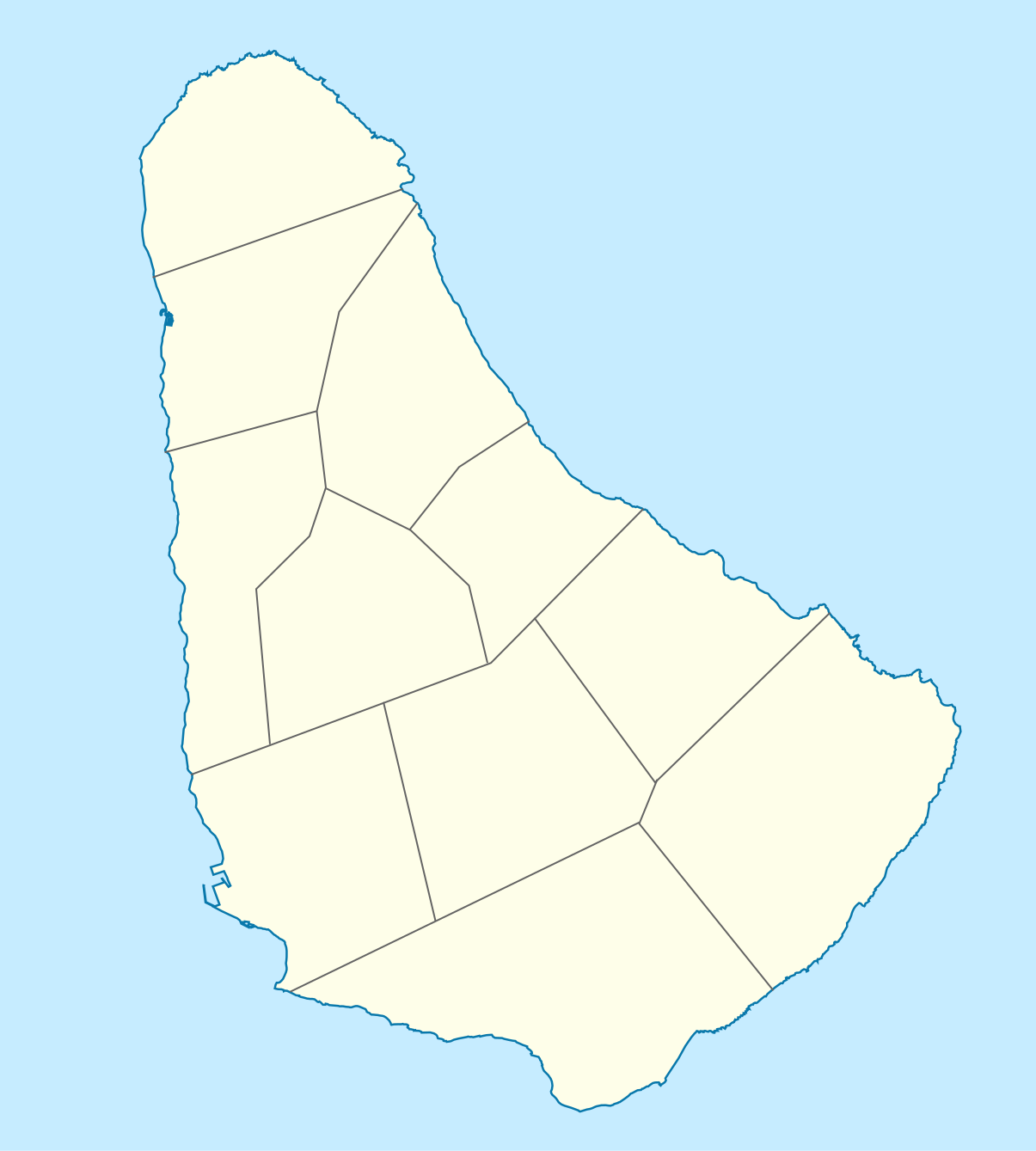
Deutsch: Positionskarte von
Barbados. Geographische Begrenzungen der Karte:
English: Location map of
Barbados. Geographic limits of the map:
|
| Date | |
| Source |
Own work, using
|
| Author |
Graphic made by
Carport
|
Licensing
This file is licensed under the
Creative Commons
Attribution-Share Alike 2.0 Generic license.
- You are free:
- to share – to copy, distribute and transmit the work
- to remix – to adapt the work
- Under the following conditions:
- attribution – You must give appropriate credit, provide a link to the license, and indicate if changes were made. You may do so in any reasonable manner, but not in any way that suggests the licensor endorses you or your use.
- share alike – If you remix, transform, or build upon the material, you must distribute your contributions under the same or compatible license as the original.
File history
Click on a date/time to view the file as it appeared at that time.
| Date/Time | Thumbnail | Dimensions | User | Comment | |
|---|---|---|---|---|---|
| current | 14:12, 22 November 2009 |
| 1,205 × 1,339 (125 KB) | Carport | {{Information |Description={{de|1=Positionskarte von {{w|Barbados|Barbados|de}}. Geographische Begrenzungen der Karte: * N: 13.349° N * S: 13,034° N * W: 59,690° W * E: 59,399° W}} {{en|1=Location map of {{w|Barbados}}. Geographic limits of the map: |
File usage
The following pages on the English Wikipedia use this file (pages on other projects are not listed):
- American University of Barbados
- Barbados
- Barbados Premier League
- Barbados national cricket team
- Bathsheba, Barbados
- Bridgetown
- Bridgetown Heliport
- Charles Fort (Barbados)
- Church Village, Barbados
- Fairmont Royal Pavilion
- Grantley Adams International Airport
- Greenland, Barbados
- Hastings, Barbados
- Heywoods Beach
- Hillaby, Barbados
- Holetown
- Lamberts, Barbados
- List of World Heritage Sites in Barbados
- List of beaches in Barbados
- List of cities, towns and villages in Barbados
- List of cricket grounds in the West Indies
- Oistins
- Parishes of Barbados
- Parliament Buildings (Barbados)
- Saint Ann's Fort
- Sandy Lane (resort)
- Speightstown
- The Church of Jesus Christ of Latter-day Saints in the Lesser Antilles
- Template:Map of Barbados
- Module:Location map/data/Barbados
- Module:Location map/data/Barbados/doc
Global file usage
The following other wikis use this file:
- Usage on af.wikipedia.org
- Usage on als.wikipedia.org
- Usage on an.wikipedia.org
- Usage on ar.wikipedia.org
- Usage on ast.wikipedia.org
- Usage on az.wikipedia.org
- Usage on ba.wikipedia.org
- Usage on be.wikipedia.org
- Usage on bg.wikipedia.org
- Usage on bn.wikipedia.org
- Usage on bs.wikipedia.org
- Usage on ceb.wikipedia.org
- Plantilya:Location map Barbados
- South Point
- Saint Philip
- Saint John
- Saint George
- Pelican Island
- Pelican Islet
- Long Bay
- Crab Hill
- North Point
- Mount Misery
- Round Rock
- Green Point
- Indian River
- Bell Point
- Christchurch (pagklaro)
- Lambert Point
- Horse Hill
- Bridgetown
- Freshwater Bay
- Saint Andrews
- Greenland
- Cave Bay
- Paynes Bay
View more global usage of this file.
Size of this PNG preview of this SVG file:
539 × 599 pixels. Other resolutions:
216 × 240 pixels |
432 × 480 pixels |
691 × 768 pixels |
921 × 1,024 pixels |
1,843 × 2,048 pixels |
1,205 × 1,339 pixels.
Original file (SVG file, nominally 1,205 × 1,339 pixels, file size: 125 KB)
| This is a file from the
Wikimedia Commons. Information from its
description page there is shown below. Commons is a freely licensed media file repository. You can help. |
Summary
| Description |
Deutsch: Positionskarte von
Barbados. Geographische Begrenzungen der Karte:
English: Location map of
Barbados. Geographic limits of the map:
|
| Date | |
| Source |
Own work, using
|
| Author |
Graphic made by
Carport
|
Licensing
This file is licensed under the
Creative Commons
Attribution-Share Alike 2.0 Generic license.
- You are free:
- to share – to copy, distribute and transmit the work
- to remix – to adapt the work
- Under the following conditions:
- attribution – You must give appropriate credit, provide a link to the license, and indicate if changes were made. You may do so in any reasonable manner, but not in any way that suggests the licensor endorses you or your use.
- share alike – If you remix, transform, or build upon the material, you must distribute your contributions under the same or compatible license as the original.
File history
Click on a date/time to view the file as it appeared at that time.
| Date/Time | Thumbnail | Dimensions | User | Comment | |
|---|---|---|---|---|---|
| current | 14:12, 22 November 2009 |
| 1,205 × 1,339 (125 KB) | Carport | {{Information |Description={{de|1=Positionskarte von {{w|Barbados|Barbados|de}}. Geographische Begrenzungen der Karte: * N: 13.349° N * S: 13,034° N * W: 59,690° W * E: 59,399° W}} {{en|1=Location map of {{w|Barbados}}. Geographic limits of the map: |
File usage
The following pages on the English Wikipedia use this file (pages on other projects are not listed):
- American University of Barbados
- Barbados
- Barbados Premier League
- Barbados national cricket team
- Bathsheba, Barbados
- Bridgetown
- Bridgetown Heliport
- Charles Fort (Barbados)
- Church Village, Barbados
- Fairmont Royal Pavilion
- Grantley Adams International Airport
- Greenland, Barbados
- Hastings, Barbados
- Heywoods Beach
- Hillaby, Barbados
- Holetown
- Lamberts, Barbados
- List of World Heritage Sites in Barbados
- List of beaches in Barbados
- List of cities, towns and villages in Barbados
- List of cricket grounds in the West Indies
- Oistins
- Parishes of Barbados
- Parliament Buildings (Barbados)
- Saint Ann's Fort
- Sandy Lane (resort)
- Speightstown
- The Church of Jesus Christ of Latter-day Saints in the Lesser Antilles
- Template:Map of Barbados
- Module:Location map/data/Barbados
- Module:Location map/data/Barbados/doc
Global file usage
The following other wikis use this file:
- Usage on af.wikipedia.org
- Usage on als.wikipedia.org
- Usage on an.wikipedia.org
- Usage on ar.wikipedia.org
- Usage on ast.wikipedia.org
- Usage on az.wikipedia.org
- Usage on ba.wikipedia.org
- Usage on be.wikipedia.org
- Usage on bg.wikipedia.org
- Usage on bn.wikipedia.org
- Usage on bs.wikipedia.org
- Usage on ceb.wikipedia.org
- Plantilya:Location map Barbados
- South Point
- Saint Philip
- Saint John
- Saint George
- Pelican Island
- Pelican Islet
- Long Bay
- Crab Hill
- North Point
- Mount Misery
- Round Rock
- Green Point
- Indian River
- Bell Point
- Christchurch (pagklaro)
- Lambert Point
- Horse Hill
- Bridgetown
- Freshwater Bay
- Saint Andrews
- Greenland
- Cave Bay
- Paynes Bay
View more global usage of this file.