Photos • Location


Size of this preview:
800 × 533 pixels. Other resolutions:
320 × 213 pixels |
640 × 427 pixels |
1,024 × 683 pixels |
1,280 × 853 pixels |
2,560 × 1,707 pixels |
3,888 × 2,592 pixels.
Original file (3,888 × 2,592 pixels, file size: 4.38 MB, MIME type: image/jpeg)
| This is a file from the
Wikimedia Commons. Information from its
description page there is shown below. Commons is a freely licensed media file repository. You can help. |
Summary
| Description | |
| Date | |
| Source | Digital camera. |
| Author | Mark Oliver Dittrich. Released into public domain on his behalf. |
| Camera location |
| View this and other nearby images on: OpenStreetMap |
|
|---|
Licensing
| This work has been released into the
public domain by its author, Mark Oliver Dittrich. This applies worldwide. In some countries this may not be legally possible; if so: Mark Oliver Dittrich grants anyone the right to use this work for any purpose, without any conditions, unless such conditions are required by law.
|
File history
Click on a date/time to view the file as it appeared at that time.
| Date/Time | Thumbnail | Dimensions | User | Comment | |
|---|---|---|---|---|---|
| current | 09:02, 28 January 2010 |
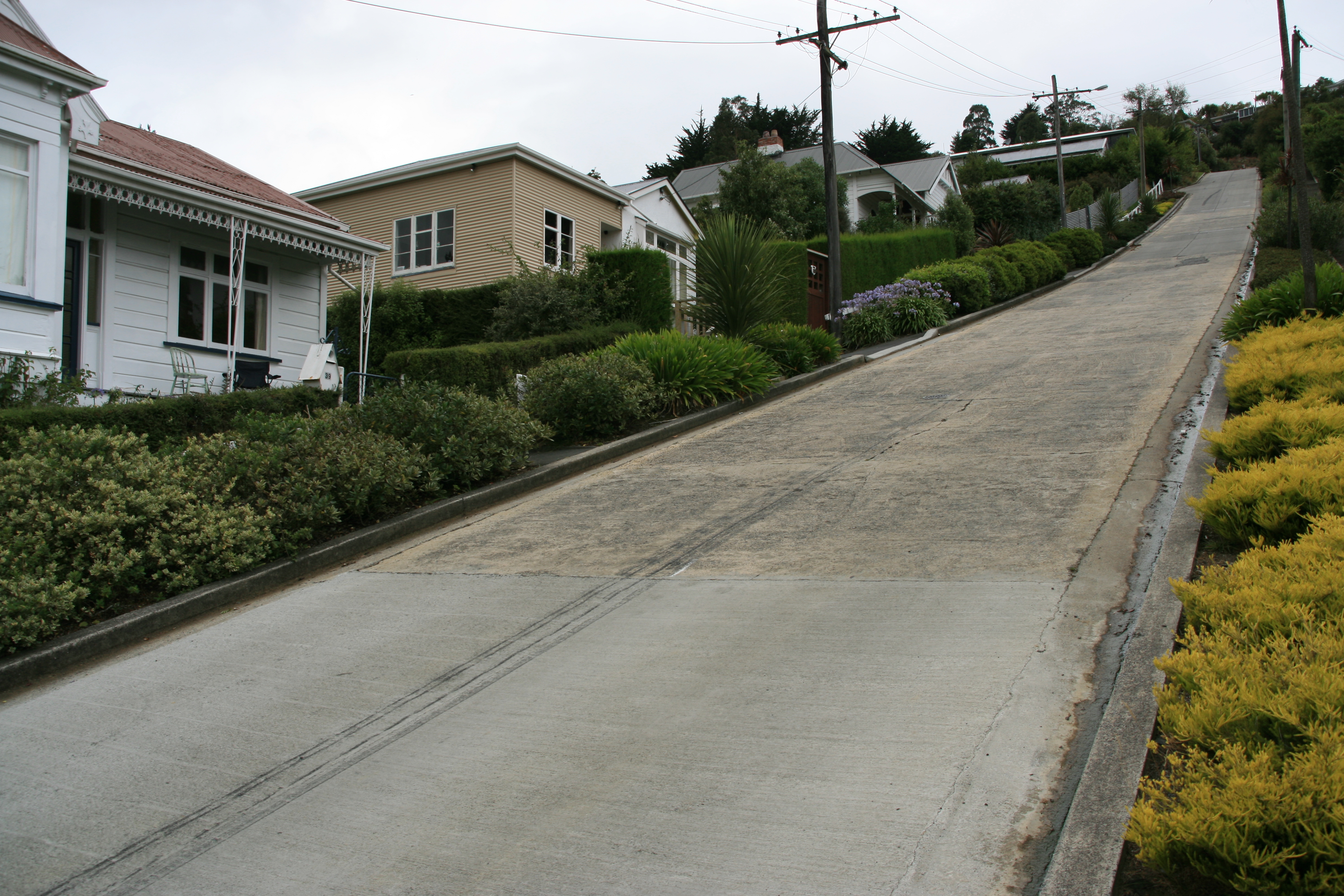
| 3,888 × 2,592 (4.38 MB) | Ingolfson | == {{int:filedesc}} == {{Information |Description={{en| Baldwin Street, Dunedin, New Zealand.}} |Source=Digital camera. |Date=2007-??-?? |Author=Mark Oliver Dittrich. Released into public domain on |
File usage
The following pages on the English Wikipedia use this file (pages on other projects are not listed):
Global file usage
The following other wikis use this file:
- Usage on bn.wikipedia.org
- Usage on de.wikipedia.org
- Usage on it.wikipedia.org
- Usage on ja.wikipedia.org
- Usage on zh.wikipedia.org
Metadata
Size of this preview:
800 × 533 pixels. Other resolutions:
320 × 213 pixels |
640 × 427 pixels |
1,024 × 683 pixels |
1,280 × 853 pixels |
2,560 × 1,707 pixels |
3,888 × 2,592 pixels.
Original file (3,888 × 2,592 pixels, file size: 4.38 MB, MIME type: image/jpeg)
| This is a file from the
Wikimedia Commons. Information from its
description page there is shown below. Commons is a freely licensed media file repository. You can help. |
Summary
| Description | |
| Date | |
| Source | Digital camera. |
| Author | Mark Oliver Dittrich. Released into public domain on his behalf. |
| Camera location |
| View this and other nearby images on: OpenStreetMap |
|
|---|
Licensing
| This work has been released into the
public domain by its author, Mark Oliver Dittrich. This applies worldwide. In some countries this may not be legally possible; if so: Mark Oliver Dittrich grants anyone the right to use this work for any purpose, without any conditions, unless such conditions are required by law.
|
File history
Click on a date/time to view the file as it appeared at that time.
| Date/Time | Thumbnail | Dimensions | User | Comment | |
|---|---|---|---|---|---|
| current | 09:02, 28 January 2010 |
| 3,888 × 2,592 (4.38 MB) | Ingolfson | == {{int:filedesc}} == {{Information |Description={{en| Baldwin Street, Dunedin, New Zealand.}} |Source=Digital camera. |Date=2007-??-?? |Author=Mark Oliver Dittrich. Released into public domain on |
File usage
The following pages on the English Wikipedia use this file (pages on other projects are not listed):
Global file usage
The following other wikis use this file:
- Usage on bn.wikipedia.org
- Usage on de.wikipedia.org
- Usage on it.wikipedia.org
- Usage on ja.wikipedia.org
- Usage on zh.wikipedia.org