
Size of this preview:
651 × 600 pixels. Other resolutions:
260 × 240 pixels |
521 × 480 pixels |
1,007 × 928 pixels.
Original file (1,007 × 928 pixels, file size: 139 KB, MIME type: image/jpeg)
| This is a file from the
Wikimedia Commons. Information from its
description page there is shown below. Commons is a freely licensed media file repository. You can help. |
| Description |
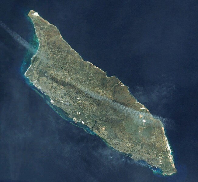
Deutsch: Satellitenbild von
Aruba
English: Satellite view of
Aruba |
|||
| Date | ||||
| Source | NASA World Wind | |||
| Author | NASA World Wind, Screenshot by Carport | |||
| Permission ( Reusing this file) |
|

File history
Click on a date/time to view the file as it appeared at that time.
| Date/Time | Thumbnail | Dimensions | User | Comment | |
|---|---|---|---|---|---|
| current | 18:13, 18 May 2010 |
| 1,007 × 928 (139 KB) | Carport | {{Information |Description={{de|Satellitenbild von {{w|Aruba|3=de}} }} {{en|Satellite view of {{w|Aruba}} }} |Source=NASA World Wind |Date=2010-05-18 |Author=NASA World Wind, Screenshot by {{u|Carport}} |Permission={{PD-WorldWind}} |other_versions= }} [[ |
File usage
The following pages on the English Wikipedia use this file (pages on other projects are not listed):
Global file usage
The following other wikis use this file:
- Usage on af.wikipedia.org
- Usage on cs.wikipedia.org
- Usage on pl.wikipedia.org
- Usage on pt.wikipedia.org
- Usage on uk.wikipedia.org
Metadata
Size of this preview:
651 × 600 pixels. Other resolutions:
260 × 240 pixels |
521 × 480 pixels |
1,007 × 928 pixels.
Original file (1,007 × 928 pixels, file size: 139 KB, MIME type: image/jpeg)
| This is a file from the
Wikimedia Commons. Information from its
description page there is shown below. Commons is a freely licensed media file repository. You can help. |
| Description |
Deutsch: Satellitenbild von
Aruba
English: Satellite view of
Aruba |
|||
| Date | ||||
| Source | NASA World Wind | |||
| Author | NASA World Wind, Screenshot by Carport | |||
| Permission ( Reusing this file) |
|
File history
Click on a date/time to view the file as it appeared at that time.
| Date/Time | Thumbnail | Dimensions | User | Comment | |
|---|---|---|---|---|---|
| current | 18:13, 18 May 2010 |
| 1,007 × 928 (139 KB) | Carport | {{Information |Description={{de|Satellitenbild von {{w|Aruba|3=de}} }} {{en|Satellite view of {{w|Aruba}} }} |Source=NASA World Wind |Date=2010-05-18 |Author=NASA World Wind, Screenshot by {{u|Carport}} |Permission={{PD-WorldWind}} |other_versions= }} [[ |
File usage
The following pages on the English Wikipedia use this file (pages on other projects are not listed):
Global file usage
The following other wikis use this file:
- Usage on af.wikipedia.org
- Usage on cs.wikipedia.org
- Usage on pl.wikipedia.org
- Usage on pt.wikipedia.org
- Usage on uk.wikipedia.org