Photos • Location


Size of this preview:
800 × 598 pixels. Other resolutions:
320 × 239 pixels |
640 × 478 pixels |
1,024 × 765 pixels |
1,280 × 956 pixels |
2,592 × 1,936 pixels.
Original file (2,592 × 1,936 pixels, file size: 1.9 MB, MIME type: image/jpeg)
| This is a file from the
Wikimedia Commons. Information from its
description page there is shown below. Commons is a freely licensed media file repository. You can help. |
Summary
| Description |
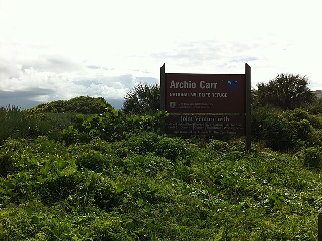
English:
Archie Carr National Wildlife Refuge near intersection of
Florida State Highway A1A and Sabal Ridge Lane in
Melbourne Beach,
Florida. |
| Date | |
| Source | Own work |
| Author | Leonard J. DeFrancisci |
| Camera location | | View this and other nearby images on: OpenStreetMap |
|
|---|
Licensing
Leonard J. DeFrancisci, the copyright holder of this work, hereby publishes it under the following licenses:
This file is licensed under the
Creative Commons
Attribution-Share Alike 3.0 Unported license.
Attribution: Leonard J. DeFrancisci
- You are free:
- to share – to copy, distribute and transmit the work
- to remix – to adapt the work
- Under the following conditions:
- attribution – You must give appropriate credit, provide a link to the license, and indicate if changes were made. You may do so in any reasonable manner, but not in any way that suggests the licensor endorses you or your use.
- share alike – If you remix, transform, or build upon the material, you must distribute your contributions under the same or compatible license as the original.

|
Permission is granted to copy, distribute and/or modify this document under the terms of the GNU Free Documentation License, Version 1.2 or any later version published by the Free Software Foundation; with no Invariant Sections, no Front-Cover Texts, and no Back-Cover Texts. A copy of the license is included in the section entitled GNU Free Documentation License. |
You may select the license of your choice.
Leonard J. DeFrancisci took this photograph on 15 September 2012.
File history
Click on a date/time to view the file as it appeared at that time.
| Date/Time | Thumbnail | Dimensions | User | Comment | |
|---|---|---|---|---|---|
| current | 05:18, 26 December 2012 |
| 2,592 × 1,936 (1.9 MB) | FieldMarine | {{Information |Description ={{en|1=Archie Carr National Wildlife Refuge.}} |Source ={{own}} |Author = Leonard J. DeFrancisci |Date =2012-09-15 |Permission = |other_versions = }} |
File usage
The following pages on the English Wikipedia use this file (pages on other projects are not listed):
Global file usage
The following other wikis use this file:
- Usage on ceb.wikipedia.org
- Usage on fa.wikipedia.org
- Usage on uk.wikipedia.org
- Usage on www.wikidata.org
Metadata
Size of this preview:
800 × 598 pixels. Other resolutions:
320 × 239 pixels |
640 × 478 pixels |
1,024 × 765 pixels |
1,280 × 956 pixels |
2,592 × 1,936 pixels.
Original file (2,592 × 1,936 pixels, file size: 1.9 MB, MIME type: image/jpeg)
| This is a file from the
Wikimedia Commons. Information from its
description page there is shown below. Commons is a freely licensed media file repository. You can help. |
Summary
| Description |
English:
Archie Carr National Wildlife Refuge near intersection of
Florida State Highway A1A and Sabal Ridge Lane in
Melbourne Beach,
Florida. |
| Date | |
| Source | Own work |
| Author | Leonard J. DeFrancisci |
| Camera location | | View this and other nearby images on: OpenStreetMap |
|
|---|
Licensing
Leonard J. DeFrancisci, the copyright holder of this work, hereby publishes it under the following licenses:
This file is licensed under the
Creative Commons
Attribution-Share Alike 3.0 Unported license.
Attribution: Leonard J. DeFrancisci
- You are free:
- to share – to copy, distribute and transmit the work
- to remix – to adapt the work
- Under the following conditions:
- attribution – You must give appropriate credit, provide a link to the license, and indicate if changes were made. You may do so in any reasonable manner, but not in any way that suggests the licensor endorses you or your use.
- share alike – If you remix, transform, or build upon the material, you must distribute your contributions under the same or compatible license as the original.
|
|
Permission is granted to copy, distribute and/or modify this document under the terms of the GNU Free Documentation License, Version 1.2 or any later version published by the Free Software Foundation; with no Invariant Sections, no Front-Cover Texts, and no Back-Cover Texts. A copy of the license is included in the section entitled GNU Free Documentation License. |
You may select the license of your choice.
Leonard J. DeFrancisci took this photograph on 15 September 2012.
File history
Click on a date/time to view the file as it appeared at that time.
| Date/Time | Thumbnail | Dimensions | User | Comment | |
|---|---|---|---|---|---|
| current | 05:18, 26 December 2012 |
| 2,592 × 1,936 (1.9 MB) | FieldMarine | {{Information |Description ={{en|1=Archie Carr National Wildlife Refuge.}} |Source ={{own}} |Author = Leonard J. DeFrancisci |Date =2012-09-15 |Permission = |other_versions = }} |
File usage
The following pages on the English Wikipedia use this file (pages on other projects are not listed):
Global file usage
The following other wikis use this file:
- Usage on ceb.wikipedia.org
- Usage on fa.wikipedia.org
- Usage on uk.wikipedia.org
- Usage on www.wikidata.org