Photos • Location


Size of this preview:
524 × 599 pixels. Other resolutions:
210 × 240 pixels |
420 × 480 pixels |
672 × 768 pixels |
896 × 1,024 pixels |
1,791 × 2,048 pixels |
3,589 × 4,103 pixels.
Original file (3,589 × 4,103 pixels, file size: 2.66 MB, MIME type: image/jpeg)
| This is a file from the
Wikimedia Commons. Information from its
description page there is shown below. Commons is a freely licensed media file repository. You can help. |
.jpg)
Summary
| Description |
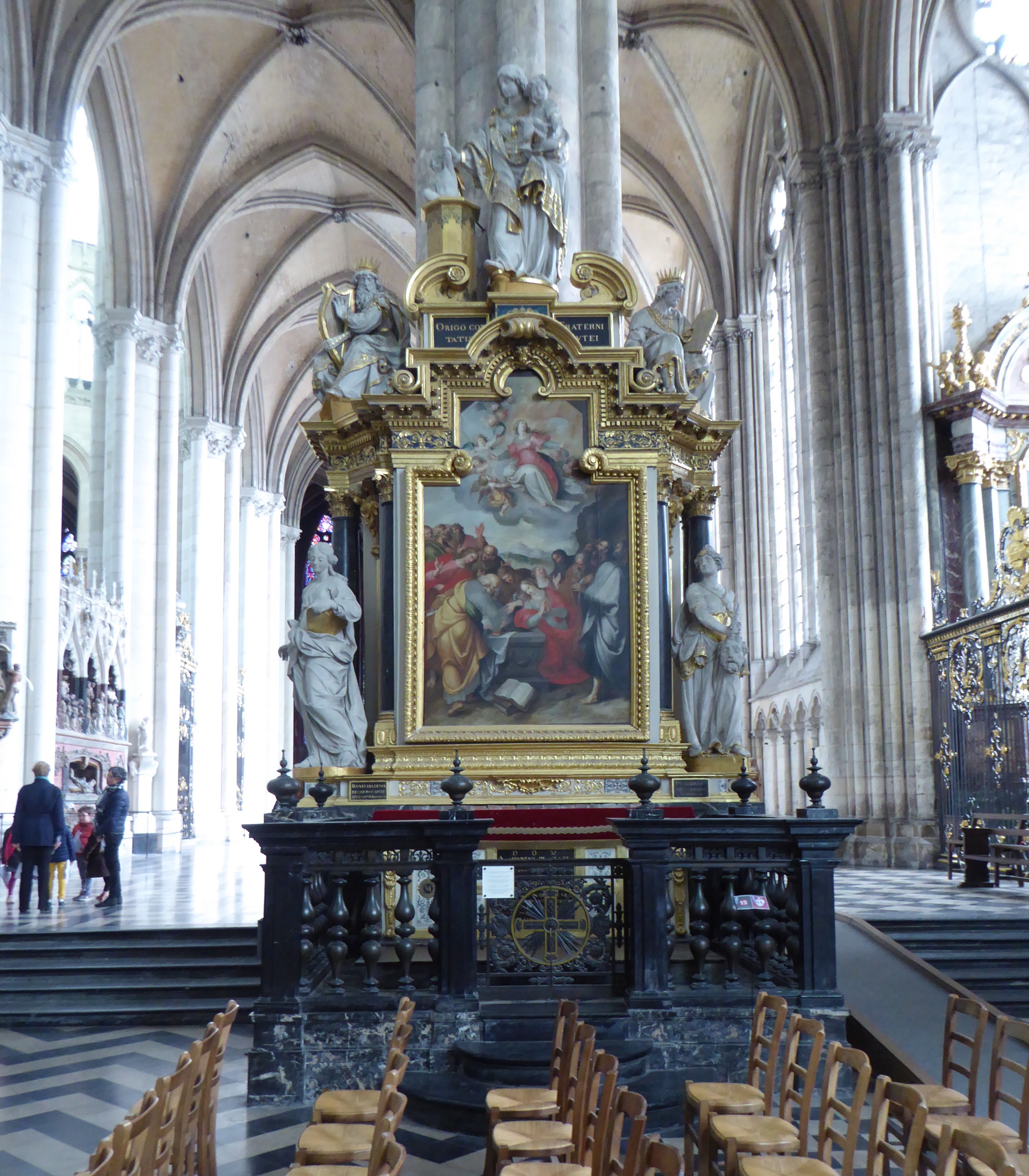
Français :
Cathédrale Notre-Dame d'Amiens. Chapelle de Notre-Dame du Pilier Rouge ou de Notre-Dame du Puy; œuvre de Nicolas Blasset, France. |
| Date | |
| Source | Own work |
| Author | PIERRE ANDRE LECLERCQ |
| Camera location | | View this and other nearby images on: OpenStreetMap |
|
|---|
.jpg¶ms=049.894672_N_0002.302456_E_globe:Earth_type:camera_heading:112.50&language=en)
This object is classé Monument Historique in the
base Palissy, database of the French furniture patrimony of the
French ministry of culture, under the reference
PM80001424.
|
Licensing
I, the copyright holder of this work, hereby publish it under the following license:
This file is licensed under the
Creative Commons
Attribution-Share Alike 4.0 International license.
- You are free:
- to share – to copy, distribute and transmit the work
- to remix – to adapt the work
- Under the following conditions:
- attribution – You must give appropriate credit, provide a link to the license, and indicate if changes were made. You may do so in any reasonable manner, but not in any way that suggests the licensor endorses you or your use.
- share alike – If you remix, transform, or build upon the material, you must distribute your contributions under the same or compatible license as the original.
|
|
This picture as been uploaded as part of
L'Été des régions Wikipédia.
|
File history
Click on a date/time to view the file as it appeared at that time.
| Date/Time | Thumbnail | Dimensions | User | Comment | |
|---|---|---|---|---|---|
| current | 10:03, 7 July 2017 |
| 3,589 × 4,103 (2.66 MB) | Pierre André Leclercq | User created page with UploadWizard |
File usage
The following pages on the English Wikipedia use this file (pages on other projects are not listed):
Metadata
.jpg)
Size of this preview:
524 × 599 pixels. Other resolutions:
210 × 240 pixels |
420 × 480 pixels |
672 × 768 pixels |
896 × 1,024 pixels |
1,791 × 2,048 pixels |
3,589 × 4,103 pixels.
Original file (3,589 × 4,103 pixels, file size: 2.66 MB, MIME type: image/jpeg)
| This is a file from the
Wikimedia Commons. Information from its
description page there is shown below. Commons is a freely licensed media file repository. You can help. |
Summary
| Description |
Français :
Cathédrale Notre-Dame d'Amiens. Chapelle de Notre-Dame du Pilier Rouge ou de Notre-Dame du Puy; œuvre de Nicolas Blasset, France. |
| Date | |
| Source | Own work |
| Author | PIERRE ANDRE LECLERCQ |
| Camera location | | View this and other nearby images on: OpenStreetMap |
|
|---|
This object is classé Monument Historique in the
base Palissy, database of the French furniture patrimony of the
French ministry of culture, under the reference
PM80001424.
|
Licensing
I, the copyright holder of this work, hereby publish it under the following license:
This file is licensed under the
Creative Commons
Attribution-Share Alike 4.0 International license.
- You are free:
- to share – to copy, distribute and transmit the work
- to remix – to adapt the work
- Under the following conditions:
- attribution – You must give appropriate credit, provide a link to the license, and indicate if changes were made. You may do so in any reasonable manner, but not in any way that suggests the licensor endorses you or your use.
- share alike – If you remix, transform, or build upon the material, you must distribute your contributions under the same or compatible license as the original.
|
|
This picture as been uploaded as part of
L'Été des régions Wikipédia.
|
File history
Click on a date/time to view the file as it appeared at that time.
| Date/Time | Thumbnail | Dimensions | User | Comment | |
|---|---|---|---|---|---|
| current | 10:03, 7 July 2017 |
| 3,589 × 4,103 (2.66 MB) | Pierre André Leclercq | User created page with UploadWizard |
File usage
The following pages on the English Wikipedia use this file (pages on other projects are not listed):