Photos • Location


Size of this preview:
788 × 600 pixels. Other resolutions:
316 × 240 pixels |
631 × 480 pixels |
1,010 × 768 pixels |
1,280 × 974 pixels |
2,560 × 1,948 pixels |
3,032 × 2,307 pixels.
Original file (3,032 × 2,307 pixels, file size: 491 KB, MIME type: image/jpeg)
| This is a file from the
Wikimedia Commons. Information from its
description page there is shown below. Commons is a freely licensed media file repository. You can help. |
Summary
| Description |
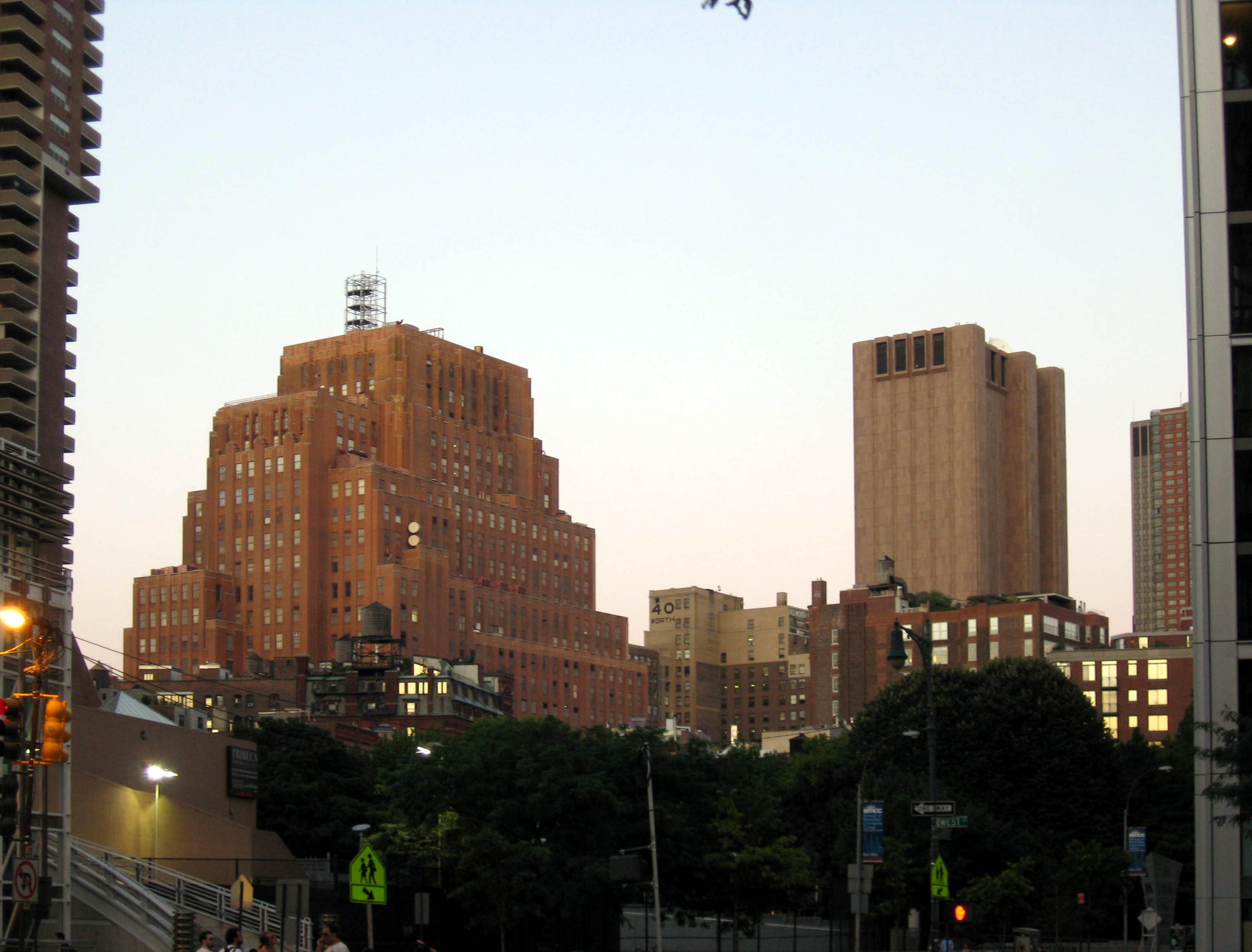
English: Looking northeast from West Side Highway at
en:60 Hudson Street (Western Union) and
en:33 Thomas Street (AT&T), at dusk of a sunny day |
| Date | Taken on 1 September 2008 |
| Source | Own work |
| Author | Jim.henderson |
| Camera location | | View this and other nearby images on: OpenStreetMap |
|
|---|
Licensing
| I, the copyright holder of this work, release this work into the
public domain. This applies worldwide. In some countries this may not be legally possible; if so: I grant anyone the right to use this work for any purpose, without any conditions, unless such conditions are required by law. |
| Annotations | This image is annotated: View the annotations at Commons |
File history
Click on a date/time to view the file as it appeared at that time.
| Date/Time | Thumbnail | Dimensions | User | Comment | |
|---|---|---|---|---|---|
| current | 01:43, 22 September 2008 |
| 3,032 × 2,307 (491 KB) | Jim.henderson | {{Information |Description={{en|1=Looking northeast from West Side Highway at en:60 Hudson Street and en:33 Thomas Street, at dusk of a sunny day}} |Source=Own work by uploader |Author= Jim.henderson |Date=Sept 1 2008 |Per |
File usage
The following pages on the English Wikipedia use this file (pages on other projects are not listed):
Metadata
Size of this preview:
788 × 600 pixels. Other resolutions:
316 × 240 pixels |
631 × 480 pixels |
1,010 × 768 pixels |
1,280 × 974 pixels |
2,560 × 1,948 pixels |
3,032 × 2,307 pixels.
Original file (3,032 × 2,307 pixels, file size: 491 KB, MIME type: image/jpeg)
| This is a file from the
Wikimedia Commons. Information from its
description page there is shown below. Commons is a freely licensed media file repository. You can help. |
Summary
| Description |
English: Looking northeast from West Side Highway at
en:60 Hudson Street (Western Union) and
en:33 Thomas Street (AT&T), at dusk of a sunny day |
| Date | Taken on 1 September 2008 |
| Source | Own work |
| Author | Jim.henderson |
| Camera location | | View this and other nearby images on: OpenStreetMap |
|
|---|
Licensing
| I, the copyright holder of this work, release this work into the
public domain. This applies worldwide. In some countries this may not be legally possible; if so: I grant anyone the right to use this work for any purpose, without any conditions, unless such conditions are required by law. |
| Annotations | This image is annotated: View the annotations at Commons |
File history
Click on a date/time to view the file as it appeared at that time.
| Date/Time | Thumbnail | Dimensions | User | Comment | |
|---|---|---|---|---|---|
| current | 01:43, 22 September 2008 |
| 3,032 × 2,307 (491 KB) | Jim.henderson | {{Information |Description={{en|1=Looking northeast from West Side Highway at en:60 Hudson Street and en:33 Thomas Street, at dusk of a sunny day}} |Source=Own work by uploader |Author= Jim.henderson |Date=Sept 1 2008 |Per |
File usage
The following pages on the English Wikipedia use this file (pages on other projects are not listed):