Photos • Location


Size of this preview:
800 × 534 pixels. Other resolutions:
320 × 214 pixels |
640 × 427 pixels |
1,024 × 683 pixels |
1,280 × 854 pixels |
2,560 × 1,709 pixels |
7,360 × 4,912 pixels.
Original file (7,360 × 4,912 pixels, file size: 21.63 MB, MIME type: image/jpeg)
| This is a file from the
Wikimedia Commons. Information from its
description page there is shown below. Commons is a freely licensed media file repository. You can help. |
Summary
| Description |
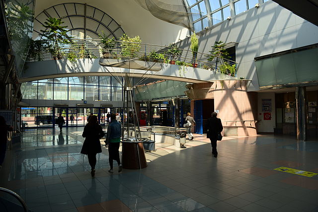
Deutsch: Bratislava
|
||
| Date | |||
| Source | Own work | ||
| Author |
| Camera location |
| View this and other nearby images on: OpenStreetMap |
|
|---|
Licensing

|
Permission is granted to copy, distribute and/or modify this document under the terms of the GNU Free Documentation License, Version 1.2 only as published by the Free Software Foundation; with no Invariant Sections, no Front-Cover Texts, and no Back-Cover Texts. A copy of the license is included in the section entitled GNU Free Documentation License. | 1.2 only |
File history
Click on a date/time to view the file as it appeared at that time.
| Date/Time | Thumbnail | Dimensions | User | Comment | |
|---|---|---|---|---|---|
| current | 16:40, 14 May 2014 |
| 7,360 × 4,912 (21.63 MB) | Fahrradmonteur.de |
File usage
The following pages on the English Wikipedia use this file (pages on other projects are not listed):
Global file usage
The following other wikis use this file:
- Usage on az.wikipedia.org
- Usage on cs.wikipedia.org
- Usage on de.wikipedia.org
- Usage on ja.wikipedia.org
- Usage on ko.wikipedia.org
- Usage on nl.wikipedia.org
- Usage on pl.wikipedia.org
- Usage on ru.wikipedia.org
- Usage on sk.wikipedia.org
Metadata
Size of this preview:
800 × 534 pixels. Other resolutions:
320 × 214 pixels |
640 × 427 pixels |
1,024 × 683 pixels |
1,280 × 854 pixels |
2,560 × 1,709 pixels |
7,360 × 4,912 pixels.
Original file (7,360 × 4,912 pixels, file size: 21.63 MB, MIME type: image/jpeg)
| This is a file from the
Wikimedia Commons. Information from its
description page there is shown below. Commons is a freely licensed media file repository. You can help. |
Summary
| Description |
Deutsch: Bratislava
|
||
| Date | |||
| Source | Own work | ||
| Author |
| Camera location |
| View this and other nearby images on: OpenStreetMap |
|
|---|
Licensing
|
|
Permission is granted to copy, distribute and/or modify this document under the terms of the GNU Free Documentation License, Version 1.2 only as published by the Free Software Foundation; with no Invariant Sections, no Front-Cover Texts, and no Back-Cover Texts. A copy of the license is included in the section entitled GNU Free Documentation License. | 1.2 only |
File history
Click on a date/time to view the file as it appeared at that time.
| Date/Time | Thumbnail | Dimensions | User | Comment | |
|---|---|---|---|---|---|
| current | 16:40, 14 May 2014 |
| 7,360 × 4,912 (21.63 MB) | Fahrradmonteur.de |
File usage
The following pages on the English Wikipedia use this file (pages on other projects are not listed):
Global file usage
The following other wikis use this file:
- Usage on az.wikipedia.org
- Usage on cs.wikipedia.org
- Usage on de.wikipedia.org
- Usage on ja.wikipedia.org
- Usage on ko.wikipedia.org
- Usage on nl.wikipedia.org
- Usage on pl.wikipedia.org
- Usage on ru.wikipedia.org
- Usage on sk.wikipedia.org