Photos • Location


Size of this preview:
800 × 533 pixels. Other resolutions:
320 × 213 pixels |
640 × 427 pixels |
1,024 × 683 pixels |
1,280 × 853 pixels |
2,592 × 1,728 pixels.
Original file (2,592 × 1,728 pixels, file size: 477 KB, MIME type: image/jpeg)
| This is a file from the
Wikimedia Commons. Information from its
description page there is shown below. Commons is a freely licensed media file repository. You can help. |
Summary
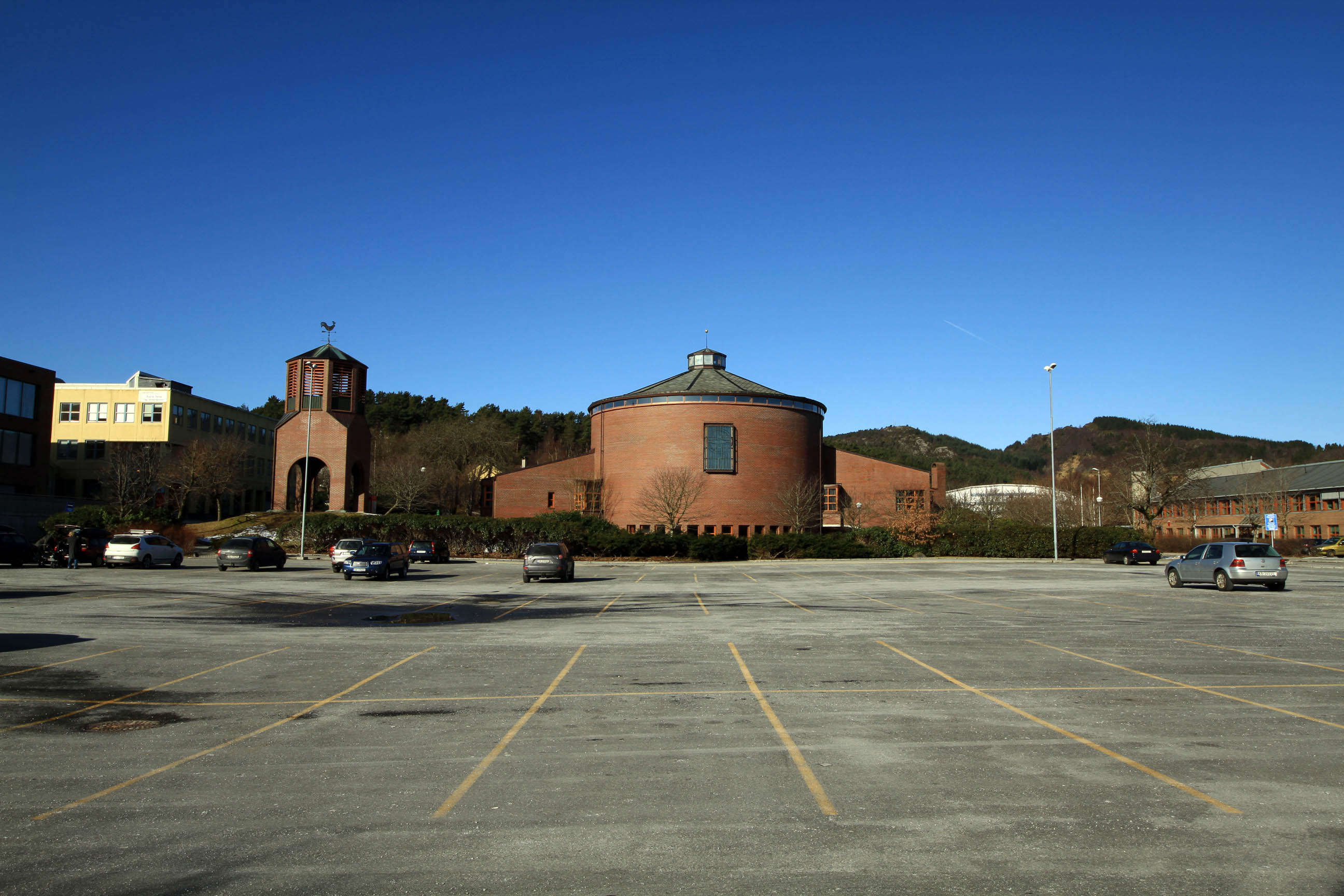
| Description | Åsane church, Haukedal, Åsane, Bergen, Hordaland, Norway | ||
| Date | Taken on 26 March 2011 | ||
| Source | https://web.archive.org/web/20161021170312/http://www.panoramio.com/photo/50205296 | ||
| Author | trolvag | ||
| Permission ( Reusing this file) |
This file is licensed under the
Creative Commons
Attribution-Share Alike 3.0 Unported license. Attribution: trolvag
|
||
| Tags (from Panoramio photo page) | Bergen, Bergen, Norway |
| Object location |
| View this and other nearby images on: OpenStreetMap |
|
|---|
| Camera location |
| View this and other nearby images on: OpenStreetMap |
|
|---|
File history
Click on a date/time to view the file as it appeared at that time.
| Date/Time | Thumbnail | Dimensions | User | Comment | |
|---|---|---|---|---|---|
| current | 03:04, 18 November 2016 |
| 2,592 × 1,728 (477 KB) | Panoramio upload bot | == {{int:filedesc}} == {{Information |description=Åsane church, Haukedal, Åsane, Bergen, Hordaland, Norway |date={{Taken on|2011-03-26}} |source=http://www.panoramio.com/photo/50205296 |author=[http://www.panoramio.com/user/861544?with_photo_id=50205... |
File usage
The following pages on the English Wikipedia use this file (pages on other projects are not listed):
Metadata
Size of this preview:
800 × 533 pixels. Other resolutions:
320 × 213 pixels |
640 × 427 pixels |
1,024 × 683 pixels |
1,280 × 853 pixels |
2,592 × 1,728 pixels.
Original file (2,592 × 1,728 pixels, file size: 477 KB, MIME type: image/jpeg)
| This is a file from the
Wikimedia Commons. Information from its
description page there is shown below. Commons is a freely licensed media file repository. You can help. |
Summary
| Description | Åsane church, Haukedal, Åsane, Bergen, Hordaland, Norway | ||
| Date | Taken on 26 March 2011 | ||
| Source | https://web.archive.org/web/20161021170312/http://www.panoramio.com/photo/50205296 | ||
| Author | trolvag | ||
| Permission ( Reusing this file) |
This file is licensed under the
Creative Commons
Attribution-Share Alike 3.0 Unported license. Attribution: trolvag
|
||
| Tags (from Panoramio photo page) | Bergen, Bergen, Norway |
| Object location |
| View this and other nearby images on: OpenStreetMap |
|
|---|
| Camera location |
| View this and other nearby images on: OpenStreetMap |
|
|---|
File history
Click on a date/time to view the file as it appeared at that time.
| Date/Time | Thumbnail | Dimensions | User | Comment | |
|---|---|---|---|---|---|
| current | 03:04, 18 November 2016 |
| 2,592 × 1,728 (477 KB) | Panoramio upload bot | == {{int:filedesc}} == {{Information |description=Åsane church, Haukedal, Åsane, Bergen, Hordaland, Norway |date={{Taken on|2011-03-26}} |source=http://www.panoramio.com/photo/50205296 |author=[http://www.panoramio.com/user/861544?with_photo_id=50205... |
File usage
The following pages on the English Wikipedia use this file (pages on other projects are not listed):