Photos • Location


Size of this preview:
799 × 599 pixels. Other resolutions:
320 × 240 pixels |
640 × 480 pixels |
1,024 × 768 pixels |
1,280 × 960 pixels |
2,560 × 1,920 pixels |
2,922 × 2,192 pixels.
Original file (2,922 × 2,192 pixels, file size: 2 MB, MIME type: image/jpeg)
| This is a file from the
Wikimedia Commons. Information from its
description page there is shown below. Commons is a freely licensed media file repository. You can help. |
| Description | |||
| Date | (04 Dec 2010) | ||
| Source | Own work | ||
| Author | Batholith ( talk) | ||
| Permission ( Reusing this file) |
|
||
| Other versions |
 |
| Camera location |
| View this and other nearby images on: OpenStreetMap |
|
|---|
File history
Click on a date/time to view the file as it appeared at that time.
| Date/Time | Thumbnail | Dimensions | User | Comment | |
|---|---|---|---|---|---|
| current | 08:18, 7 December 2010 |
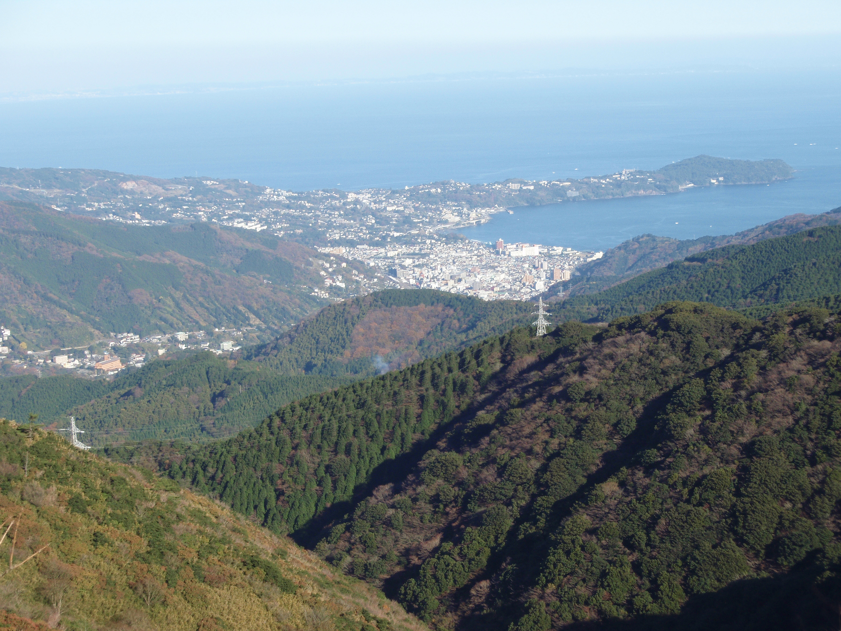
| 2,922 × 2,192 (2 MB) | Batholith | {{Information |Description={{en|''' Manazuru town''' and ''' Yugawara town'''. View from Jukkoku Pass in Shizuoka prefecture, [[:en:Japan|Japan] |
File usage
The following pages on the English Wikipedia use this file (pages on other projects are not listed):
Global file usage
The following other wikis use this file:
Metadata
Size of this preview:
799 × 599 pixels. Other resolutions:
320 × 240 pixels |
640 × 480 pixels |
1,024 × 768 pixels |
1,280 × 960 pixels |
2,560 × 1,920 pixels |
2,922 × 2,192 pixels.
Original file (2,922 × 2,192 pixels, file size: 2 MB, MIME type: image/jpeg)
| This is a file from the
Wikimedia Commons. Information from its
description page there is shown below. Commons is a freely licensed media file repository. You can help. |
| Description | |||
| Date | (04 Dec 2010) | ||
| Source | Own work | ||
| Author | Batholith ( talk) | ||
| Permission ( Reusing this file) |
|
||
| Other versions |
|
| Camera location |
| View this and other nearby images on: OpenStreetMap |
|
|---|
File history
Click on a date/time to view the file as it appeared at that time.
| Date/Time | Thumbnail | Dimensions | User | Comment | |
|---|---|---|---|---|---|
| current | 08:18, 7 December 2010 |
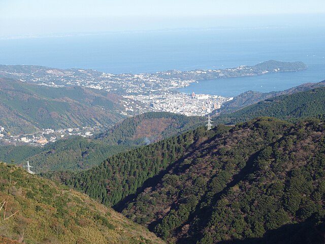
| 2,922 × 2,192 (2 MB) | Batholith | {{Information |Description={{en|''' Manazuru town''' and ''' Yugawara town'''. View from Jukkoku Pass in Shizuoka prefecture, [[:en:Japan|Japan] |
File usage
The following pages on the English Wikipedia use this file (pages on other projects are not listed):
Global file usage
The following other wikis use this file: