Photos • Location


Size of this preview:
800 × 531 pixels. Other resolutions:
320 × 213 pixels |
640 × 425 pixels |
1,024 × 680 pixels |
1,280 × 850 pixels |
2,560 × 1,700 pixels |
4,288 × 2,848 pixels.
Original file (4,288 × 2,848 pixels, file size: 4.72 MB, MIME type: image/jpeg)
| This is a file from the
Wikimedia Commons. Information from its
description page there is shown below. Commons is a freely licensed media file repository. You can help. |
Summary
| Description |
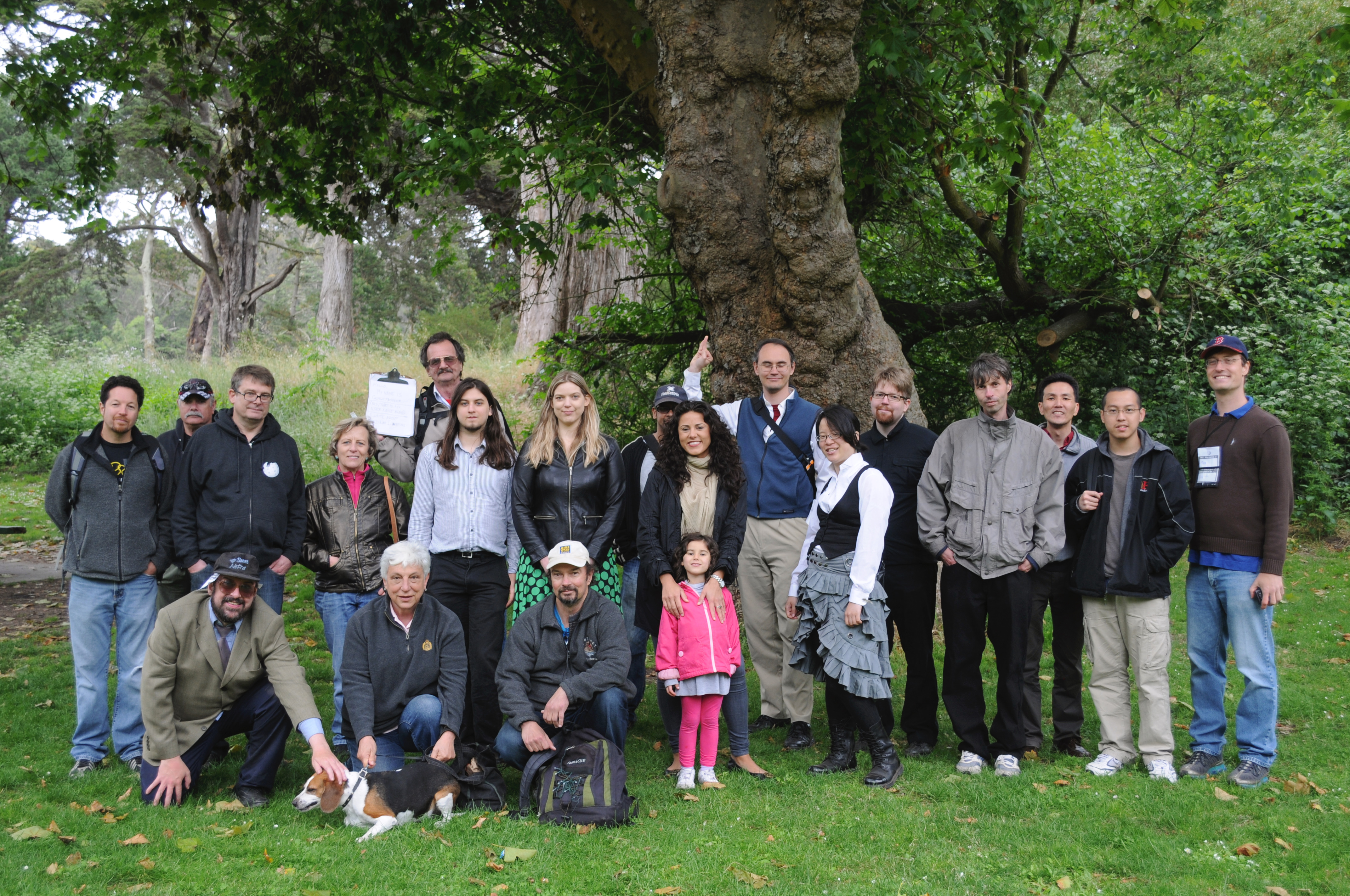
English: Wiki folk attending the first annual
Great American Wiknic in San Francisco, California, June 2011. |
| Date | |
| Source | https://www.flickr.com/photos/dcoetzee/5871554133/in/set-72157626924179473 |
| Author | Derrick Coetzee |
| Camera location |
| View this and other nearby images on: OpenStreetMap |
|
|---|
Licensing
| This file is made available under the Creative Commons CC0 1.0 Universal Public Domain Dedication. | |
| The person who associated a work with this deed has dedicated the work to the
public domain by waiving all of their rights to the work worldwide under copyright law, including all related and neighboring rights, to the extent allowed by law. You can copy, modify, distribute and perform the work, even for commercial purposes, all without asking permission.
|
| Annotations | This image is annotated: View the annotations at Commons |
File history
Click on a date/time to view the file as it appeared at that time.
| Date/Time | Thumbnail | Dimensions | User | Comment | |
|---|---|---|---|---|---|
| current | 00:56, 27 June 2011 |
| 4,288 × 2,848 (4.72 MB) | Peteforsyth |
File usage
The following pages on the English Wikipedia use this file (pages on other projects are not listed):
Global file usage
The following other wikis use this file:
- Usage on ja.wikipedia.org
Metadata
Size of this preview:
800 × 531 pixels. Other resolutions:
320 × 213 pixels |
640 × 425 pixels |
1,024 × 680 pixels |
1,280 × 850 pixels |
2,560 × 1,700 pixels |
4,288 × 2,848 pixels.
Original file (4,288 × 2,848 pixels, file size: 4.72 MB, MIME type: image/jpeg)
| This is a file from the
Wikimedia Commons. Information from its
description page there is shown below. Commons is a freely licensed media file repository. You can help. |
Summary
| Description |
English: Wiki folk attending the first annual
Great American Wiknic in San Francisco, California, June 2011. |
| Date | |
| Source | https://www.flickr.com/photos/dcoetzee/5871554133/in/set-72157626924179473 |
| Author | Derrick Coetzee |
| Camera location |
| View this and other nearby images on: OpenStreetMap |
|
|---|
Licensing
| This file is made available under the Creative Commons CC0 1.0 Universal Public Domain Dedication. | |
| The person who associated a work with this deed has dedicated the work to the
public domain by waiving all of their rights to the work worldwide under copyright law, including all related and neighboring rights, to the extent allowed by law. You can copy, modify, distribute and perform the work, even for commercial purposes, all without asking permission.
|
| Annotations | This image is annotated: View the annotations at Commons |
File history
Click on a date/time to view the file as it appeared at that time.
| Date/Time | Thumbnail | Dimensions | User | Comment | |
|---|---|---|---|---|---|
| current | 00:56, 27 June 2011 |
| 4,288 × 2,848 (4.72 MB) | Peteforsyth |
File usage
The following pages on the English Wikipedia use this file (pages on other projects are not listed):
Global file usage
The following other wikis use this file:
- Usage on ja.wikipedia.org