Photos • Location


Size of this preview:
800 × 532 pixels. Other resolutions:
320 × 213 pixels |
640 × 426 pixels |
1,024 × 682 pixels |
1,280 × 852 pixels |
2,560 × 1,704 pixels |
3,899 × 2,595 pixels.
Original file (3,899 × 2,595 pixels, file size: 1.39 MB, MIME type: image/jpeg)
| This is a file from the
Wikimedia Commons. Information from its
description page there is shown below. Commons is a freely licensed media file repository. You can help. |
| Camera location |
| View this and other nearby images on: OpenStreetMap |
|
|---|
| Description |
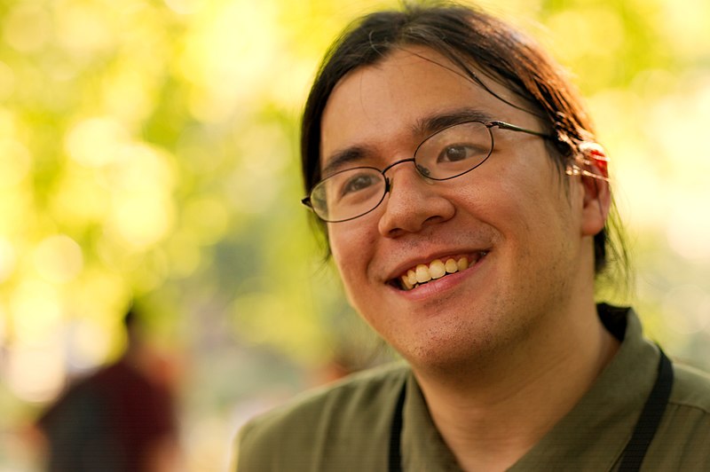
English:
CComMack at the 2007-08-12 Wikipedia NYC picnic meetup. |
| Date | UTC |
| Source | By uploader. |
| Author | Gregory F. Maxwell < gmaxwell@gmail.com> PGP: 0xB0413BFA |
| Permission ( Reusing this file) |
GFDL 1.2 only other licensing terms available by request (especially requests by the subject of the image) |

|
Permission is granted to copy, distribute and/or modify this document under the terms of the GNU Free Documentation License, Version 1.2 only as published by the Free Software Foundation; with no Invariant Sections, no Front-Cover Texts, and no Back-Cover Texts. A copy of the license is included in the section entitled GNU Free Documentation License. | 1.2 only |
File history
Click on a date/time to view the file as it appeared at that time.
| Date/Time | Thumbnail | Dimensions | User | Comment | |
|---|---|---|---|---|---|
| current | 06:42, 13 August 2007 |
| 3,899 × 2,595 (1.39 MB) | Gmaxwell | {{location dec|40.780631|-73.968641}} {{Information |Description={{en| CComMack at the 2007-08-12 Wikipedia NYC picnic meetup.}} |Source=By uploader. |Date=2007:08:12 20:50:11 UTC |Author= Gregory F. Maxwell <[mail |
File usage
The following pages on the English Wikipedia use this file (pages on other projects are not listed):
Global file usage
The following other wikis use this file:
- Usage on nyc.wikimedia.org
Metadata
Size of this preview:
800 × 532 pixels. Other resolutions:
320 × 213 pixels |
640 × 426 pixels |
1,024 × 682 pixels |
1,280 × 852 pixels |
2,560 × 1,704 pixels |
3,899 × 2,595 pixels.
Original file (3,899 × 2,595 pixels, file size: 1.39 MB, MIME type: image/jpeg)
| This is a file from the
Wikimedia Commons. Information from its
description page there is shown below. Commons is a freely licensed media file repository. You can help. |
| Camera location |
| View this and other nearby images on: OpenStreetMap |
|
|---|
| Description |
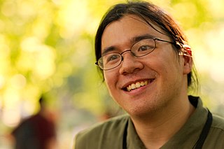
English:
CComMack at the 2007-08-12 Wikipedia NYC picnic meetup. |
| Date | UTC |
| Source | By uploader. |
| Author | Gregory F. Maxwell < gmaxwell@gmail.com> PGP: 0xB0413BFA |
| Permission ( Reusing this file) |
GFDL 1.2 only other licensing terms available by request (especially requests by the subject of the image) |
|
|
Permission is granted to copy, distribute and/or modify this document under the terms of the GNU Free Documentation License, Version 1.2 only as published by the Free Software Foundation; with no Invariant Sections, no Front-Cover Texts, and no Back-Cover Texts. A copy of the license is included in the section entitled GNU Free Documentation License. | 1.2 only |
File history
Click on a date/time to view the file as it appeared at that time.
| Date/Time | Thumbnail | Dimensions | User | Comment | |
|---|---|---|---|---|---|
| current | 06:42, 13 August 2007 |
| 3,899 × 2,595 (1.39 MB) | Gmaxwell | {{location dec|40.780631|-73.968641}} {{Information |Description={{en| CComMack at the 2007-08-12 Wikipedia NYC picnic meetup.}} |Source=By uploader. |Date=2007:08:12 20:50:11 UTC |Author= Gregory F. Maxwell <[mail |
File usage
The following pages on the English Wikipedia use this file (pages on other projects are not listed):
Global file usage
The following other wikis use this file:
- Usage on nyc.wikimedia.org