
Size of this PNG preview of this SVG file:
684 × 600 pixels. Other resolutions:
274 × 240 pixels |
548 × 480 pixels |
876 × 768 pixels |
1,168 × 1,024 pixels |
2,336 × 2,048 pixels |
1,654 × 1,450 pixels.
Original file (SVG file, nominally 1,654 × 1,450 pixels, file size: 300 KB)
| This is a file from the
Wikimedia Commons. Information from its
description page there is shown below. Commons is a freely licensed media file repository. You can help. |
Summary
.svg)
.svg)
.svg)
.svg)
.svg)
.svg)
.svg)

-en.svg)

.svg)
.svg)
.svg)

_(US48).svg)
_(small_islands_magnified)_(-mini_map_-rivers).svg)
.svg)
_(extra_close)_(US48).svg)
.svg)
_(zoom).svg)

.svg)


_(UNMIK).svg)
.svg)
_(disputed_hatched).svg)
_(claimed_and_disputed_hatched).svg)
.svg)
.svg)
_(%2Ball_claims_hatched).svg)

.svg)
_(shade).svg)
_(shade)_(special_marker).svg)
_(-mini_map).svg)
_(-mini_map).svg)
_(-mini_map).svg)


.svg)

.svg)
.svg)
Licensing
I, the copyright holder of this work, hereby publish it under the following license:
This file is licensed under the
Creative Commons
Attribution-Share Alike 3.0 Unported license.
- You are free:
- to share – to copy, distribute and transmit the work
- to remix – to adapt the work
- Under the following conditions:
- attribution – You must give appropriate credit, provide a link to the license, and indicate if changes were made. You may do so in any reasonable manner, but not in any way that suggests the licensor endorses you or your use.
- share alike – If you remix, transform, or build upon the material, you must distribute your contributions under the same or compatible license as the original.

|
I'd greatly appreciate, that you attribute this media file to Wikimedia Commons, if used outside Wikipedia or Commons. For use in publications such as books, newspapers, blogs, websites, please insert
here the following line:
|
.svg&action=edit&redlink=1)
File history
Click on a date/time to view the file as it appeared at that time.
| Date/Time | Thumbnail | Dimensions | User | Comment | |
|---|---|---|---|---|---|
| current | 11:49, 5 November 2021 |
| 1,654 × 1,450 (300 KB) | Pikne | split West Kordofan |
| 21:54, 28 January 2013 |
 | 1,654 × 1,450 (345 KB) | TUBS | ||
| 16:43, 23 November 2011 |
 | 1,654 × 1,450 (685 KB) | TUBS |
File usage
The following pages on the English Wikipedia use this file (pages on other projects are not listed):
Global file usage
The following other wikis use this file:
- Usage on ar.wikipedia.org
- Usage on arz.wikipedia.org
- Usage on bg.wikipedia.org
- Usage on eo.wikipedia.org
- Usage on es.wikipedia.org
- Usage on ha.wikipedia.org
- Usage on ig.wikipedia.org
- Usage on ru.wikipedia.org
- Usage on ts.wikipedia.org
- Usage on uk.wikipedia.org
- Usage on ur.wikipedia.org
- Usage on www.wikidata.org
- Usage on yo.wikipedia.org
- Usage on zu.wikipedia.org
Metadata
.svg)
Size of this PNG preview of this SVG file:
684 × 600 pixels. Other resolutions:
274 × 240 pixels |
548 × 480 pixels |
876 × 768 pixels |
1,168 × 1,024 pixels |
2,336 × 2,048 pixels |
1,654 × 1,450 pixels.
Original file (SVG file, nominally 1,654 × 1,450 pixels, file size: 300 KB)
| This is a file from the
Wikimedia Commons. Information from its
description page there is shown below. Commons is a freely licensed media file repository. You can help. |
Summary
| Description |
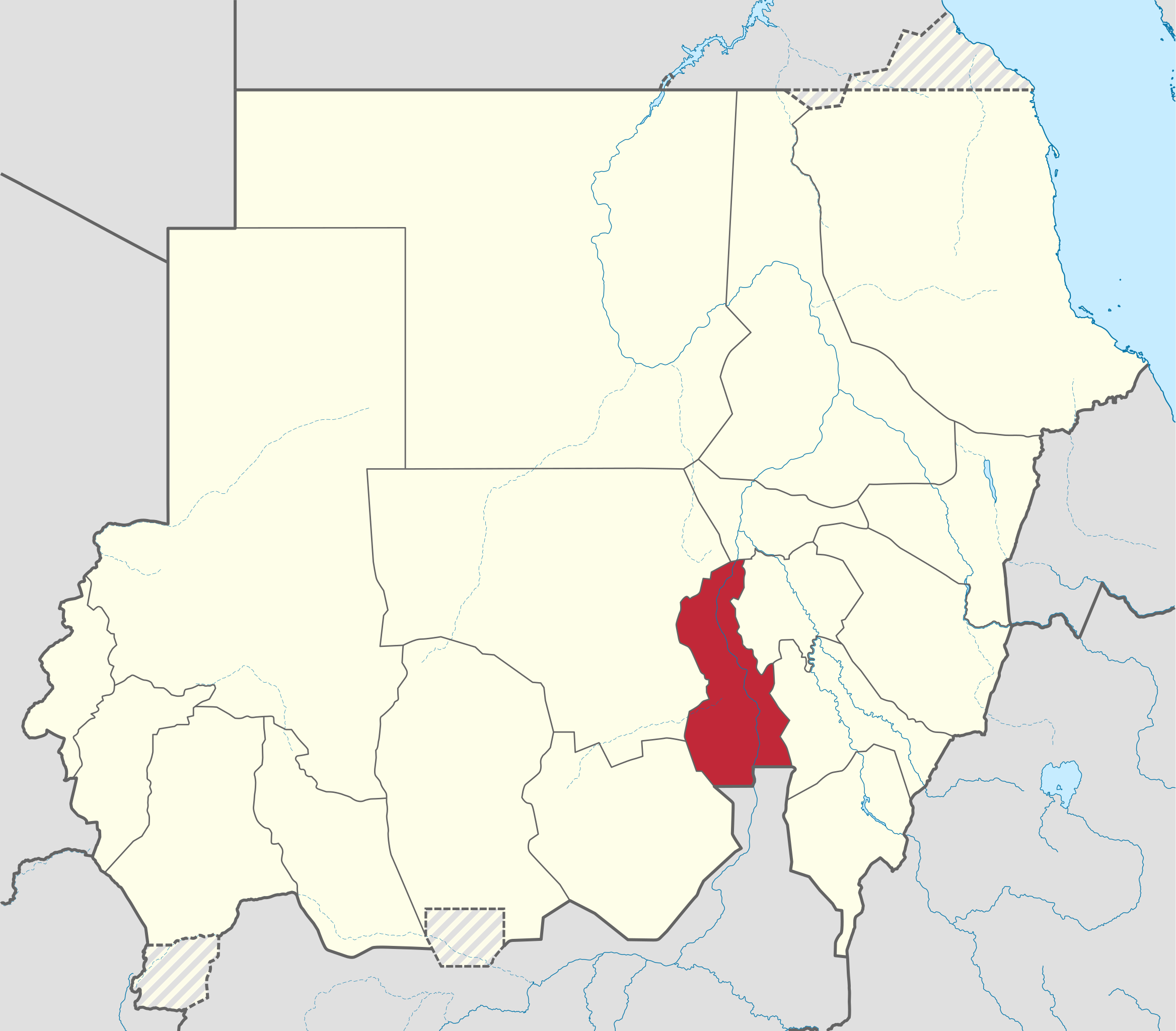
Deutsch: Lage des Staates XY (siehe Dateiname) im
Sudan.
English: Location of state xy (see filename) in
Sudan. |
||||||||||||||||||||||||||||||||||||
| Date | |||||||||||||||||||||||||||||||||||||
| Source |
Own work This W3C-unspecified
vector image was created with
Adobe Illustrator. This SVG file was uploaded with
Commonist. This
vector image includes elements that have been taken or adapted from this file:
|
||||||||||||||||||||||||||||||||||||
| Author |
TUBS
|
||||||||||||||||||||||||||||||||||||
| Other versions |
|
||||||||||||||||||||||||||||||||||||
Licensing
I, the copyright holder of this work, hereby publish it under the following license:
This file is licensed under the
Creative Commons
Attribution-Share Alike 3.0 Unported license.
- You are free:
- to share – to copy, distribute and transmit the work
- to remix – to adapt the work
- Under the following conditions:
- attribution – You must give appropriate credit, provide a link to the license, and indicate if changes were made. You may do so in any reasonable manner, but not in any way that suggests the licensor endorses you or your use.
- share alike – If you remix, transform, or build upon the material, you must distribute your contributions under the same or compatible license as the original.
|
|
I'd greatly appreciate, that you attribute this media file to Wikimedia Commons, if used outside Wikipedia or Commons. For use in publications such as books, newspapers, blogs, websites, please insert
here the following line:
|
File history
Click on a date/time to view the file as it appeared at that time.
| Date/Time | Thumbnail | Dimensions | User | Comment | |
|---|---|---|---|---|---|
| current | 11:49, 5 November 2021 |
| 1,654 × 1,450 (300 KB) | Pikne | split West Kordofan |
| 21:54, 28 January 2013 |
| 1,654 × 1,450 (345 KB) | TUBS | ||
| 16:43, 23 November 2011 |
| 1,654 × 1,450 (685 KB) | TUBS |
File usage
The following pages on the English Wikipedia use this file (pages on other projects are not listed):
Global file usage
The following other wikis use this file:
- Usage on ar.wikipedia.org
- Usage on arz.wikipedia.org
- Usage on bg.wikipedia.org
- Usage on eo.wikipedia.org
- Usage on es.wikipedia.org
- Usage on ha.wikipedia.org
- Usage on ig.wikipedia.org
- Usage on ru.wikipedia.org
- Usage on ts.wikipedia.org
- Usage on uk.wikipedia.org
- Usage on ur.wikipedia.org
- Usage on www.wikidata.org
- Usage on yo.wikipedia.org
- Usage on zu.wikipedia.org