Photos • Location


Size of this preview:
699 × 600 pixels. Other resolutions:
280 × 240 pixels |
559 × 480 pixels |
895 × 768 pixels |
1,193 × 1,024 pixels |
1,600 × 1,373 pixels.
Original file (1,600 × 1,373 pixels, file size: 245 KB, MIME type: image/jpeg)
| This is a file from the
Wikimedia Commons. Information from its
description page there is shown below. Commons is a freely licensed media file repository. You can help. |
|
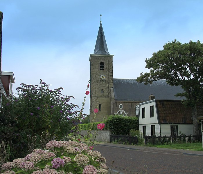
This is an image of
rijksmonument number
21492 Information from structured data: |
Summary
| Description |
English: Warns church |
| Date | |
| Source | https://plus.google.com/photos/108808898093189662446/albums/5509792258993761681/5510922434490400514?banner=pwa |
| Author | Jan Dijkstra |
| Object location |
| View this and other nearby images on: OpenStreetMap |
|
|---|
Licensing
This file is licensed under the
Creative Commons
Attribution 3.0 Unported license.
- You are free:
- to share – to copy, distribute and transmit the work
- to remix – to adapt the work
- Under the following conditions:
- attribution – You must give appropriate credit, provide a link to the license, and indicate if changes were made. You may do so in any reasonable manner, but not in any way that suggests the licensor endorses you or your use.
File history
Click on a date/time to view the file as it appeared at that time.
| Date/Time | Thumbnail | Dimensions | User | Comment | |
|---|---|---|---|---|---|
| current | 18:10, 21 December 2011 |
| 1,600 × 1,373 (245 KB) | Condor3d |
File usage
The following pages on the English Wikipedia use this file (pages on other projects are not listed):
Global file usage
The following other wikis use this file:
- Usage on ceb.wikipedia.org
- Usage on fr.wikipedia.org
- Usage on nl.wikipedia.org
- Usage on uk.wikipedia.org
- Usage on www.wikidata.org
- Usage on zh-min-nan.wikipedia.org
Metadata
Size of this preview:
699 × 600 pixels. Other resolutions:
280 × 240 pixels |
559 × 480 pixels |
895 × 768 pixels |
1,193 × 1,024 pixels |
1,600 × 1,373 pixels.
Original file (1,600 × 1,373 pixels, file size: 245 KB, MIME type: image/jpeg)
| This is a file from the
Wikimedia Commons. Information from its
description page there is shown below. Commons is a freely licensed media file repository. You can help. |
|
This is an image of
rijksmonument number
21492 Information from structured data: |
Summary
| Description |
English: Warns church |
| Date | |
| Source | https://plus.google.com/photos/108808898093189662446/albums/5509792258993761681/5510922434490400514?banner=pwa |
| Author | Jan Dijkstra |
| Object location |
| View this and other nearby images on: OpenStreetMap |
|
|---|
Licensing
This file is licensed under the
Creative Commons
Attribution 3.0 Unported license.
- You are free:
- to share – to copy, distribute and transmit the work
- to remix – to adapt the work
- Under the following conditions:
- attribution – You must give appropriate credit, provide a link to the license, and indicate if changes were made. You may do so in any reasonable manner, but not in any way that suggests the licensor endorses you or your use.
File history
Click on a date/time to view the file as it appeared at that time.
| Date/Time | Thumbnail | Dimensions | User | Comment | |
|---|---|---|---|---|---|
| current | 18:10, 21 December 2011 |
| 1,600 × 1,373 (245 KB) | Condor3d |
File usage
The following pages on the English Wikipedia use this file (pages on other projects are not listed):
Global file usage
The following other wikis use this file:
- Usage on ceb.wikipedia.org
- Usage on fr.wikipedia.org
- Usage on nl.wikipedia.org
- Usage on uk.wikipedia.org
- Usage on www.wikidata.org
- Usage on zh-min-nan.wikipedia.org