Photos • Location


Size of this preview:
800 × 536 pixels. Other resolutions:
320 × 214 pixels |
640 × 428 pixels |
1,024 × 685 pixels |
1,280 × 857 pixels |
2,560 × 1,714 pixels |
3,872 × 2,592 pixels.
Original file (3,872 × 2,592 pixels, file size: 2.48 MB, MIME type: image/jpeg)
| This is a file from the
Wikimedia Commons. Information from its
description page there is shown below. Commons is a freely licensed media file repository. You can help. |
Summary
| Object location |
| View this and other nearby images on: OpenStreetMap |
|
|---|
Licensing
User:J Clear, the copyright holder of this work, hereby publishes it under the following license:
This file is licensed under the
Creative Commons
Attribution-Share Alike 3.0 Unported license.
Attribution:
User:J Clear
- You are free:
- to share – to copy, distribute and transmit the work
- to remix – to adapt the work
- Under the following conditions:
- attribution – You must give appropriate credit, provide a link to the license, and indicate if changes were made. You may do so in any reasonable manner, but not in any way that suggests the licensor endorses you or your use.
- share alike – If you remix, transform, or build upon the material, you must distribute your contributions under the same or compatible license as the original.
Original upload log
Transferred from en.wikipedia to Commons using For the Common Good.
The original description page was
here. All following user names refer to en.wikipedia.
| Date/Time | Dimensions | User | Comment |
|---|---|---|---|
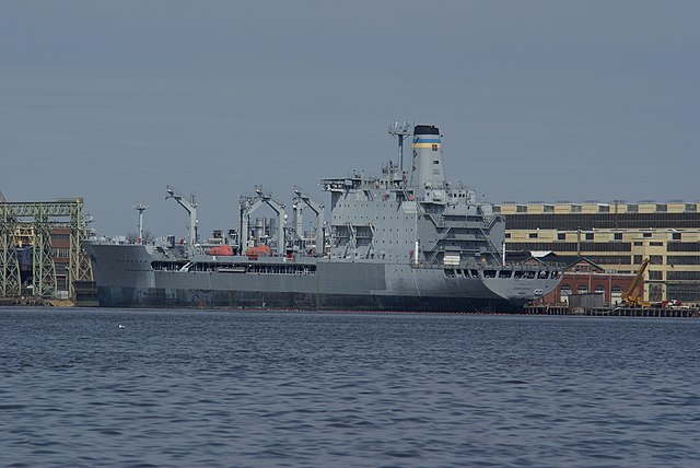
| 01:30, 23 March 2008 | 3,872 × 2,592 (2,599,202 bytes) | w:en:J Clear ( talk | contribs) | {{Information |Description= {{USNS|Joshua Humphreys|T-AO-188}} at the [[Naval Inactive Ship Maintenance Facility]], [[Philadelphia Navy Yard]], [[Delaware River]] |Source=self-made |Date= [[22 March]] [[2008]] |Location= {{Coord|39|57|06|N|75|10|54|W|typ |
File history
Click on a date/time to view the file as it appeared at that time.
| Date/Time | Thumbnail | Dimensions | User | Comment | |
|---|---|---|---|---|---|
| current | 23:59, 30 June 2016 |
| 3,872 × 2,592 (2.48 MB) | Mati7 | Transferred from en.wikipedia: see original upload log above |
File usage
The following pages on the English Wikipedia use this file (pages on other projects are not listed):
Metadata
Size of this preview:
800 × 536 pixels. Other resolutions:
320 × 214 pixels |
640 × 428 pixels |
1,024 × 685 pixels |
1,280 × 857 pixels |
2,560 × 1,714 pixels |
3,872 × 2,592 pixels.
Original file (3,872 × 2,592 pixels, file size: 2.48 MB, MIME type: image/jpeg)
| This is a file from the
Wikimedia Commons. Information from its
description page there is shown below. Commons is a freely licensed media file repository. You can help. |
Summary
| Object location |
| View this and other nearby images on: OpenStreetMap |
|
|---|
Licensing
User:J Clear, the copyright holder of this work, hereby publishes it under the following license:
This file is licensed under the
Creative Commons
Attribution-Share Alike 3.0 Unported license.
Attribution:
User:J Clear
- You are free:
- to share – to copy, distribute and transmit the work
- to remix – to adapt the work
- Under the following conditions:
- attribution – You must give appropriate credit, provide a link to the license, and indicate if changes were made. You may do so in any reasonable manner, but not in any way that suggests the licensor endorses you or your use.
- share alike – If you remix, transform, or build upon the material, you must distribute your contributions under the same or compatible license as the original.
Original upload log
Transferred from en.wikipedia to Commons using For the Common Good.
The original description page was
here. All following user names refer to en.wikipedia.
| Date/Time | Dimensions | User | Comment |
|---|---|---|---|
| 01:30, 23 March 2008 | 3,872 × 2,592 (2,599,202 bytes) | w:en:J Clear ( talk | contribs) | {{Information |Description= {{USNS|Joshua Humphreys|T-AO-188}} at the [[Naval Inactive Ship Maintenance Facility]], [[Philadelphia Navy Yard]], [[Delaware River]] |Source=self-made |Date= [[22 March]] [[2008]] |Location= {{Coord|39|57|06|N|75|10|54|W|typ |
File history
Click on a date/time to view the file as it appeared at that time.
| Date/Time | Thumbnail | Dimensions | User | Comment | |
|---|---|---|---|---|---|
| current | 23:59, 30 June 2016 |
| 3,872 × 2,592 (2.48 MB) | Mati7 | Transferred from en.wikipedia: see original upload log above |
File usage
The following pages on the English Wikipedia use this file (pages on other projects are not listed):