
Original file (SVG file, nominally 868 × 1,031 pixels, file size: 175 KB)
| This is a file from the
Wikimedia Commons. Information from its
description page there is shown below. Commons is a freely licensed media file repository. You can help. |
Summary
| Description |
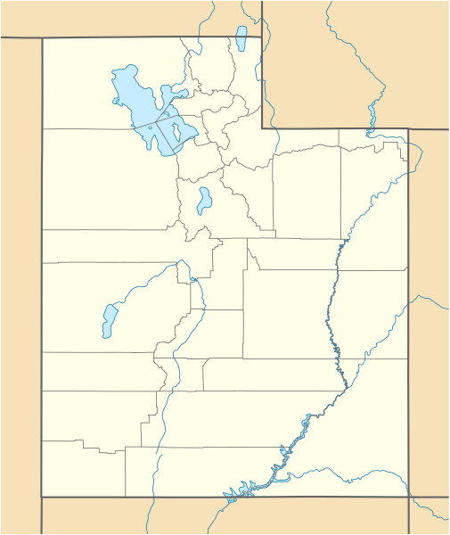
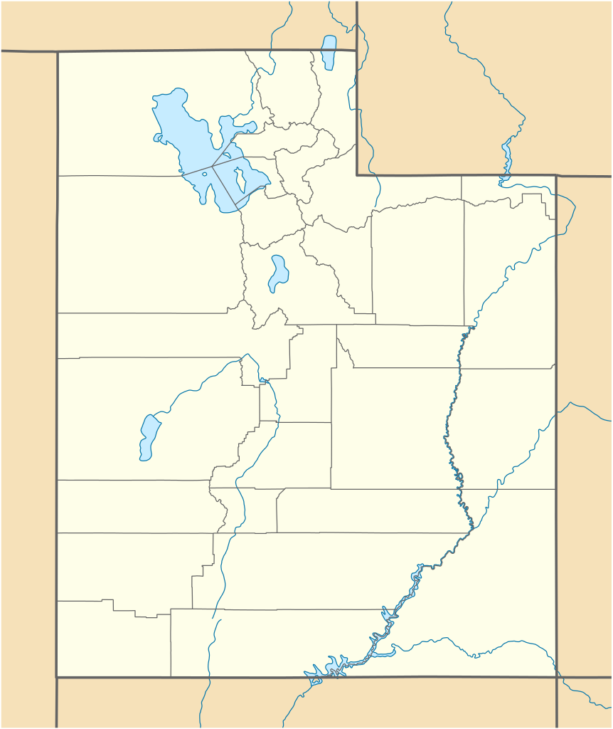
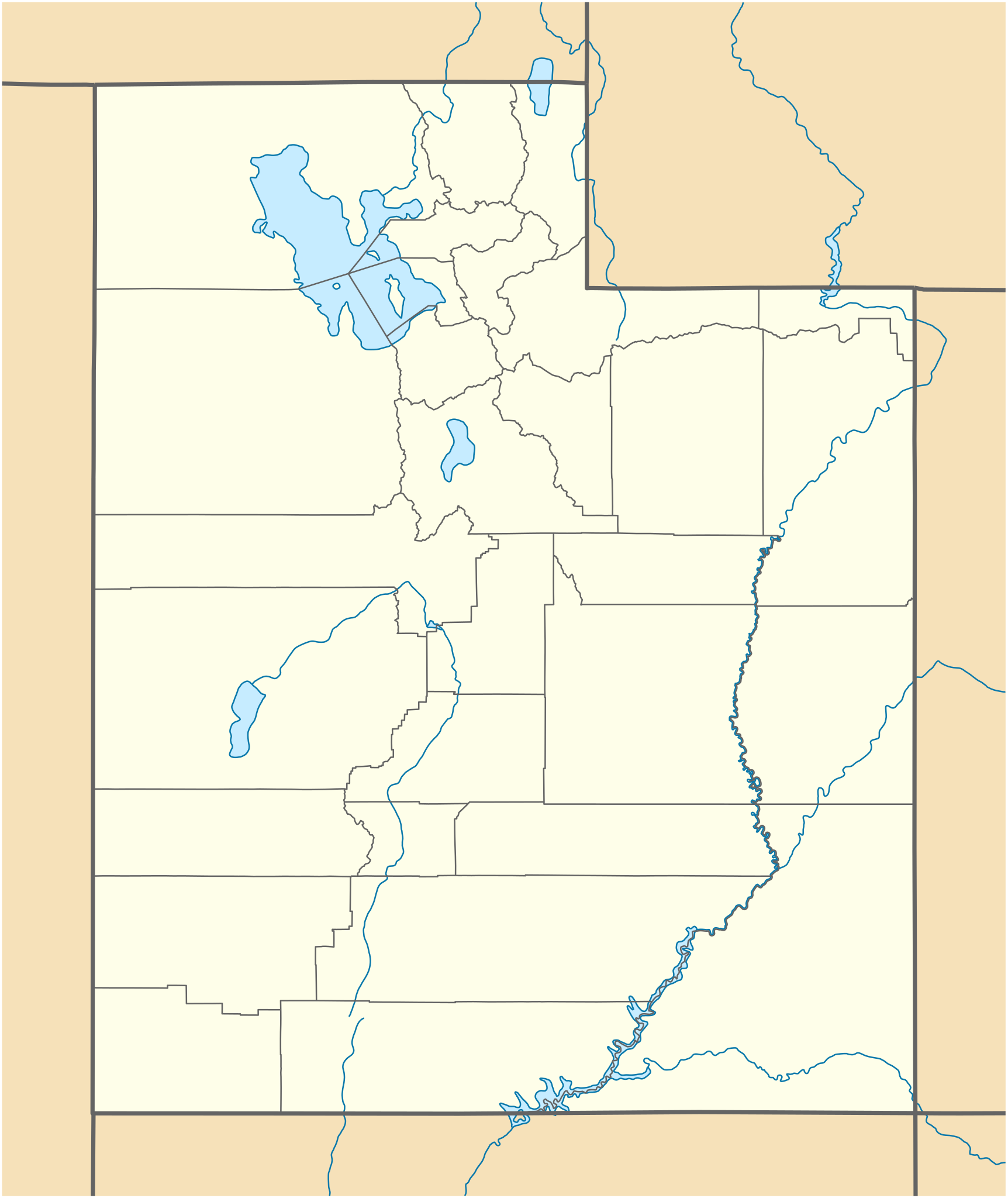
Quadratische Plattkarte, N-S-Streckung 125 %. Geographische Begrenzung der Karte:
Equirectangular projection, N/S stretching 125 %. Geographic limits of the map:
|
| Date | 09-06-2009 |
| Source |
own work, using
|
| Author | NordNordWest |
| Other versions |
Derivative works of this file: |

|
This map has been made or improved in the German
Kartenwerkstatt (Map Lab). You can
propose maps to improve as well.
|
Licensing

|
Permission is granted to copy, distribute and/or modify this document under the terms of the GNU Free Documentation License, Version 1.2 or any later version published by the Free Software Foundation; with no Invariant Sections, no Front-Cover Texts, and no Back-Cover Texts. A copy of the license is included in the section entitled GNU Free Documentation License. |
- You are free:
- to share – to copy, distribute and transmit the work
- to remix – to adapt the work
- Under the following conditions:
- attribution – You must give appropriate credit, provide a link to the license, and indicate if changes were made. You may do so in any reasonable manner, but not in any way that suggests the licensor endorses you or your use.
File history
Click on a date/time to view the file as it appeared at that time.
| Date/Time | Thumbnail | Dimensions | User | Comment | |
|---|---|---|---|---|---|
| current | 15:34, 15 June 2015 |
| 868 × 1,031 (175 KB) | NordNordWest | Reverted to version as of 12:08, 12 December 2010; please upload it as a new file |
| 14:48, 15 June 2015 |
 | 868 × 1,031 (289 KB) | Prinsgezinde | Reverted to version as of 14:44, 15 June 2015 | |
| 14:47, 15 June 2015 |
 | 868 × 1,031 (289 KB) | Prinsgezinde | As per revert | |
| 14:44, 15 June 2015 |
 | 868 × 1,031 (289 KB) | Prinsgezinde | Reverted to version as of 06:39, 12 December 2010 - Unhelpful revert, change was requested and is appreciated | |
| 12:08, 12 December 2010 |
 | 868 × 1,031 (175 KB) | NordNordWest | no discussion, no change | |
| 06:39, 12 December 2010 |
 | 868 × 1,031 (289 KB) | Moabdave | Added inset to show location of Utah. Inset derived from File:Map_of_USA_UT.svg. Change made per request at FAC for en:Thistle Utah. | |
| 18:09, 9 June 2009 |
 | 868 × 1,031 (175 KB) | NordNordWest | {{Information |Description= {{de|Positionskarte von Utah, USA}} Quadratische Plattkarte, N-S-Streckung 125 %. Geographische Begrenzung der Karte: * N: 42.4° N * S: 36.6° N * W: 114.6° W * O: 108.5° W {{en|Location map of [[:en |
File usage
More than 100 pages use this file. The following list shows the first 100 pages that use this file only. A full list is available.
- Alfred McCune Home
- Altamont, Utah
- American Fork, Utah
- Apple Valley, Utah
- Aurora, Utah
- Balanced Rock
- Bear River Migratory Bird Refuge
- Beaver, Utah
- Beryl, Utah
- Big Cottonwood Canyon
- Bigelow-Ben Lomond Hotel
- Bingham Canyon Mine
- Bonneville Salt Flats
- Bonneville Speedway
- Bountiful Utah Temple
- Camp Floyd State Park Museum
- Canyon Rim, Utah
- Cathedral of the Madeleine
- Cedar City Regional Airport
- Church Rock (Utah)
- Cisco, Utah
- Cottonwood Paper Mill
- Cove Fort
- Crystal Geyser
- Dead Horse Point State Park
- Delicate Arch
- Desert Biosphere Reserve
- Desert Star Theater
- Double Arch (Utah)
- Draper Utah Temple
- Eccles Avenue Historic District
- Emigration Canyon, Utah
- Escalante Desert
- EskDale, Utah
- Eureka, Utah
- Fillmore, Utah
- Fort Douglas
- Fry Canyon, Utah
- Goulding's Lodge
- Grandstaff Canyon
- Great Salt Lake Desert
- Grosvenor Arch
- Hamiltons Fort, Utah
- Hiawatha, Utah
- Holladay, Utah
- Holy Trinity Cathedral (Salt Lake City)
- Iosepa, Utah
- Jefferson Avenue Historic District (Ogden, Utah)
- John Moses Browning House
- John Williams Gunnison
- Jordan River Utah Temple
- Joseph Smith Memorial Building
- Jurassic National Monument
- Keetley, Utah
- Kolob Arch
- Landscape Arch
- List of Utah State Parks
- Little Sahara Recreation Area
- Logan Utah Temple
- Lucin Cutoff
- Lund, Utah
- Maeser Elementary
- Manti Utah Temple
- Monticello Utah Temple
- Mount Carmel Junction, Utah
- Mount Pleasant, Utah
- Mount Timpanogos Utah Temple
- Mountain Meadows Massacre
- Murray Theater (Murray, Utah)
- Natural Bridges National Monument
- Ogden Utah Temple
- Partoun, Utah
- Promontory Point (Utah)
- Provo Utah Temple
- Red Butte Garden and Arboretum
- Rush Valley
- Salt Lake City Council Hall
- Salt Lake City Union Pacific Depot
- Salt Lake City and County Building
- Salt Lake Temple
- Saltair (Utah)
- Sipapu Bridge
- Spring City, Utah
- Springville Museum of Art
- Stimper Arch
- Temple Square
- The Avenues, Salt Lake City
- The Subway (Zion National Park)
- Thistle, Utah
- Tintic Standard Reduction Mill
- Union Station (Ogden, Utah)
- Upheaval Dome
- Utah System of Higher Education
- Utah Territorial Statehouse
- Vernal Utah Temple
- Wasatch Academy
- Wendover Air Force Base
- Westwater Canyon
- Wilson Arch
- Woodland, Utah
View more links to this file.
Global file usage
The following other wikis use this file:
- Usage on an.wikipedia.org
- Usage on ar.wikipedia.org
- Usage on ast.wikipedia.org
- Usage on azb.wikipedia.org
- کانیون ریم
- ولف کریک، یوتا
- اقنوق، یوتا
- بالفراق، یوتا
- بریل، یوتا
- داک کریک ویلج، یوتا
- لاپوینت، یوتا
- ماونت کارمل جانکشن، یوتا
- اسکدیل، یوتا
- باربانک، یوتا
- مودنا، یوتا
- لاند، یوتا
- قروور، یوتا
- بلومینقتون، یوتا
- کرویدون، یوتا
- وست وبر، یوتا
- قرینویل، یوتا
- کالاو، یوتا
- آدامزویل، یوتا
- مونتاین هوم، یوتا
- آجاکس، یوتا
- واهساچ، یوتا
- تالمئیج، یوتا
- آلتامونت، یوتا
- وارن، یوتا
- واشاکی، یوتا
- آلتوناه، یوتا
- ترئیس، یوتا
- آلونیت، یوتا
- آمریکان فورک، یوتا
- تیکابو، یوتا
- آپل والئی، یوتا
- ورای، یوتا
- آورورا، یوتا
- آکستل، یوتا
- امیقراشن کانیون، یوتا
- پارک والئی، یوتا
- پارتون، یوتا
- تریدل، یوتا
- تروت کریک، یوتا
- وزت والئی سیتی، یوتا
- پنروز، یوتا
- توکر، یوتا
- پترزون، یوتا
View more global usage of this file.
Metadata
Original file (SVG file, nominally 868 × 1,031 pixels, file size: 175 KB)
| This is a file from the
Wikimedia Commons. Information from its
description page there is shown below. Commons is a freely licensed media file repository. You can help. |
Summary
| Description |
Quadratische Plattkarte, N-S-Streckung 125 %. Geographische Begrenzung der Karte:
Equirectangular projection, N/S stretching 125 %. Geographic limits of the map:
|
| Date | 09-06-2009 |
| Source |
own work, using
|
| Author | NordNordWest |
| Other versions |
Derivative works of this file: |
|
|
This map has been made or improved in the German
Kartenwerkstatt (Map Lab). You can
propose maps to improve as well.
|
Licensing
|
|
Permission is granted to copy, distribute and/or modify this document under the terms of the GNU Free Documentation License, Version 1.2 or any later version published by the Free Software Foundation; with no Invariant Sections, no Front-Cover Texts, and no Back-Cover Texts. A copy of the license is included in the section entitled GNU Free Documentation License. |
- You are free:
- to share – to copy, distribute and transmit the work
- to remix – to adapt the work
- Under the following conditions:
- attribution – You must give appropriate credit, provide a link to the license, and indicate if changes were made. You may do so in any reasonable manner, but not in any way that suggests the licensor endorses you or your use.
File history
Click on a date/time to view the file as it appeared at that time.
| Date/Time | Thumbnail | Dimensions | User | Comment | |
|---|---|---|---|---|---|
| current | 15:34, 15 June 2015 |
| 868 × 1,031 (175 KB) | NordNordWest | Reverted to version as of 12:08, 12 December 2010; please upload it as a new file |
| 14:48, 15 June 2015 |
| 868 × 1,031 (289 KB) | Prinsgezinde | Reverted to version as of 14:44, 15 June 2015 | |
| 14:47, 15 June 2015 |
| 868 × 1,031 (289 KB) | Prinsgezinde | As per revert | |
| 14:44, 15 June 2015 |
| 868 × 1,031 (289 KB) | Prinsgezinde | Reverted to version as of 06:39, 12 December 2010 - Unhelpful revert, change was requested and is appreciated | |
| 12:08, 12 December 2010 |
| 868 × 1,031 (175 KB) | NordNordWest | no discussion, no change | |
| 06:39, 12 December 2010 |
| 868 × 1,031 (289 KB) | Moabdave | Added inset to show location of Utah. Inset derived from File:Map_of_USA_UT.svg. Change made per request at FAC for en:Thistle Utah. | |
| 18:09, 9 June 2009 |
| 868 × 1,031 (175 KB) | NordNordWest | {{Information |Description= {{de|Positionskarte von Utah, USA}} Quadratische Plattkarte, N-S-Streckung 125 %. Geographische Begrenzung der Karte: * N: 42.4° N * S: 36.6° N * W: 114.6° W * O: 108.5° W {{en|Location map of [[:en |
File usage
More than 100 pages use this file. The following list shows the first 100 pages that use this file only. A full list is available.
- Alfred McCune Home
- Altamont, Utah
- American Fork, Utah
- Apple Valley, Utah
- Aurora, Utah
- Balanced Rock
- Bear River Migratory Bird Refuge
- Beaver, Utah
- Beryl, Utah
- Big Cottonwood Canyon
- Bigelow-Ben Lomond Hotel
- Bingham Canyon Mine
- Bonneville Salt Flats
- Bonneville Speedway
- Bountiful Utah Temple
- Camp Floyd State Park Museum
- Canyon Rim, Utah
- Cathedral of the Madeleine
- Cedar City Regional Airport
- Church Rock (Utah)
- Cisco, Utah
- Cottonwood Paper Mill
- Cove Fort
- Crystal Geyser
- Dead Horse Point State Park
- Delicate Arch
- Desert Biosphere Reserve
- Desert Star Theater
- Double Arch (Utah)
- Draper Utah Temple
- Eccles Avenue Historic District
- Emigration Canyon, Utah
- Escalante Desert
- EskDale, Utah
- Eureka, Utah
- Fillmore, Utah
- Fort Douglas
- Fry Canyon, Utah
- Goulding's Lodge
- Grandstaff Canyon
- Great Salt Lake Desert
- Grosvenor Arch
- Hamiltons Fort, Utah
- Hiawatha, Utah
- Holladay, Utah
- Holy Trinity Cathedral (Salt Lake City)
- Iosepa, Utah
- Jefferson Avenue Historic District (Ogden, Utah)
- John Moses Browning House
- John Williams Gunnison
- Jordan River Utah Temple
- Joseph Smith Memorial Building
- Jurassic National Monument
- Keetley, Utah
- Kolob Arch
- Landscape Arch
- List of Utah State Parks
- Little Sahara Recreation Area
- Logan Utah Temple
- Lucin Cutoff
- Lund, Utah
- Maeser Elementary
- Manti Utah Temple
- Monticello Utah Temple
- Mount Carmel Junction, Utah
- Mount Pleasant, Utah
- Mount Timpanogos Utah Temple
- Mountain Meadows Massacre
- Murray Theater (Murray, Utah)
- Natural Bridges National Monument
- Ogden Utah Temple
- Partoun, Utah
- Promontory Point (Utah)
- Provo Utah Temple
- Red Butte Garden and Arboretum
- Rush Valley
- Salt Lake City Council Hall
- Salt Lake City Union Pacific Depot
- Salt Lake City and County Building
- Salt Lake Temple
- Saltair (Utah)
- Sipapu Bridge
- Spring City, Utah
- Springville Museum of Art
- Stimper Arch
- Temple Square
- The Avenues, Salt Lake City
- The Subway (Zion National Park)
- Thistle, Utah
- Tintic Standard Reduction Mill
- Union Station (Ogden, Utah)
- Upheaval Dome
- Utah System of Higher Education
- Utah Territorial Statehouse
- Vernal Utah Temple
- Wasatch Academy
- Wendover Air Force Base
- Westwater Canyon
- Wilson Arch
- Woodland, Utah
View more links to this file.
Global file usage
The following other wikis use this file:
- Usage on an.wikipedia.org
- Usage on ar.wikipedia.org
- Usage on ast.wikipedia.org
- Usage on azb.wikipedia.org
- کانیون ریم
- ولف کریک، یوتا
- اقنوق، یوتا
- بالفراق، یوتا
- بریل، یوتا
- داک کریک ویلج، یوتا
- لاپوینت، یوتا
- ماونت کارمل جانکشن، یوتا
- اسکدیل، یوتا
- باربانک، یوتا
- مودنا، یوتا
- لاند، یوتا
- قروور، یوتا
- بلومینقتون، یوتا
- کرویدون، یوتا
- وست وبر، یوتا
- قرینویل، یوتا
- کالاو، یوتا
- آدامزویل، یوتا
- مونتاین هوم، یوتا
- آجاکس، یوتا
- واهساچ، یوتا
- تالمئیج، یوتا
- آلتامونت، یوتا
- وارن، یوتا
- واشاکی، یوتا
- آلتوناه، یوتا
- ترئیس، یوتا
- آلونیت، یوتا
- آمریکان فورک، یوتا
- تیکابو، یوتا
- آپل والئی، یوتا
- ورای، یوتا
- آورورا، یوتا
- آکستل، یوتا
- امیقراشن کانیون، یوتا
- پارک والئی، یوتا
- پارتون، یوتا
- تریدل، یوتا
- تروت کریک، یوتا
- وزت والئی سیتی، یوتا
- پنروز، یوتا
- توکر، یوتا
- پترزون، یوتا
View more global usage of this file.