Original file (1,600 × 1,200 pixels, file size: 719 KB, MIME type: image/jpeg)
| This is a file from the
Wikimedia Commons. Information from its
description page there is shown below. Commons is a freely licensed media file repository. You can help. |
Summary
| Description |
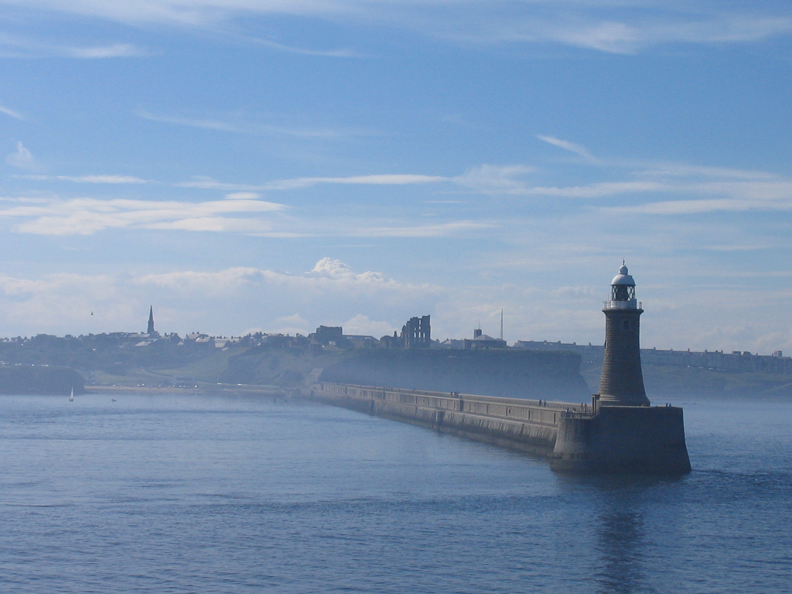
A lighthouse in Tynemouth, North Tyneside
|
||||
| Date | |||||
| Source | Own work (Originally uploaded to Commons by User:T0m as Image:South Shields Lighthouse.jpg, incorrect town name) | ||||
| Author | Sarah Gardiner | ||||
| Permission ( Reusing this file) |
Public Domain |
Licensing
| This work has been released into the
public domain by its author,
Special:Contributions/T0m. This applies worldwide. In some countries this may not be legally possible; if so: |
File history
Click on a date/time to view the file as it appeared at that time.
| Date/Time | Thumbnail | Dimensions | User | Comment | |
|---|---|---|---|---|---|
| current | 14:42, 16 August 2007 |
| 1,600 × 1,200 (719 KB) | Responsible? | == Summary == {{Information |Description=A lighthouse in Tynemouth, North Tyneside |Source=Own work (Originally uploaded to Commons by User:T0m as Image:South Shields Lighthouse.jpg, incorrect town name) |Date=2006-12-26 |Aut |
File usage
Global file usage
The following other wikis use this file:
Metadata
Original file (1,600 × 1,200 pixels, file size: 719 KB, MIME type: image/jpeg)
| This is a file from the
Wikimedia Commons. Information from its
description page there is shown below. Commons is a freely licensed media file repository. You can help. |
Summary
| Description |
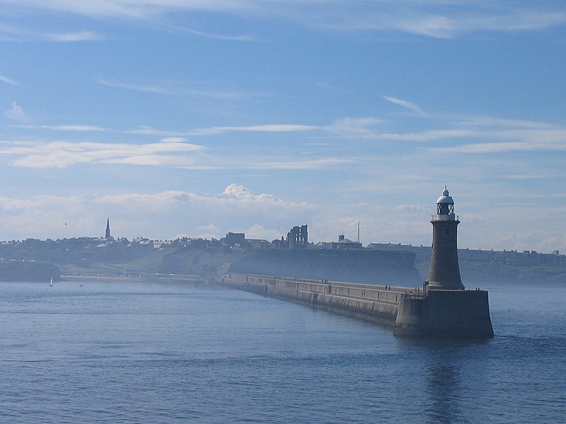
A lighthouse in Tynemouth, North Tyneside
|
||||
| Date | |||||
| Source | Own work (Originally uploaded to Commons by User:T0m as Image:South Shields Lighthouse.jpg, incorrect town name) | ||||
| Author | Sarah Gardiner | ||||
| Permission ( Reusing this file) |
Public Domain |
Licensing
| This work has been released into the
public domain by its author,
Special:Contributions/T0m. This applies worldwide. In some countries this may not be legally possible; if so: |
File history
Click on a date/time to view the file as it appeared at that time.
| Date/Time | Thumbnail | Dimensions | User | Comment | |
|---|---|---|---|---|---|
| current | 14:42, 16 August 2007 |
| 1,600 × 1,200 (719 KB) | Responsible? | == Summary == {{Information |Description=A lighthouse in Tynemouth, North Tyneside |Source=Own work (Originally uploaded to Commons by User:T0m as Image:South Shields Lighthouse.jpg, incorrect town name) |Date=2006-12-26 |Aut |
File usage
Global file usage
The following other wikis use this file: