Tiawah_aerial_photo.png (799 × 600 pixels, file size: 391 KB, MIME type: image/png)
Summary
| Description |
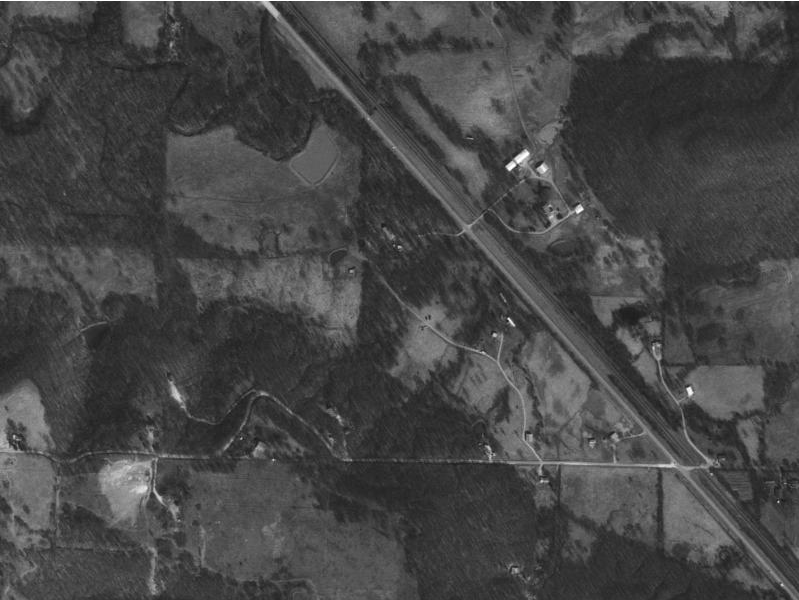
Tiawah, Oklahoma, aerial photo | ||
|---|---|---|---|
| Source |
Aerial photo was made by the US Geological Survey and is in the public domain. | ||
| Date | |||
| Author |
| ||
| Permission ( Reusing this file) |
See below.
|
Licensing
| This image is a work of a United States Geological Survey employee, taken or made as part of that person's official duties. As a work of the United States Government, the image is in the public domain in the US. For more information, see the USGS copyright policy. See Wikipedia:Public domain and Wikipedia:Copyrights for more details. |
|
 | This file is a candidate to be copied to
Wikimedia Commons.
Any user may perform this transfer; refer to Wikipedia:Moving files to Commons for details. If this file has problems with attribution, copyright, or is otherwise ineligible for Commons, then remove this tag and DO NOT transfer it; repeat violators may be blocked from editing. Other Instructions
| ||
| |||
File history
Click on a date/time to view the file as it appeared at that time.
| Date/Time | Thumbnail | Dimensions | User | Comment | |
|---|---|---|---|---|---|
| current | 21:54, 2 February 2007 |
| 799 × 600 (391 KB) | OKtag ( talk | contribs) | Aerial photo was made by the US Geological Survey and is in the public domain. |
You cannot overwrite this file.
File usage
Tiawah_aerial_photo.png (799 × 600 pixels, file size: 391 KB, MIME type: image/png)
Summary
| Description |
Tiawah, Oklahoma, aerial photo | ||
|---|---|---|---|
| Source |
Aerial photo was made by the US Geological Survey and is in the public domain. | ||
| Date | |||
| Author |
| ||
| Permission ( Reusing this file) |
See below.
|
Licensing
| This image is a work of a United States Geological Survey employee, taken or made as part of that person's official duties. As a work of the United States Government, the image is in the public domain in the US. For more information, see the USGS copyright policy. See Wikipedia:Public domain and Wikipedia:Copyrights for more details. |
|
|
| This file is a candidate to be copied to
Wikimedia Commons.
Any user may perform this transfer; refer to Wikipedia:Moving files to Commons for details. If this file has problems with attribution, copyright, or is otherwise ineligible for Commons, then remove this tag and DO NOT transfer it; repeat violators may be blocked from editing. Other Instructions
| ||
| |||
File history
Click on a date/time to view the file as it appeared at that time.
| Date/Time | Thumbnail | Dimensions | User | Comment | |
|---|---|---|---|---|---|
| current | 21:54, 2 February 2007 |
| 799 × 600 (391 KB) | OKtag ( talk | contribs) | Aerial photo was made by the US Geological Survey and is in the public domain. |
You cannot overwrite this file.