Photos • Location


Size of this preview:
800 × 533 pixels. Other resolutions:
320 × 213 pixels |
640 × 427 pixels |
1,024 × 683 pixels |
1,280 × 853 pixels |
1,920 × 1,280 pixels.
Original file (1,920 × 1,280 pixels, file size: 1.24 MB, MIME type: image/jpeg)
| This is a file from the
Wikimedia Commons. Information from its
description page there is shown below. Commons is a freely licensed media file repository. You can help. |
| Description | |||
| Date | |||
| Source | Own work | ||
| Author |
Batholith (Wikimedia Commons) Batholith (Wikipedia) |
||
| Permission ( Reusing this file) |
|
| Camera location |
| View this and other nearby images on: OpenStreetMap |
|
|---|
File history
Click on a date/time to view the file as it appeared at that time.
| Date/Time | Thumbnail | Dimensions | User | Comment | |
|---|---|---|---|---|---|
| current | 18:16, 26 September 2012 |
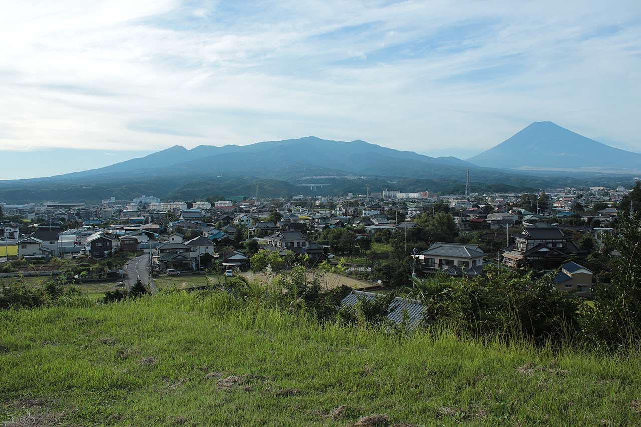
| 1,920 × 1,280 (1.24 MB) | Batholith | {{Information |Description= {{en|View of Susono city, Shizuoka prefecture, Japan.}} {{ja| 静岡県 裾野市の風景。}} |Source={{Own}} |Author=... |
File usage
The following pages on the English Wikipedia use this file (pages on other projects are not listed):
Global file usage
The following other wikis use this file:
Metadata
Size of this preview:
800 × 533 pixels. Other resolutions:
320 × 213 pixels |
640 × 427 pixels |
1,024 × 683 pixels |
1,280 × 853 pixels |
1,920 × 1,280 pixels.
Original file (1,920 × 1,280 pixels, file size: 1.24 MB, MIME type: image/jpeg)
| This is a file from the
Wikimedia Commons. Information from its
description page there is shown below. Commons is a freely licensed media file repository. You can help. |
| Description | |||
| Date | |||
| Source | Own work | ||
| Author |
Batholith (Wikimedia Commons) Batholith (Wikipedia) |
||
| Permission ( Reusing this file) |
|
| Camera location |
| View this and other nearby images on: OpenStreetMap |
|
|---|
File history
Click on a date/time to view the file as it appeared at that time.
| Date/Time | Thumbnail | Dimensions | User | Comment | |
|---|---|---|---|---|---|
| current | 18:16, 26 September 2012 |
| 1,920 × 1,280 (1.24 MB) | Batholith | {{Information |Description= {{en|View of Susono city, Shizuoka prefecture, Japan.}} {{ja| 静岡県 裾野市の風景。}} |Source={{Own}} |Author=... |
File usage
The following pages on the English Wikipedia use this file (pages on other projects are not listed):
Global file usage
The following other wikis use this file: