Photos • Location


Size of this preview:
800 × 600 pixels. Other resolutions:
320 × 240 pixels |
640 × 480 pixels |
1,024 × 768 pixels |
1,280 × 960 pixels |
2,000 × 1,500 pixels.
Original file (2,000 × 1,500 pixels, file size: 1.4 MB, MIME type: image/jpeg)
| This is a file from the
Wikimedia Commons. Information from its
description page there is shown below. Commons is a freely licensed media file repository. You can help. |
Summary
| Description | |
| Date | |
| Source | Own work |
| Author | Tak1701d |
| Camera location | | View this and other nearby images on: OpenStreetMap |
|
|---|
Licensing
| I, the copyright holder of this work, release this work into the
public domain. This applies worldwide. In some countries this may not be legally possible; if so: I grant anyone the right to use this work for any purpose, without any conditions, unless such conditions are required by law. |
File history
Click on a date/time to view the file as it appeared at that time.
| Date/Time | Thumbnail | Dimensions | User | Comment | |
|---|---|---|---|---|---|
| current | 22:27, 11 April 2009 |
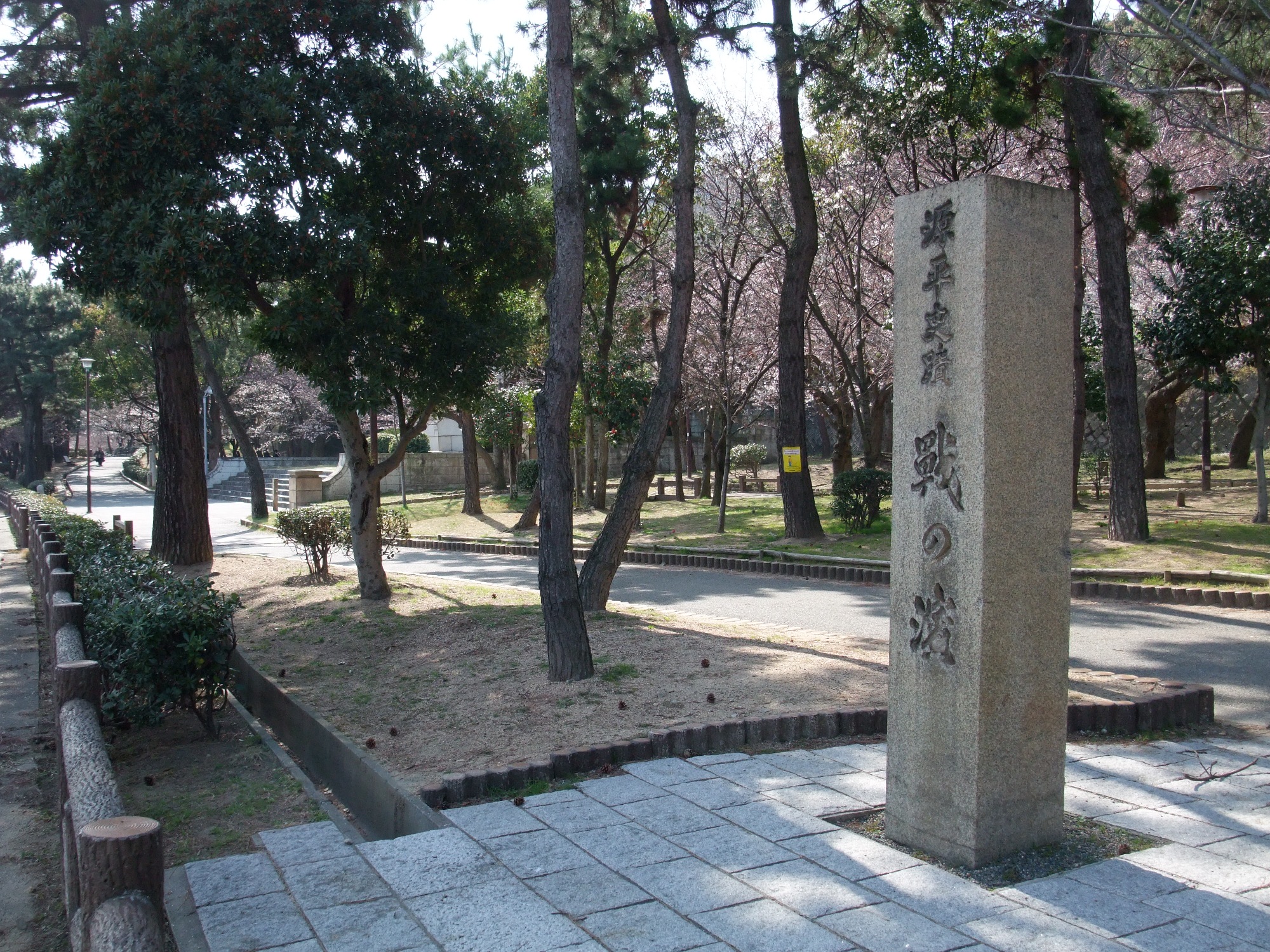
| 2,000 × 1,500 (1.4 MB) | Tak1701d | {{Information |Description={{en|1=Monument of " Battle of Ichi-no-Tani" in Sumaura Park, Kobe}} {{ja|1= 一ノ谷古戦場・戦の濱碑 ( 須磨浦公園)}} |
File usage
The following pages on the English Wikipedia use this file (pages on other projects are not listed):
Global file usage
The following other wikis use this file:
- Usage on ar.wikipedia.org
- Usage on ja.wikipedia.org
- Usage on pl.wikipedia.org
Metadata
Size of this preview:
800 × 600 pixels. Other resolutions:
320 × 240 pixels |
640 × 480 pixels |
1,024 × 768 pixels |
1,280 × 960 pixels |
2,000 × 1,500 pixels.
Original file (2,000 × 1,500 pixels, file size: 1.4 MB, MIME type: image/jpeg)
| This is a file from the
Wikimedia Commons. Information from its
description page there is shown below. Commons is a freely licensed media file repository. You can help. |
Summary
| Description | |
| Date | |
| Source | Own work |
| Author | Tak1701d |
| Camera location | | View this and other nearby images on: OpenStreetMap |
|
|---|
Licensing
| I, the copyright holder of this work, release this work into the
public domain. This applies worldwide. In some countries this may not be legally possible; if so: I grant anyone the right to use this work for any purpose, without any conditions, unless such conditions are required by law. |
File history
Click on a date/time to view the file as it appeared at that time.
| Date/Time | Thumbnail | Dimensions | User | Comment | |
|---|---|---|---|---|---|
| current | 22:27, 11 April 2009 |
| 2,000 × 1,500 (1.4 MB) | Tak1701d | {{Information |Description={{en|1=Monument of " Battle of Ichi-no-Tani" in Sumaura Park, Kobe}} {{ja|1= 一ノ谷古戦場・戦の濱碑 ( 須磨浦公園)}} |
File usage
The following pages on the English Wikipedia use this file (pages on other projects are not listed):
Global file usage
The following other wikis use this file:
- Usage on ar.wikipedia.org
- Usage on ja.wikipedia.org
- Usage on pl.wikipedia.org