
Size of this PNG preview of this SVG file:
800 × 520 pixels. Other resolutions:
320 × 208 pixels |
640 × 416 pixels |
1,024 × 666 pixels |
1,280 × 833 pixels |
2,560 × 1,665 pixels |
1,425 × 927 pixels.
Original file (SVG file, nominally 1,425 × 927 pixels, file size: 1.5 MB)
| This is a file from the
Wikimedia Commons. Information from its
description page there is shown below. Commons is a freely licensed media file repository. You can help. |
.svg)
| Description |
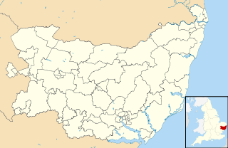
Blank map of Suffolk, UK with electoral divisions shown. Equirectangular map projection on WGS 84 datum, with N/S stretched 160% Geographic limits:
|
| Date | |
| Source |
|
| Author | Nilfanion, created using Ordnance Survey data |
| Permission ( Reusing this file) |
This file is licensed under the
Creative Commons
Attribution-Share Alike 3.0 Unported license. Attribution: Contains Ordnance Survey data © Crown copyright and database right
|
| Other versions | Derivative works of this file: Suffolk UK local election 2009 map.svg |
File history
Click on a date/time to view the file as it appeared at that time.
| Date/Time | Thumbnail | Dimensions | User | Comment | |
|---|---|---|---|---|---|
| current | 00:46, 10 October 2010 |
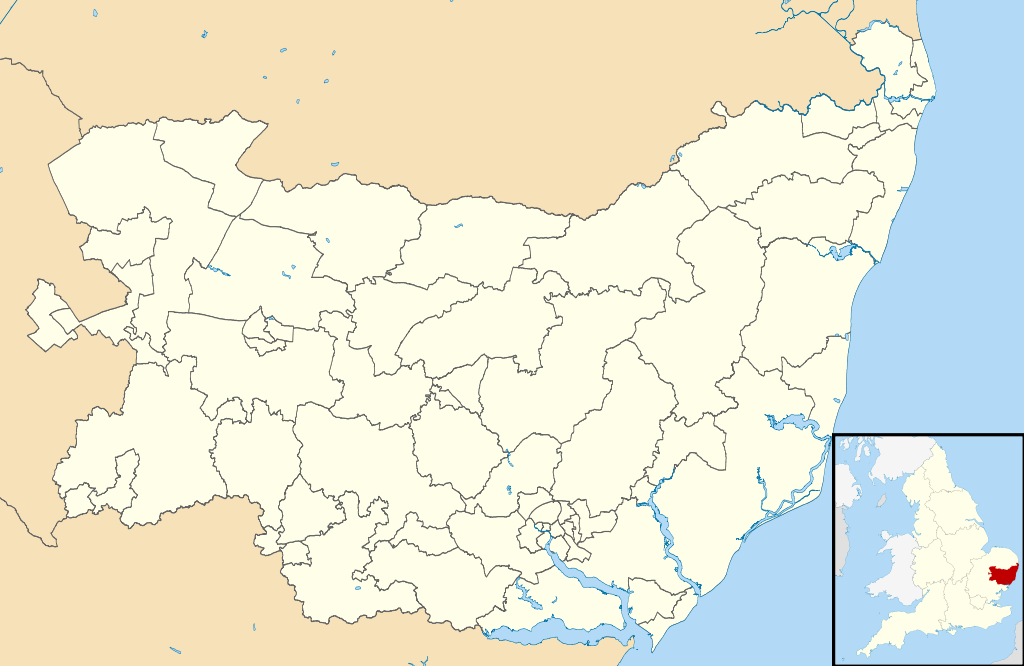
| 1,425 × 927 (1.5 MB) | Nilfanion | {{Information |Description=Blank map of Suffolk, UK with electoral divisions shown. Equirectangular map projection on WGS 84 datum, with N/S stretched 160% Geographic limits: *West: 0.30E *East: 1.90E *North: 52.57N *South: 51.92N |Source= |
File usage
The following pages on the English Wikipedia use this file (pages on other projects are not listed):
.svg)
Size of this PNG preview of this SVG file:
800 × 520 pixels. Other resolutions:
320 × 208 pixels |
640 × 416 pixels |
1,024 × 666 pixels |
1,280 × 833 pixels |
2,560 × 1,665 pixels |
1,425 × 927 pixels.
Original file (SVG file, nominally 1,425 × 927 pixels, file size: 1.5 MB)
| This is a file from the
Wikimedia Commons. Information from its
description page there is shown below. Commons is a freely licensed media file repository. You can help. |
| Description |
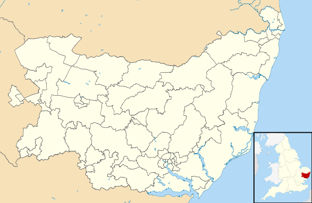
Blank map of Suffolk, UK with electoral divisions shown. Equirectangular map projection on WGS 84 datum, with N/S stretched 160% Geographic limits:
|
| Date | |
| Source |
|
| Author | Nilfanion, created using Ordnance Survey data |
| Permission ( Reusing this file) |
This file is licensed under the
Creative Commons
Attribution-Share Alike 3.0 Unported license. Attribution: Contains Ordnance Survey data © Crown copyright and database right
|
| Other versions | Derivative works of this file: Suffolk UK local election 2009 map.svg |
File history
Click on a date/time to view the file as it appeared at that time.
| Date/Time | Thumbnail | Dimensions | User | Comment | |
|---|---|---|---|---|---|
| current | 00:46, 10 October 2010 |
| 1,425 × 927 (1.5 MB) | Nilfanion | {{Information |Description=Blank map of Suffolk, UK with electoral divisions shown. Equirectangular map projection on WGS 84 datum, with N/S stretched 160% Geographic limits: *West: 0.30E *East: 1.90E *North: 52.57N *South: 51.92N |Source= |
File usage
The following pages on the English Wikipedia use this file (pages on other projects are not listed):