Photos • Location


Size of this preview:
800 × 538 pixels. Other resolutions:
320 × 215 pixels |
640 × 430 pixels |
1,024 × 688 pixels.
Original file (1,024 × 688 pixels, file size: 210 KB, MIME type: image/jpeg)
| This is a file from the
Wikimedia Commons. Information from its
description page there is shown below. Commons is a freely licensed media file repository. You can help. |
| Description |
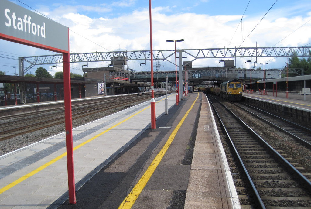
English: Stafford railway station:
Opened in 1837 by the Grand Junction Railway, brutalised in 1962. View south east towards Wolverhampton and Nuneaton. |
||
| Date | |||
| Source | geograph.org.uk | ||
| Author | Nigel Thompson | ||
| Permission ( Reusing this file) |
This file is licensed under the
Creative Commons
Attribution-Share Alike 2.0 Generic license. Attribution: Nigel Thompson
|
||
| Attribution ( required by the license) | Nigel Thompson / Stafford railway station / | ||

| Camera location | | View this and other nearby images on: OpenStreetMap |
|
|---|
_heading:135.00&language=en)
| Object location | | View this and other nearby images on: OpenStreetMap |
|
|---|
_heading:135.00&language=en)
File history
Click on a date/time to view the file as it appeared at that time.
| Date/Time | Thumbnail | Dimensions | User | Comment | |
|---|---|---|---|---|---|
| current | 17:00, 25 March 2014 |
| 1,024 × 688 (210 KB) | G-13114 | {{Information |description={{en|1=The platforms of Stafford Railway Station.}} |date=12 April 2011 |source= [http://www.geograph.org.uk geograph.org.uk] |author= Nigel Thompson |permission= {{Geograph|3382843|Nigel-Thompson}} |other_versions= }} [... |
File usage
The following pages on the English Wikipedia use this file (pages on other projects are not listed):
Size of this preview:
800 × 538 pixels. Other resolutions:
320 × 215 pixels |
640 × 430 pixels |
1,024 × 688 pixels.
Original file (1,024 × 688 pixels, file size: 210 KB, MIME type: image/jpeg)
| This is a file from the
Wikimedia Commons. Information from its
description page there is shown below. Commons is a freely licensed media file repository. You can help. |
| Description |
English: Stafford railway station:
Opened in 1837 by the Grand Junction Railway, brutalised in 1962. View south east towards Wolverhampton and Nuneaton. |
||
| Date | |||
| Source | geograph.org.uk | ||
| Author | Nigel Thompson | ||
| Permission ( Reusing this file) |
This file is licensed under the
Creative Commons
Attribution-Share Alike 2.0 Generic license. Attribution: Nigel Thompson
|
||
| Attribution ( required by the license) | Nigel Thompson / Stafford railway station / | ||
| Camera location | | View this and other nearby images on: OpenStreetMap |
|
|---|
| Object location | | View this and other nearby images on: OpenStreetMap |
|
|---|
File history
Click on a date/time to view the file as it appeared at that time.
| Date/Time | Thumbnail | Dimensions | User | Comment | |
|---|---|---|---|---|---|
| current | 17:00, 25 March 2014 |
| 1,024 × 688 (210 KB) | G-13114 | {{Information |description={{en|1=The platforms of Stafford Railway Station.}} |date=12 April 2011 |source= [http://www.geograph.org.uk geograph.org.uk] |author= Nigel Thompson |permission= {{Geograph|3382843|Nigel-Thompson}} |other_versions= }} [... |
File usage
The following pages on the English Wikipedia use this file (pages on other projects are not listed):